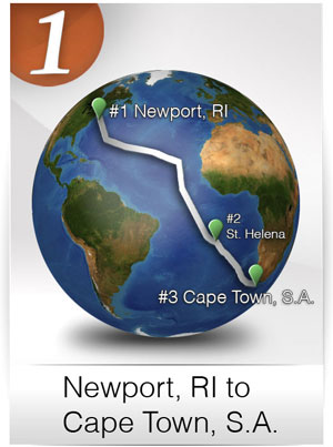
LEG 1 • Newport, RI to Cape Town, South Africa (39 Days – 7200 Miles)

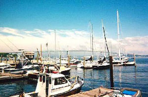
#1) Leaving NEWPORT, RHODE ISLAND

Coordinates: 41°28’37.58″N, 71°20’2.32″W – Google Maps
Course from Start: Leave historic Newport, Rhode Island on a southerly course towards the equator, and then eastward.
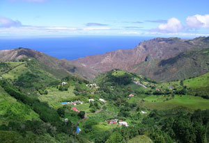
#2) Commence onward to ST. HELENA ISLAND (in the middle of the Southern Atlantic)

Coordinates: 15°55’4.42″S, 5°43’42.36″W – Google Maps
Length of sail: 5758 miles
Expected duration of sail: Approximately 30 Days
Goal: This remote and desolate island in the middle of the south Atlantic provides a unique opportunity to stop and explore. The island was uninhabited when it was discovered by the Portuguese in 1502. One of the most isolated islands in the world, it was for centuries an important stopover for ships sailing to Europe from Asia and South Africa. The British also used the island as a prison and place of exile. A major breeding site for seabirds, it has well-preserved coral systems and many endemic and non-endemic fish species.
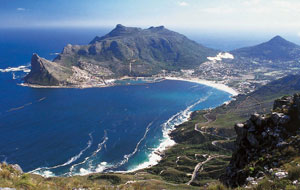
#3) Commence onward to CAPE TOWN, SOUTH AFRICA
Coordinates: 33°54’10.41″S, 18°26’35.00″E – Google Maps
Download .kmz file & click to open in Google Earth (get plug-in)
Length of sail: 1700 miles
Expected duration of sail: Approximately 9 Days

Cape Town
Goal: Visit whale habitat, various cultural areas and this historical maritime waypoint for world circumnavigators both modern day and historical. Cape Town is known as the “Tavern of the Seas.” With a population of 3.75 million, it is one of the most multicultural cities in the world, reflecting its role as a major destination for immigrants and expatriates to South Africa.
