 Most conservation efforts around the world are focused on protecting animals and their habitats in their natural conditions. Many of our Earthwatch Institute scientists study endangered species so that we can better understand their lives, their movements and how they interact with their environment. Such scientific efforts also help to inform lawmakers who can then move to protect important areas, ban hunting or harvesting of rare species or manage existing threats to animal populations.
I am very lucky to be involved in conservation action which takes a slightly different route to protecting endangered species: rescue and rehabilitation of sea turtles.
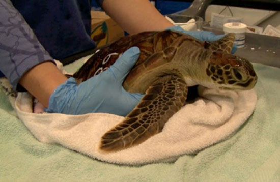
A green sea turtle getting an exam – (source: rescue.neaq.org)
Every winter, turtles in New England run into trouble if they fail to migrate south to warmer waters. Sea turtles are superbly suited to life in the ocean, but as they are reptiles they don’t thermo-regulate. Instead they rely on the surrounding water to control their body temperature. If the temperature drops too low, the turtles can suffer from a form of hypothermia called “cold-stunning.”
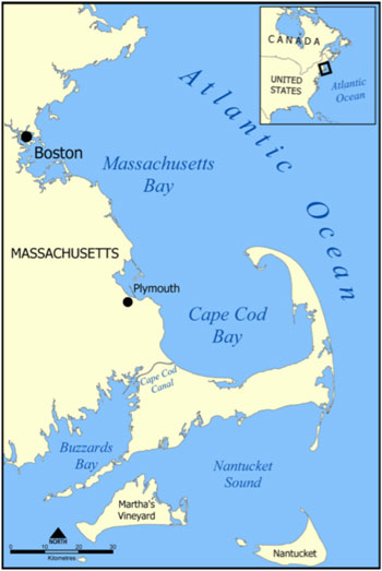 We usually associate sea turtles with warm tropical waters, but New England waters are important summer foraging areas for several varieties, including juvenile Kemp’s ridley, loggerhead, and green sea turtles. When the air temperature starts to drop, that’s a sign that the turtles need to start moving south; they’re usually long gone by October. But some turtles fail to migrate and end up incapacitated by the cold water. They float in the water unable to move and are pushed by wind and waves until they wash up on a beach. In Massachusetts, the highest concentration of these strandings occur along the beaches of Cape Cod Bay.
It’s not known why some turtles don’t head south. Some scientists believe that turtles that are spending time in shallow bays may be caught suddenly as the water can cool very quickly in these types of environments. Others think that turtles which enter Cape Cod Bay may be unable to navigate out of it as heading north to get around the tip of the cape is counter to their instincts. In any case, every year many turtles will strand on these beaches, though 2012 was a record-breaking year with over 240 turtles rescued off cold beaches.
The rescue operation starts with a team of very dedicated volunteers from Massachusetts Audubon’s Wellfleet Sanctuary, who carefully walk the beaches after every high tide whether that’s early in the morning, late at night or in bad weather. When the turtles wash ashore they are exposed to extremely cold air, so it is important to find these turtles as soon as possible. After a quick exam, the turtles are transported to the New England Aquarium Animal Health Center where veterinarians and rescue staff coax them back to life.
As the turtles slowly warm up they will be assessed for injuries, have blood drawn, have x-rays taken and be allowed to swim in shallow pools with supervision. Once they warm up, they will be moved to the big tanks to continue their recovery. Rehabilitation can take months as turtles can have injured flippers, pneumonia, eye injuries among other ailments which need medical attention. One turtle even received acupuncture!
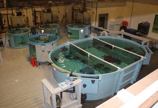 Tanks hold turtles until they are recovered enough to released – (rescue.neaq.org)
Once they are stable they may be transported to other facilities that will continue to care for the turtles until they can be released to the wild. Over 80% of the cold-stunned turtles which come to the New England Aquarium will make a full recovery and be released back into the wild. Some of these turtles will be fitted with satellite tags which will track them in their first months of freedom. This is helping scientists learn more about sea turtle navigation and movement.
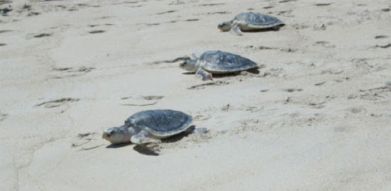
Kemp’s ridley turtles being released – (rescue.neaq.org)
Why is this work important? The rescue team regularly rehabilitates three species of turtle: loggerheads, greens, and Kemp’s ridleys. All three of these are classified as “endangered” with decreasing populations. The Kemp’s ridley in particular is the most critically endangered species of sea turtle in the world; in the past 70 years, the population has gone from 89,000 nesting females to only around 1,000! Kemp’s ridley turtles have an interesting nesting ritual callled an “arabada” or mass nesting where the females will come on to the nesting beach all at once taking over whole sections of the beach. (See photo below.) This behavior makes them very susceptible to hunting, which has severely reduced their population. Today they are also threatened by habitat destruction, pollution and entanglement in fishing nets. There is a huge amount of conservation work being done to address these threats including fitting trawl nets with turtle exclusion devices (TEDs) and protecting nesting beaches. The work to save these turtles from certain death in Cape Cod Bay is just one part of the bigger work being done to save these species from extinction, and part of the much grander effort to preserve the diversity of life in the natural world, of which we are all a part.
Want to learn more about sea turtles?
• Follow the New England Aquarium Rescue team’s blog at rescue.neaq.org to learn more about cold-stunned sea turtles.
• Visit seaturtle.org which has lots of interesting information about sea turtles and sea turtle science.
• Take the hands-on approach and sign up for an Earthwatch expedition studying sea turtles.
• If you live in the Cape Cod or Long Island region volunteer as a beach walker or turtle transport driver.
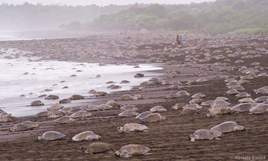
An arabada, Spanish for “arrival” nesting event – (source: jameskaiser.com)
:: Tegan’s Earlier Science Notes:
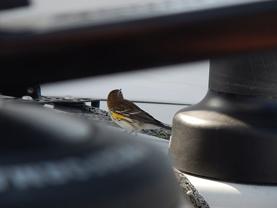
#1 – Bird Migrations
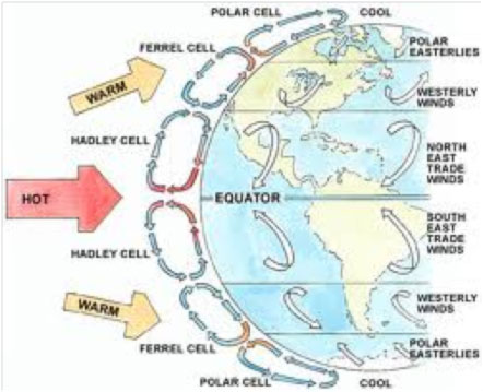
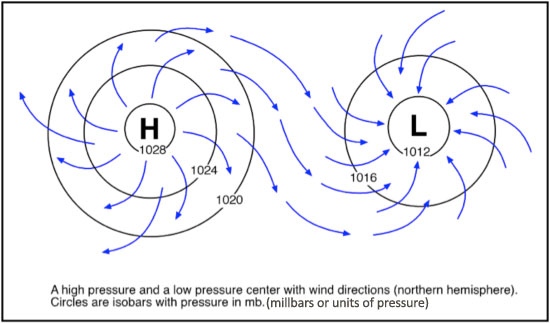
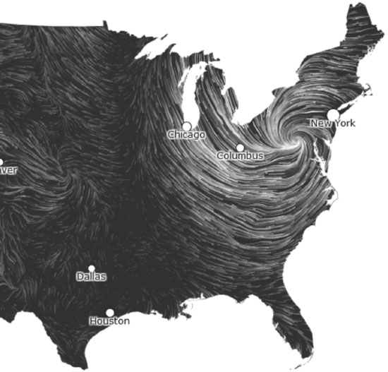
#2 – Wind and Weather
:: Citizen Science Resources Page
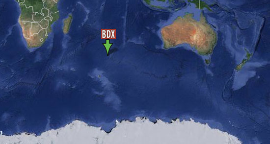
:: BDX Explorer Guides
– Our Watery World
– Wind and Weather
– Math
– Sea Life
– Oceanography
– Sailboat Glossary
– Mentor Guide
Do you happen to know other scientists, educators or journalists who might be interested in our Learning & Discovery agenda? If so, we’d love to make their acquaintance. We can always be reached at oceanexplorer@bodaciousdreamexpeditions.com … Thank you!
Email List Sign-Up … Right here!


 “I’m happy to report that Dave’s bird sighting has been