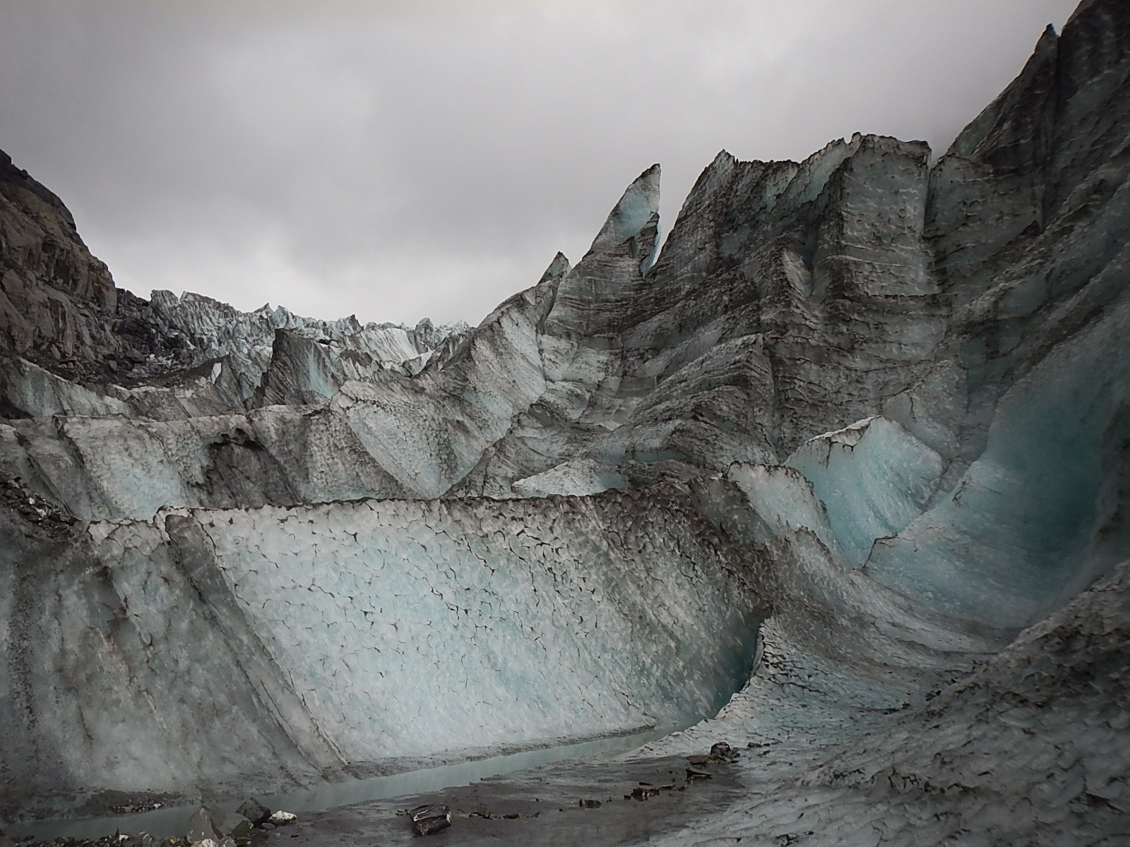
The South Island of New Zealand generously provided a number of amazing experiences over the week I toured it recently, but the one experience that stood out for me was a visit to the Fox Glacier, located near the coast in the Westland Tai Poutini Park near the small town of Fox Glacier.
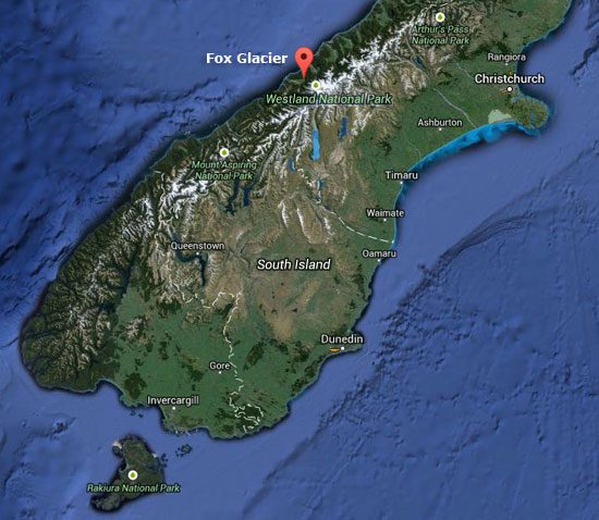 Fox Glacier in New Zealand’s Westland National Park
We’ve all heard news reports that drum into us how the glaciers of the world are melting away, and what significance this might have. Getting the chance to see a glacier firsthand and up close made clear the pressing reality behind those reports. As you may know, I am a student of the world at large and especially of the natural wonders of the ocean, but nothing in my many wanderings prepared me for the transcendent beauty and force of a glacier.
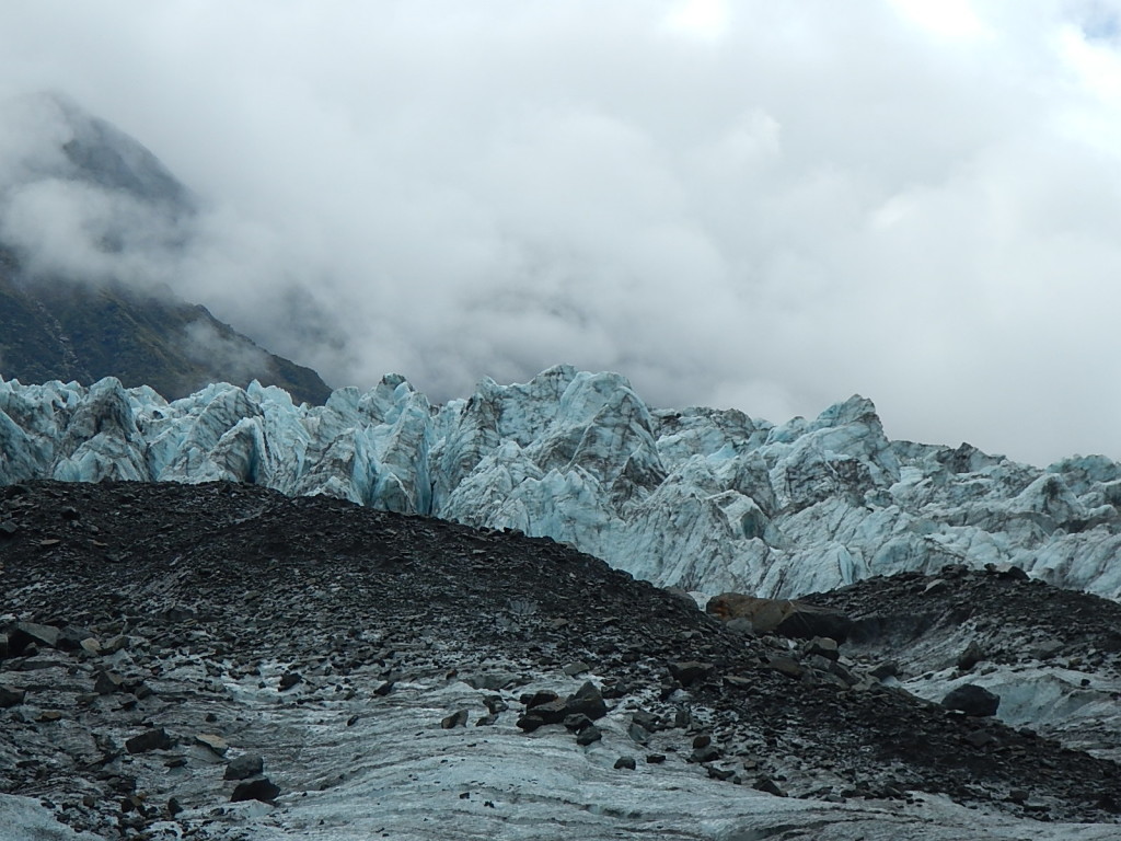 A sample of the visions to be found. See slideshows below for much more.
The Fox Glacier moves down from a bowl area that sits higher up in the mountains where the snows collect and remain year-round. These snows pile up and compress under the weight of many years of previous snows, which turn into this massive river of ice that works its way down through the rocky passes and towards the ocean. In the case of the Fox Glacier, its terminal face, curiously enough, ends in a rainforest on the coast of the South Island.
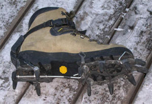 Upon arriving at Fox Glacier Guiding, we were fitted with boots, crampons (spikey boot attachments for walking on ice), special waterproof coats and pants, gloves and hats, after which we got special instructions and training from our guides. Once ready, the 20 of us boarded a bus for the three-mile drive to the parking area at the base of the glacier.
As we began our hike to the glacier, our guide Jess explained that the barren rock on the walls of the river canyon gave clear indications of where the glacier was as recently as 2008. Just five years ago, the ice was significantly higher up the walls of the canyon – (over 125 feet) and it reached a good deal further down towards the ocean. Maybe “significant” isn’t a powerful enough word … perhaps the photos can tell a better tale.
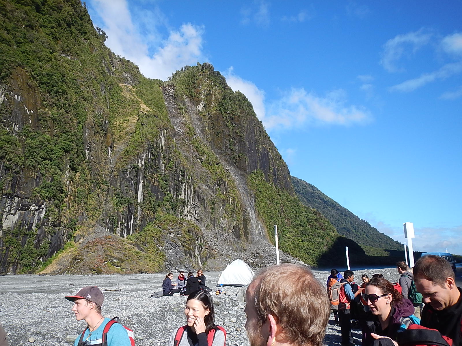
The sheer cliffs of the lower area by the parking … as the hike begins.
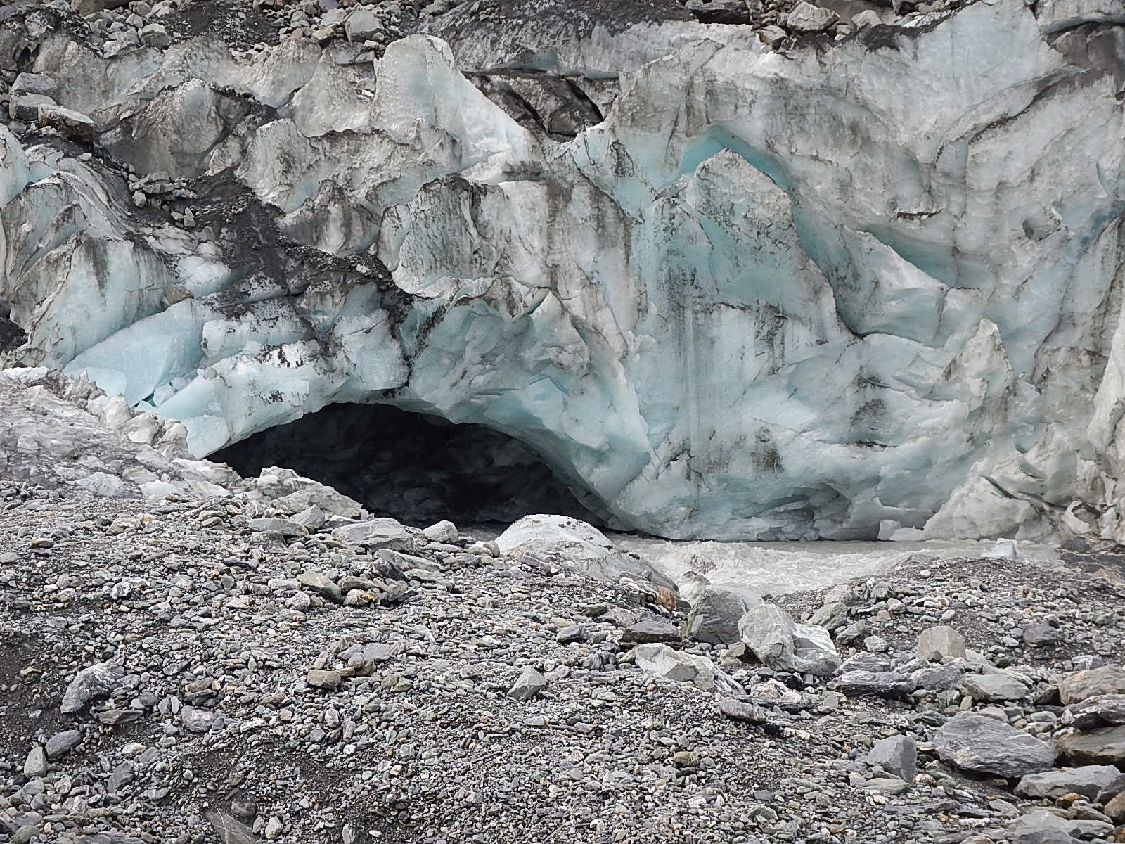
The ice cave at the melting end of the glacier. This area will likely collapse within a few months.
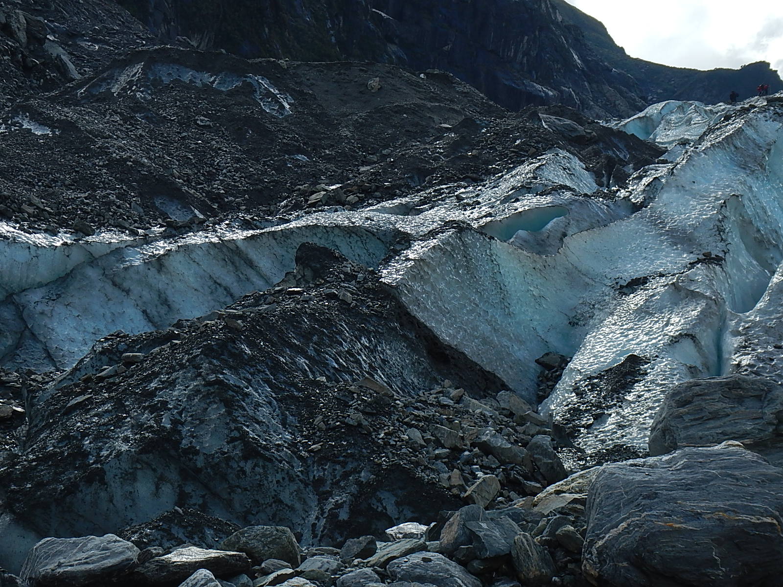
Looking up into the Terminal Face of the glacier…..starting to hike onto the glacier. The high ridges and cracks caused by the pressure
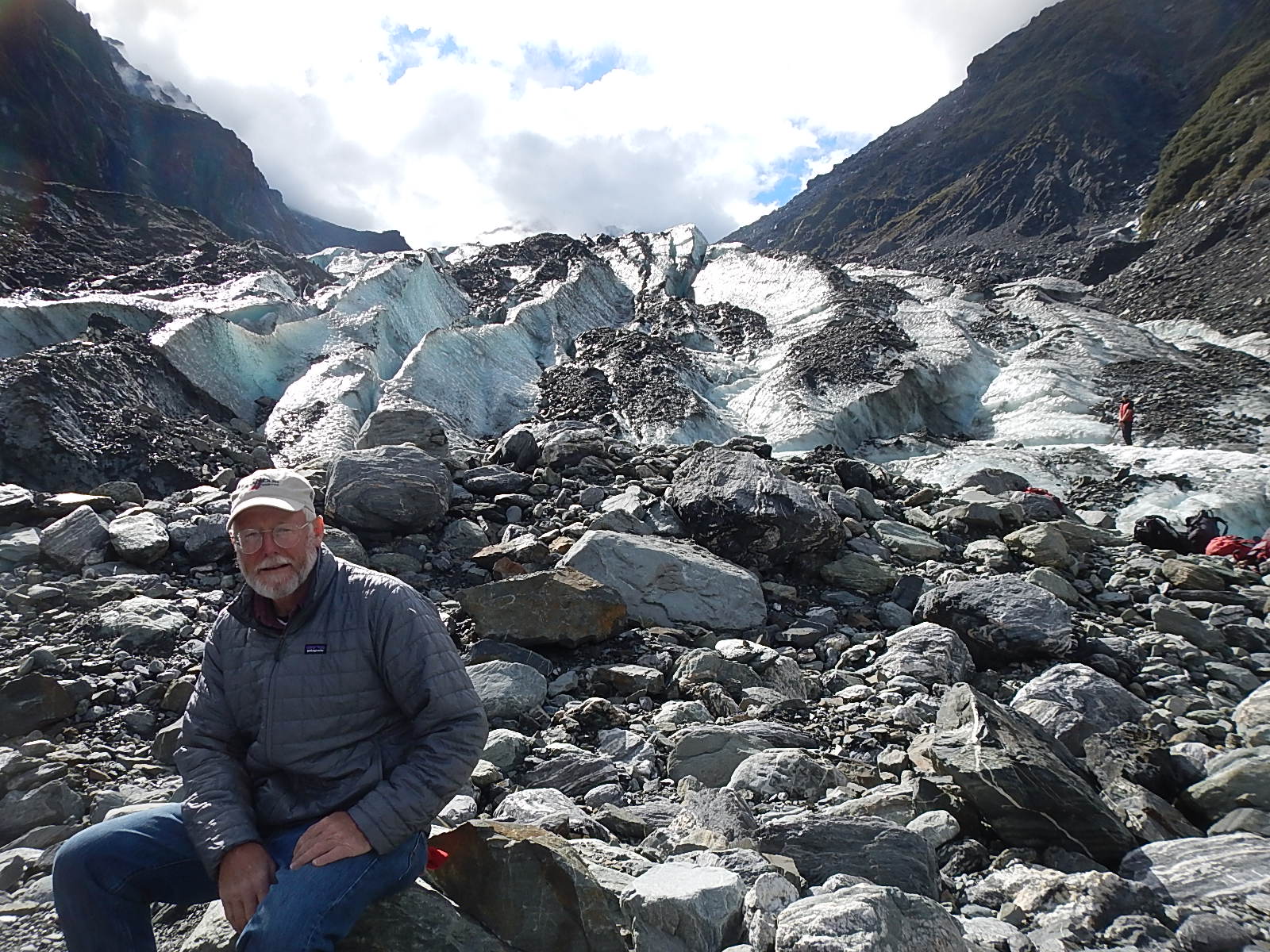
Think we’ll call this "Dave on the Rocks.” Notice in the photos the barren rock and then vegetation above it ... this is the mark from about 2008 where the glacier was then.
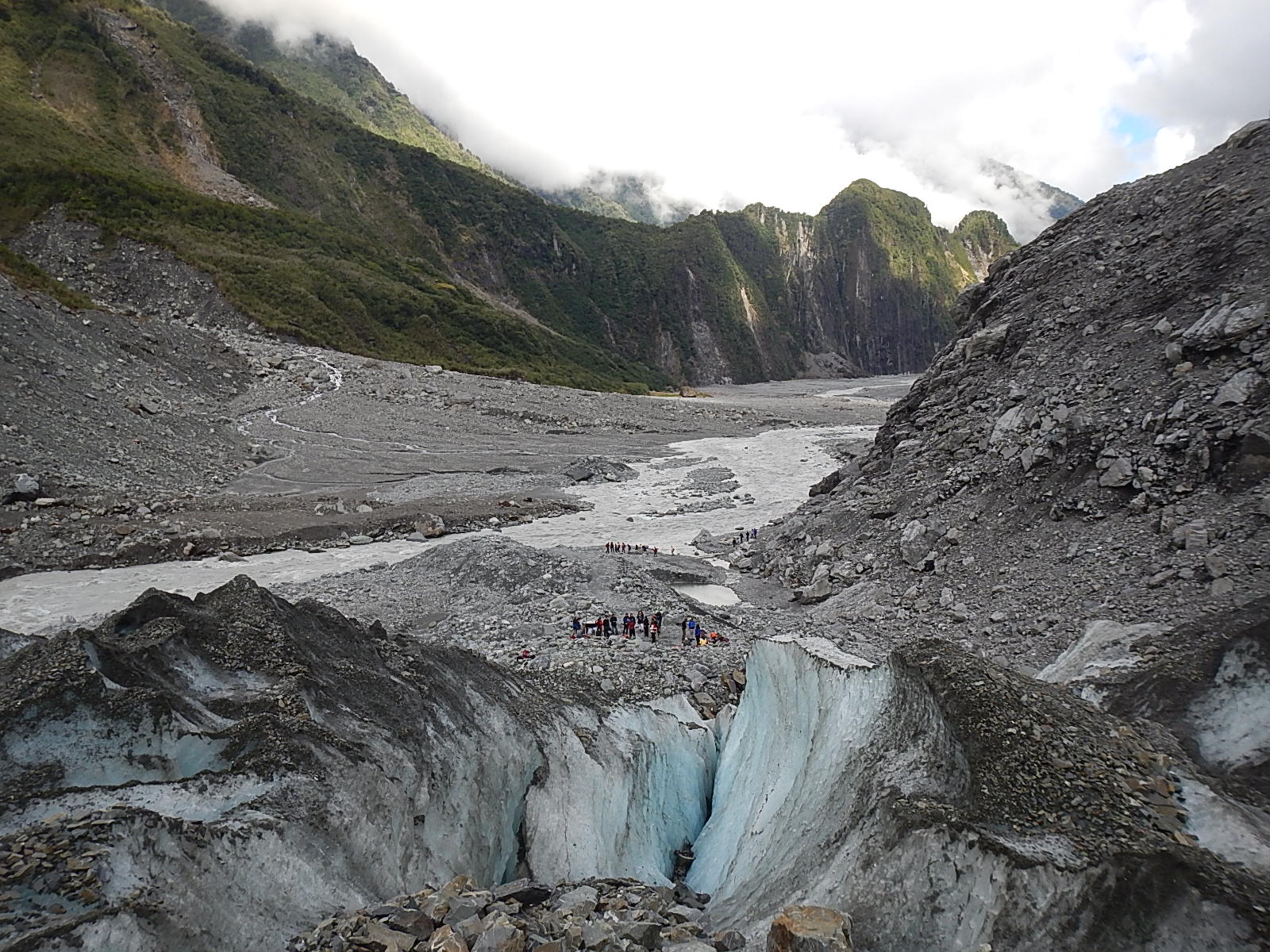
Looking down to the river through the melting glacier. Notice in the photos the barren rock and then vegetation above it that marks from about 2008, how high the glacier was at that time.
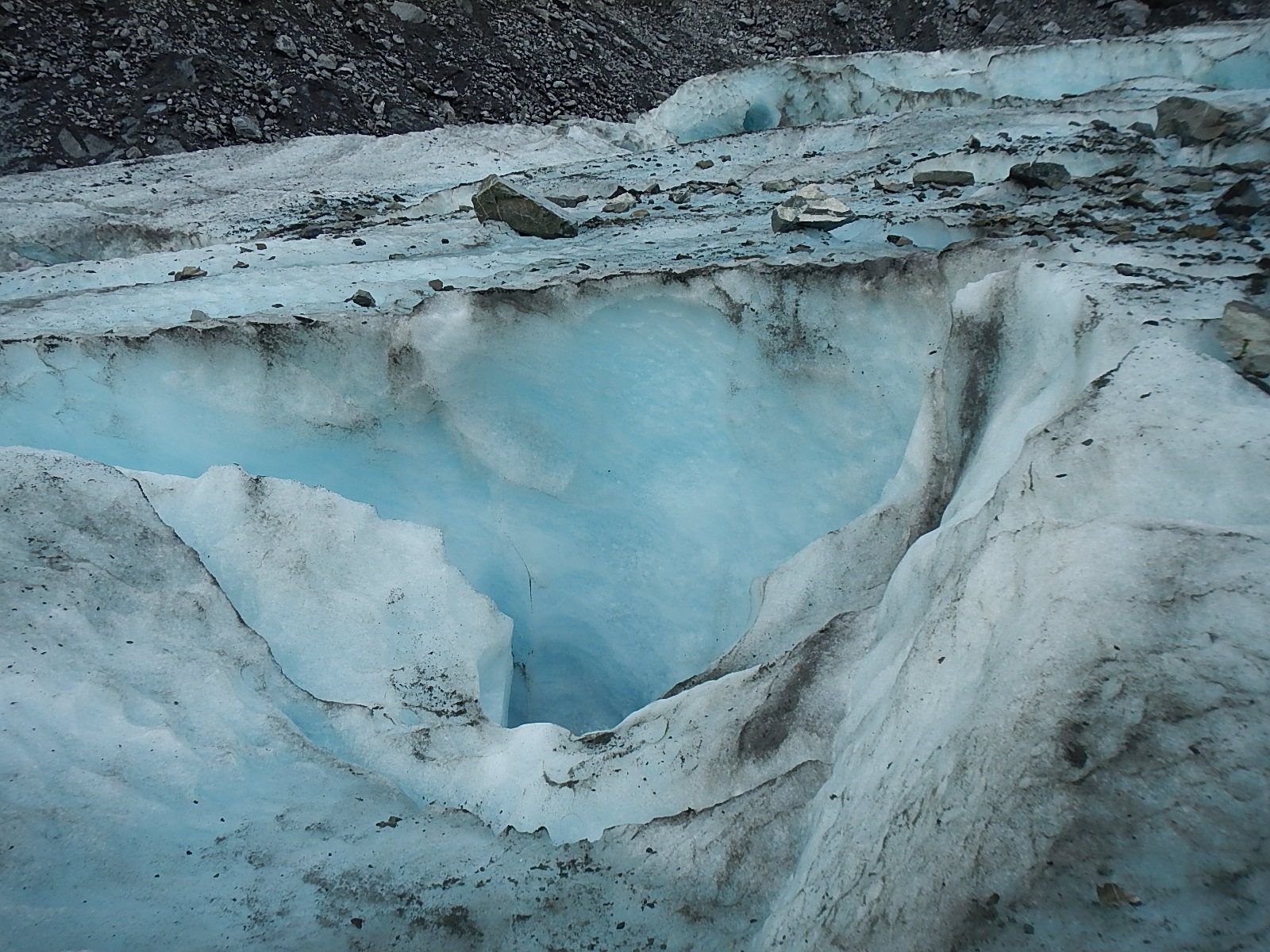
One of the many blue crevasses along the top of the glacier.
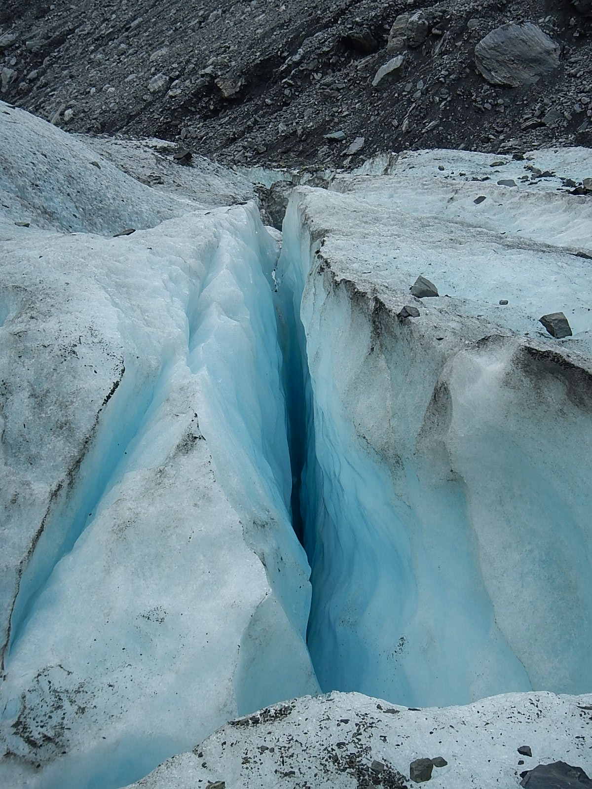
Another of the many cracks and crevasses along the top of the glacier.
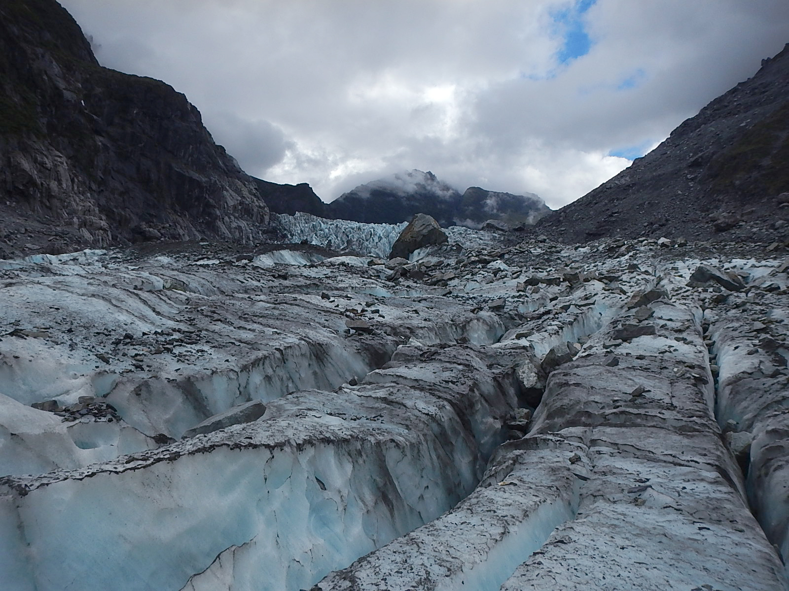
A wider angle on the cracks on the glacier
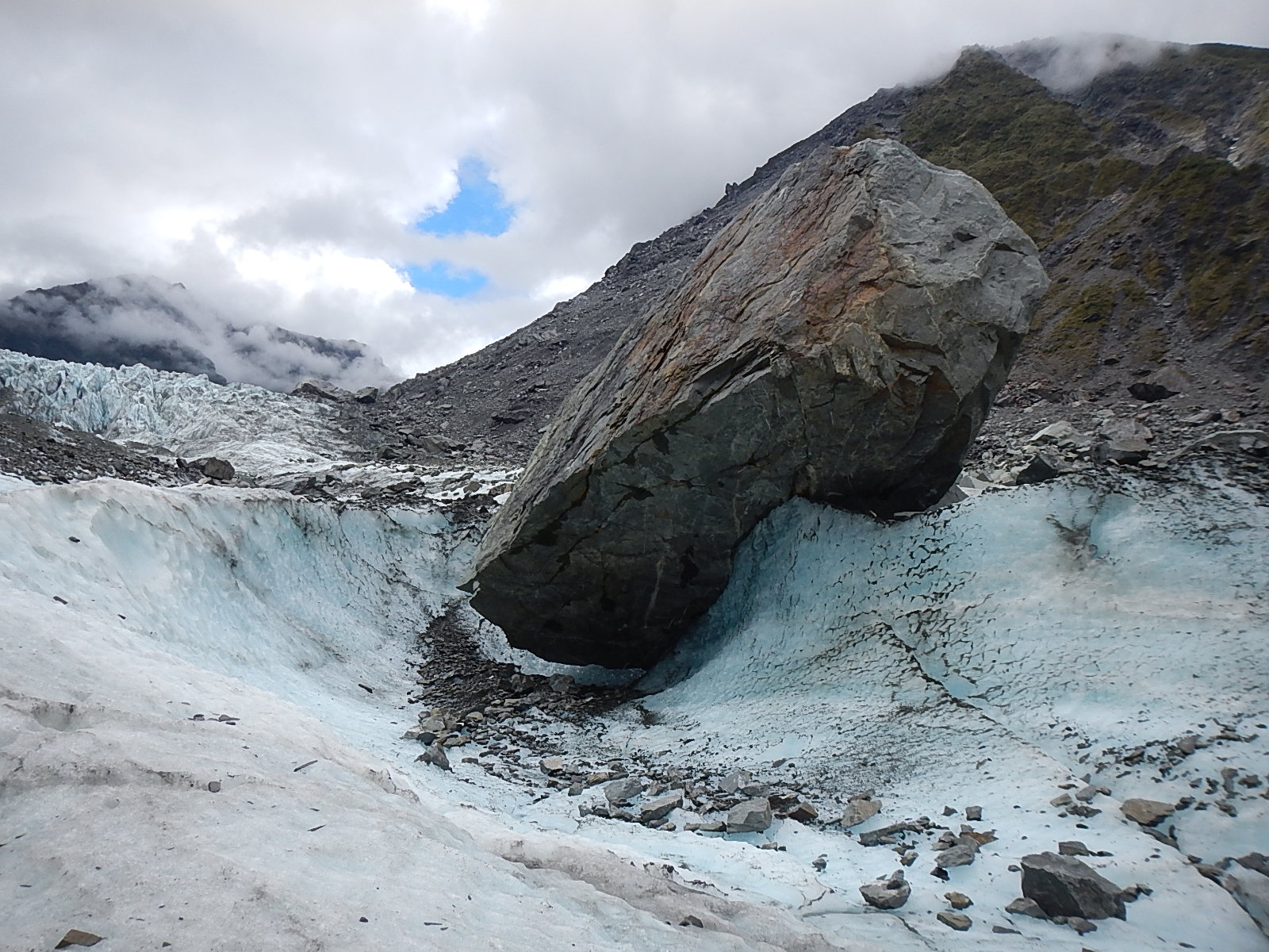
This the huge bolder I mention in the story, the size of a small truck which has been moving down the glacier for the past five years, and although it’s been in plain sight all along, no one has ever seen it move. The slow and unstoppable power of the glacier has twisted, turned and flipped the stone without anyone noticing it over the past five years.
#1 – Click arrows to advance! Scroll over to read descriptions.
We hiked up to the terminal face and then up into the glacier itself, where for the rest of the afternoon, Jess took us past enormous holes where melting water runoff was eating away at the glacier. We hiked past caves and crevasses, up into ice canyons and through ice tunnels, all of such pristine beauty and stillness that it was hard to keep in mind the stark reality that this glacier was melting away at an alarming rate.
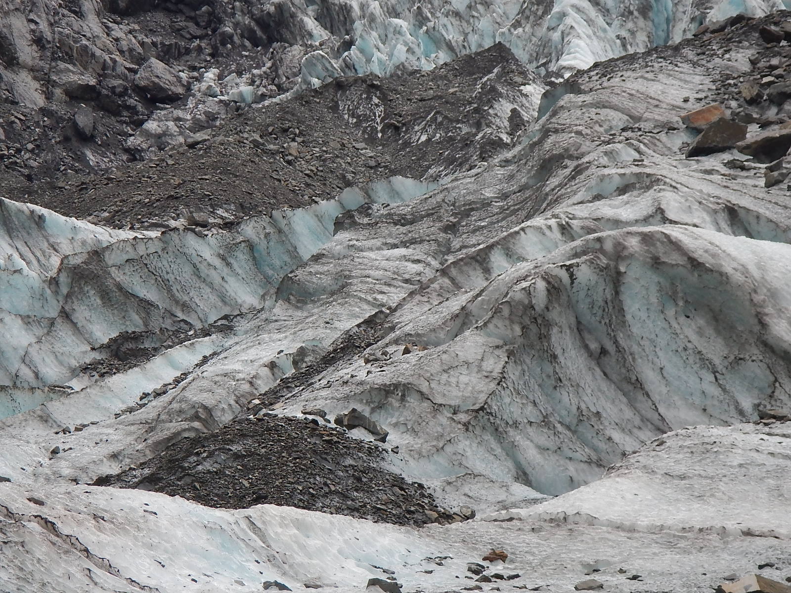
The crystal like angles that the ice assumes under the powerful pressure
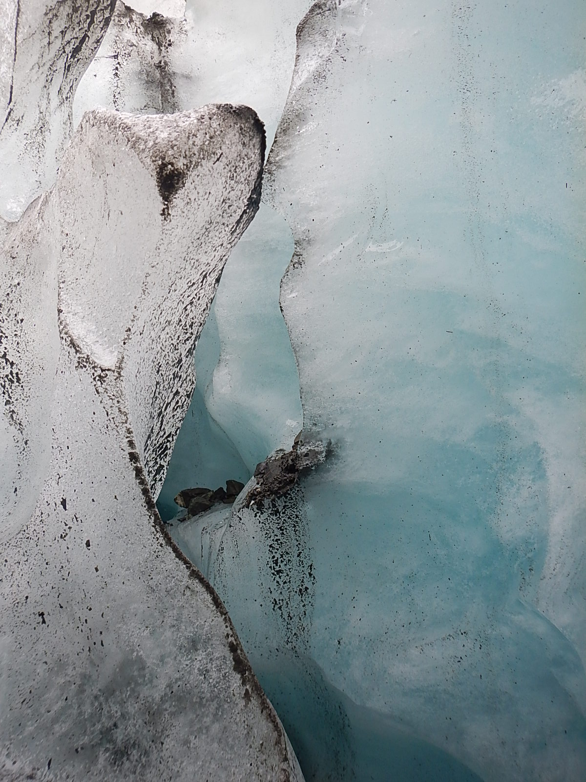
Exotic formations of the melting ice in the ice cave.
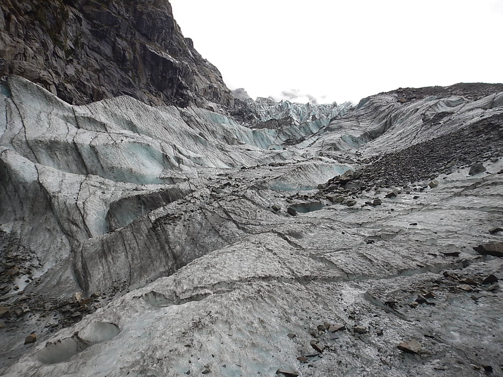
More shots up the glacier….just so much beauty to absorb at every moment.
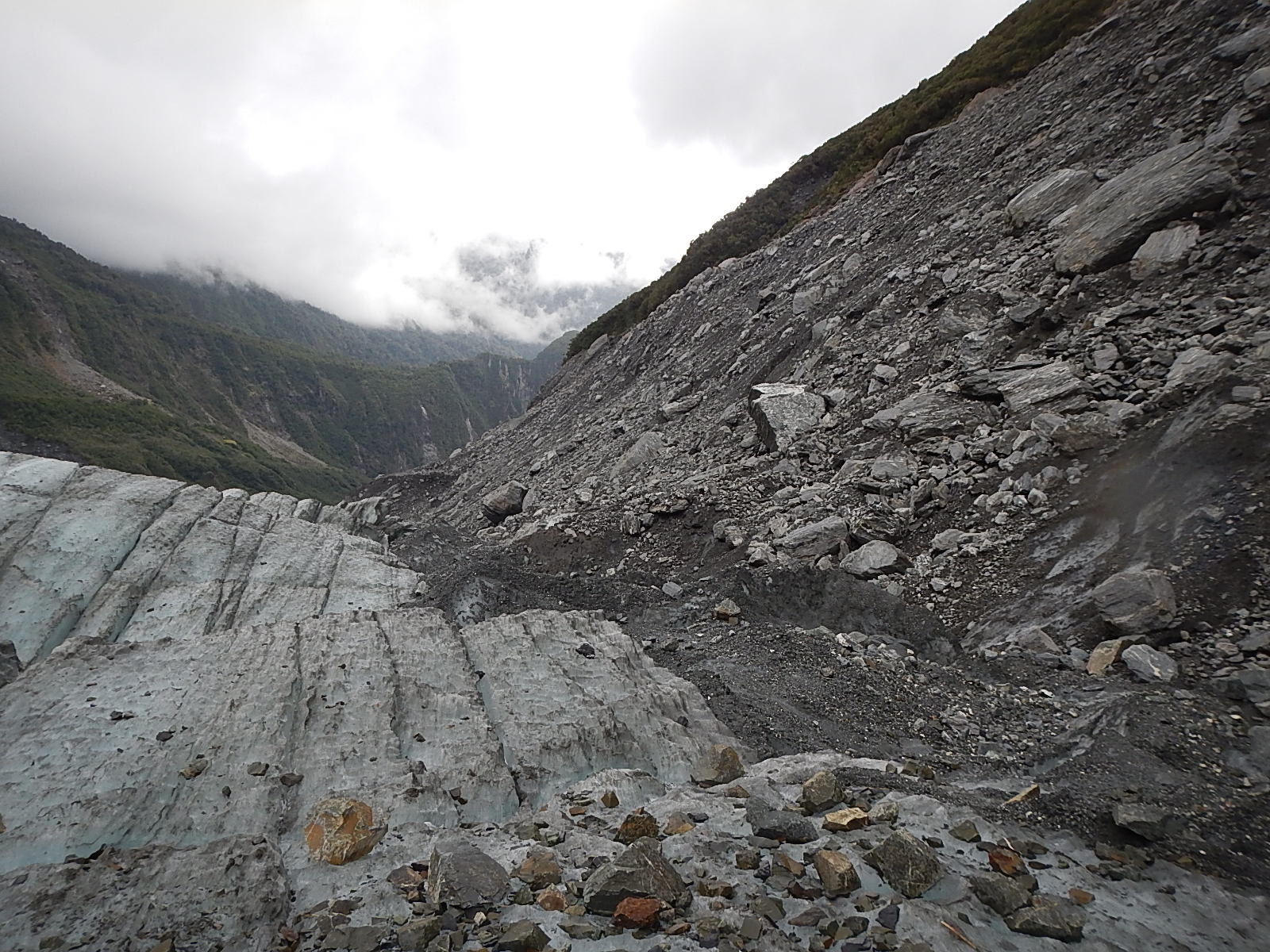
A great shot of the exposed and barren faces of the canyon showing how much the glacier has melted in the past five years. The vegetation line is from 2008.
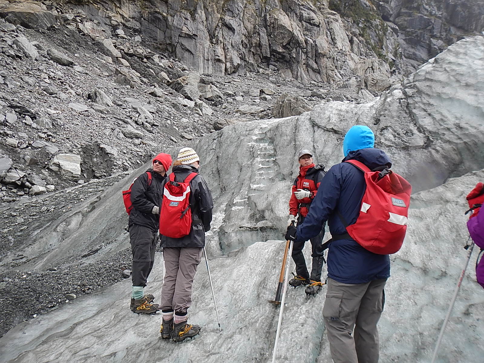
Jess, our guide gives us safety instruction as we hike up into more ice.
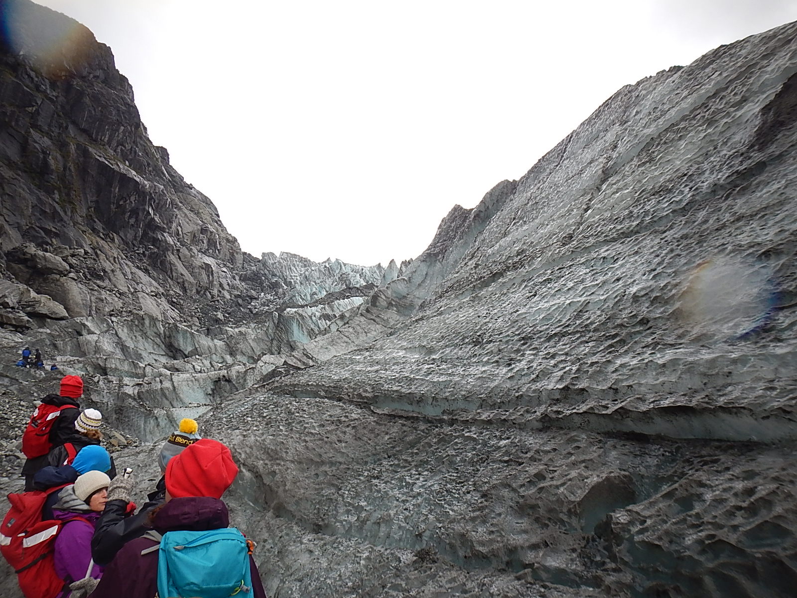
Off we go … hiking up into the ice
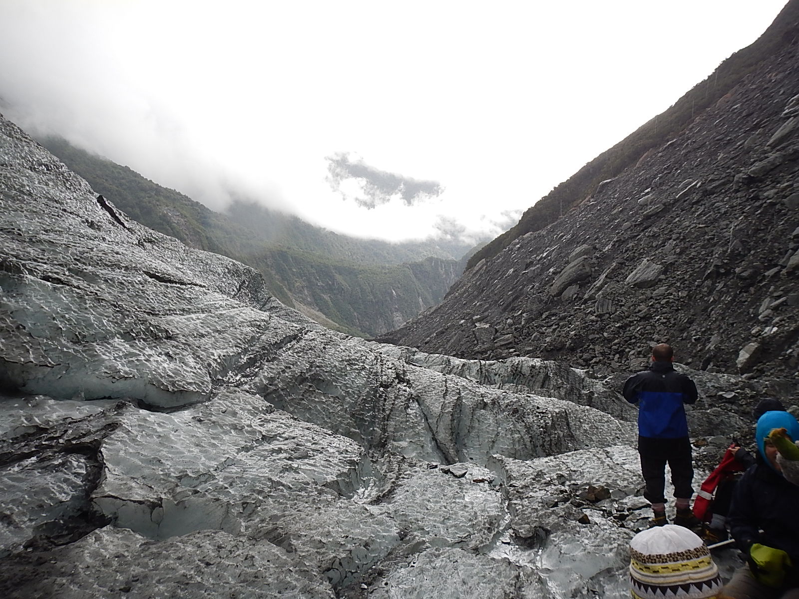
DSCN2351
Another good shot of the vegetation lines, near and in the distance, where the glacier was just five years ago.
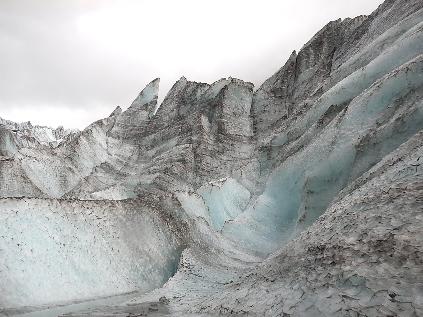
I know I repeat myself … Beautiful ice formations
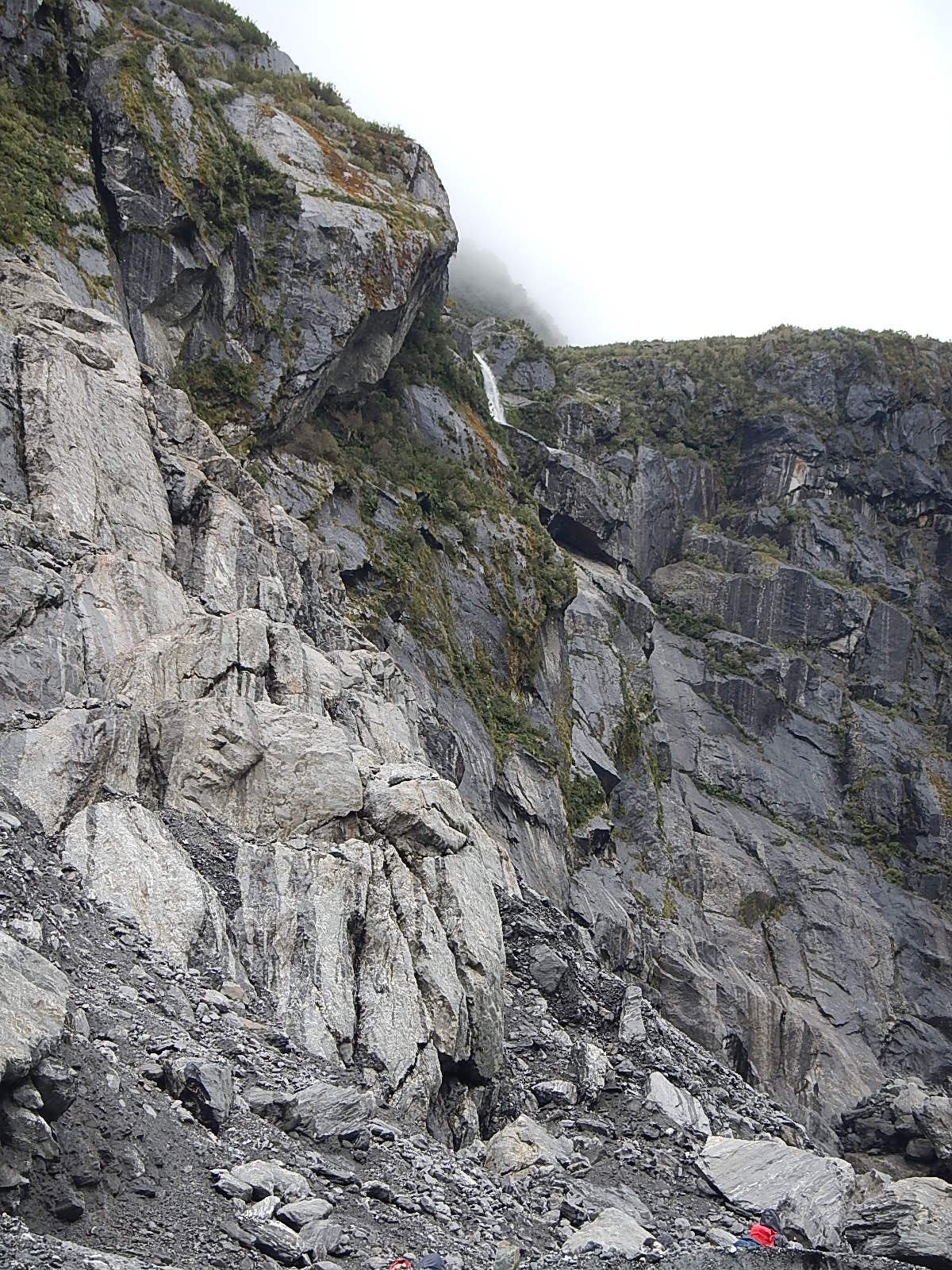
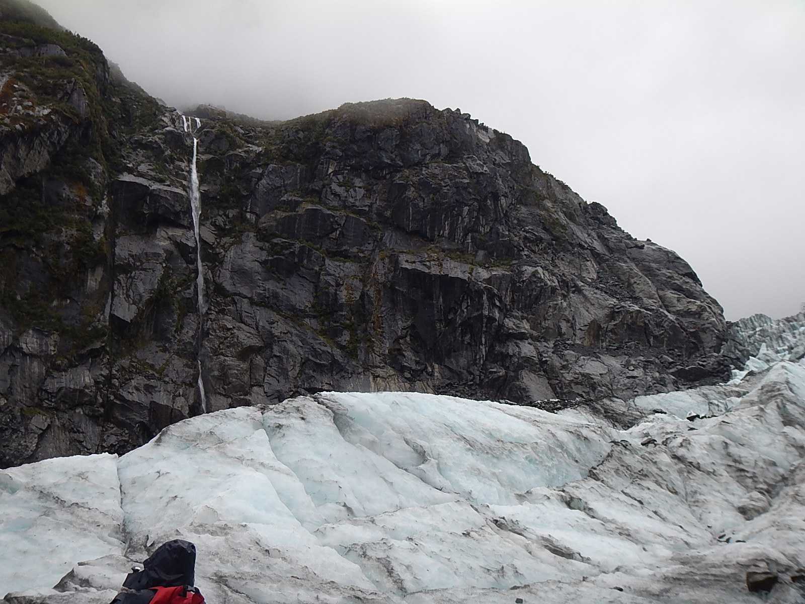
Rock, ice and mountains and a waterfall … surround the glacier.
#2 – Click arrows to advance! Scroll over to read descriptions.
As we came down from our last ascent, we looked across about 30% of the glacier that was too dangerous to traverse. Jess explained to us that this area was being eaten away by the river, and the unseen melt below was causing a collapse inward. From where we stood, we could see the unstable cave from which icy water rushed out. Jess further explained that by the end of this season, the entire area might well wash away and that within a couple of years, the entire terminal face of the glacier might be too unstable to access by foot.
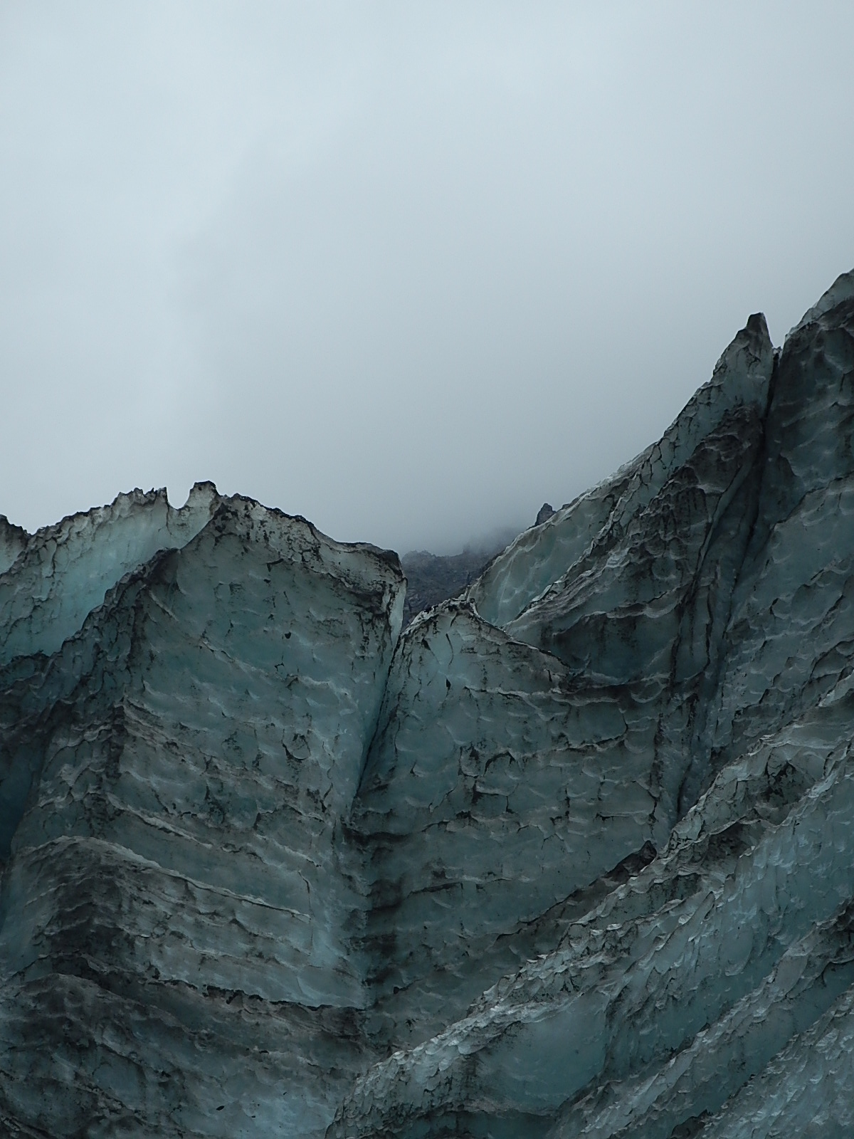
The ice is in constant motion …
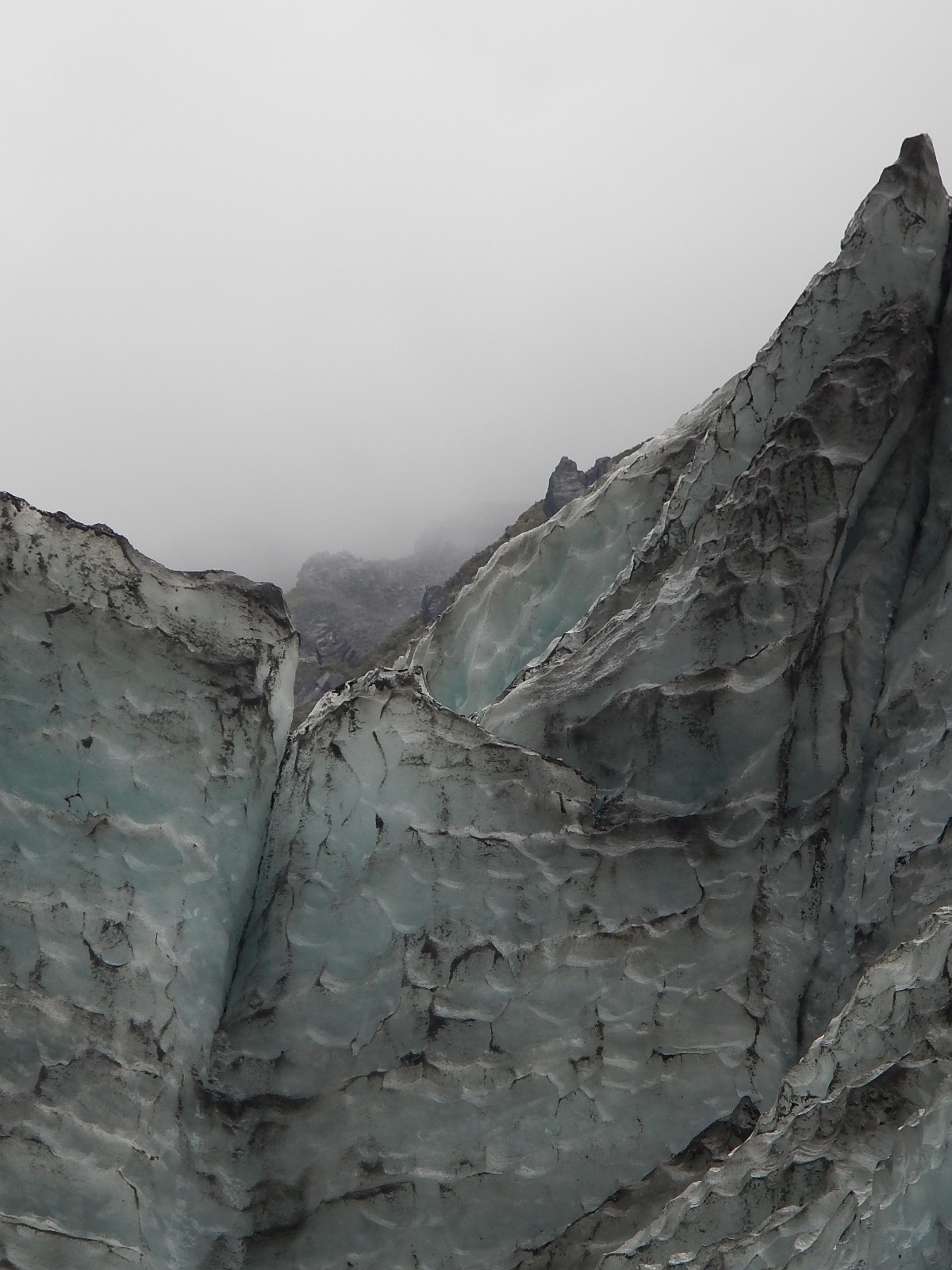
The eye is in constant motion as well, trying to make sense of this otherworldly beauty
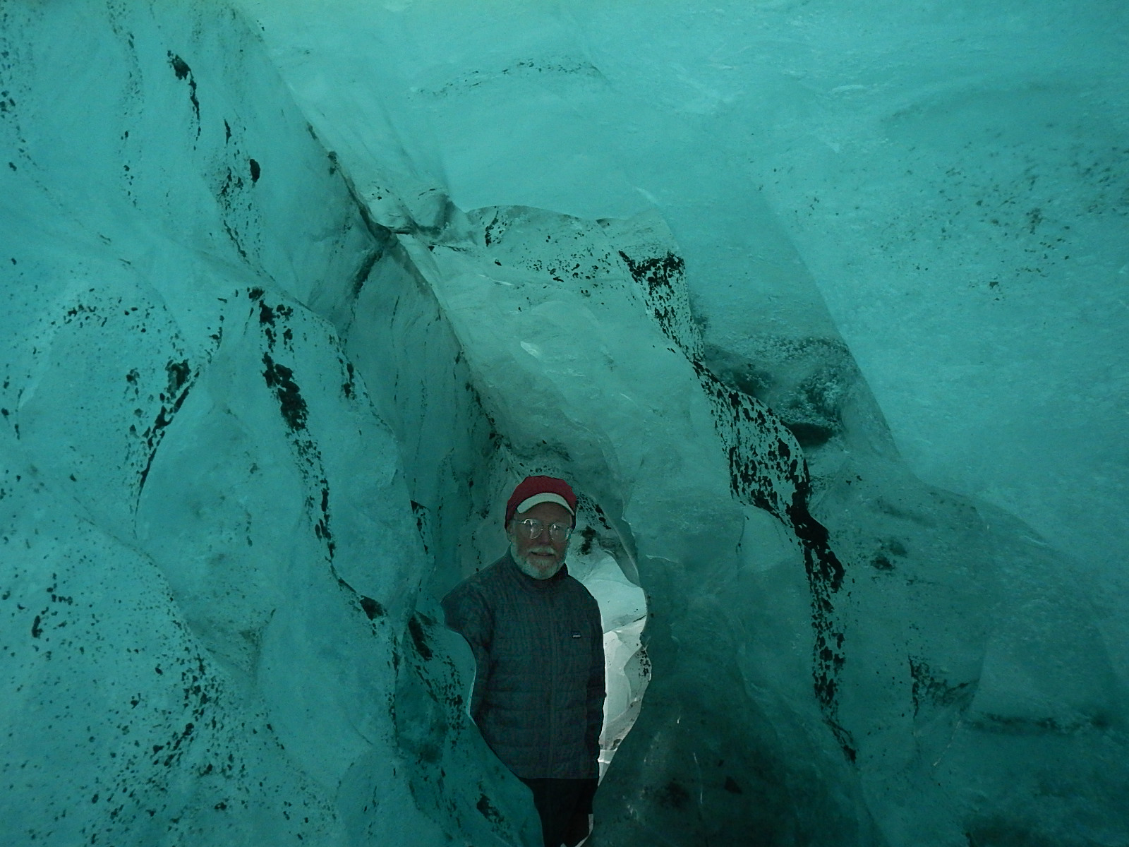
Dave in an ice cave … and one we could pass all the way through. We were one of the first groups to see this particular ice cave and go through it. Jess said it might well be closed up and gone in just a couple of days.
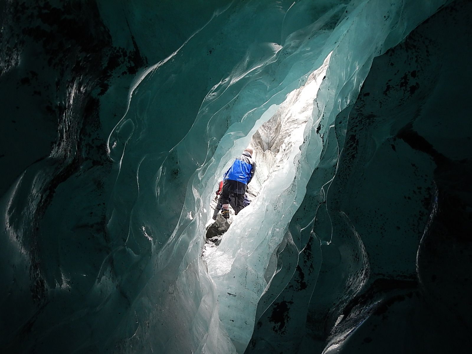
Another shot from inside that same cave looking out
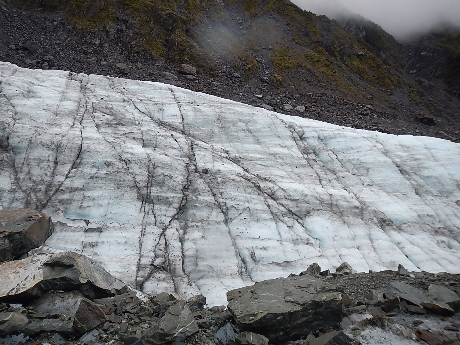
The eternally contemporary art of ice … too too cool!
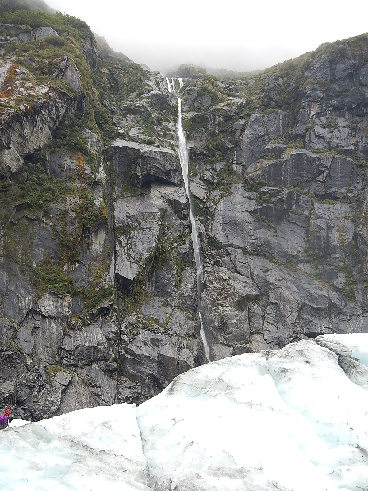
The dancing beauty of a hidden waterfall
The wet darkness of the earth, the frosty brightness of the ice, and the perfect fluidity of the water …
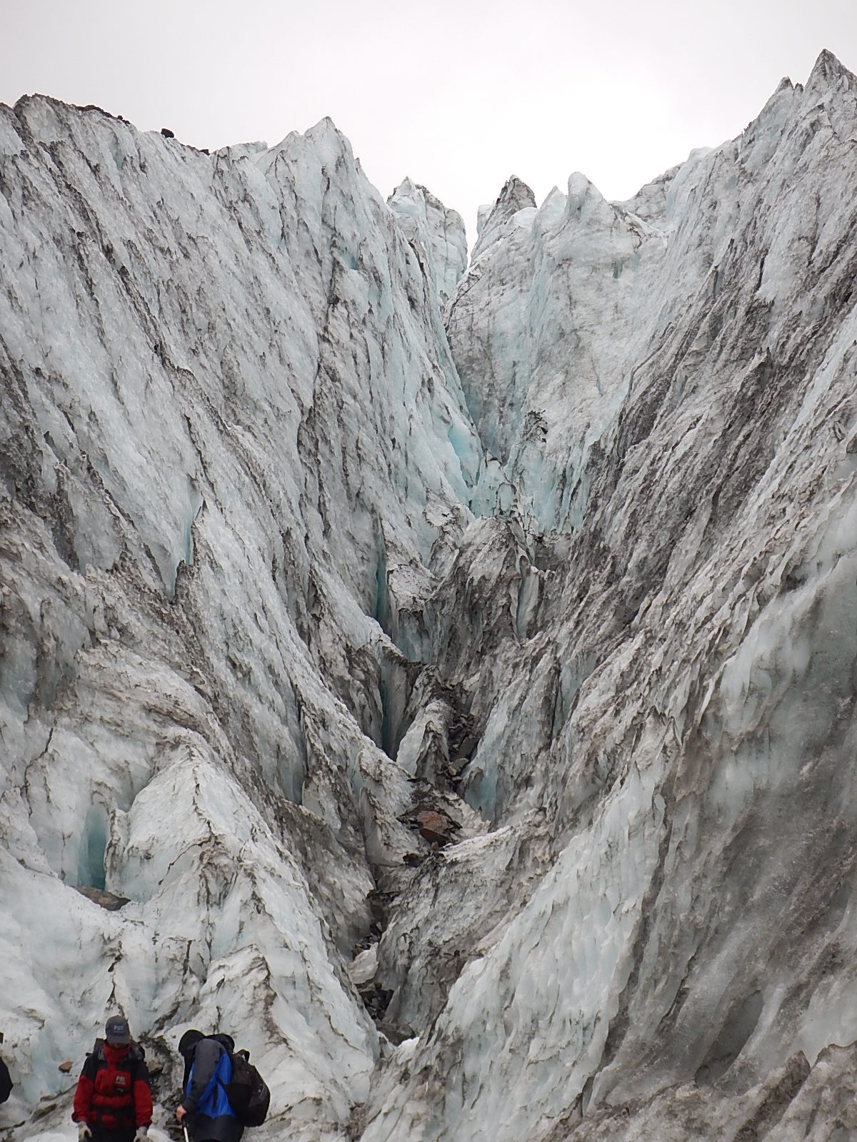
Up into an ice canyon … this shot gives you a sense of the scale of the glacier. Trust me, it’s humbling.
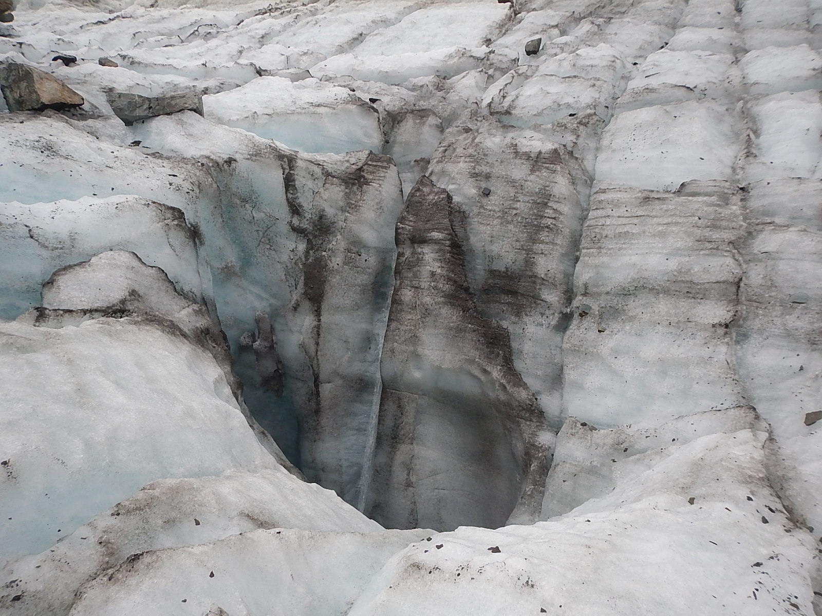
A melting black hole. Though there’s nothing to show the scale of it, this is probably about 10 feet across and it is there to feed a huge and fast growing break-off of more ice.
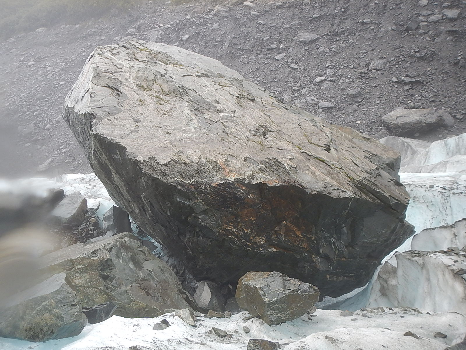
Back to the huge bolder the size of a truck … on the way … from a different angle
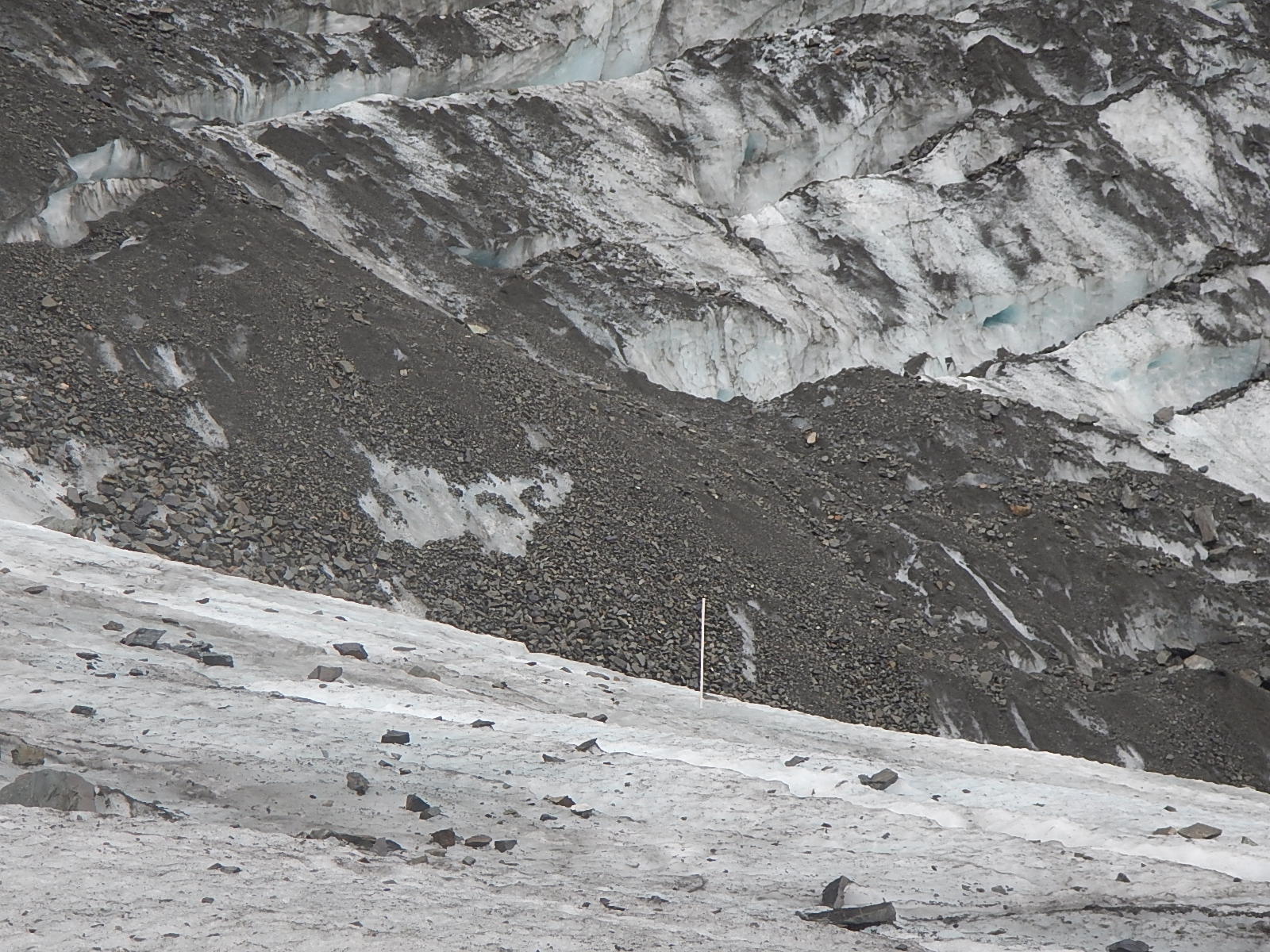
An ablation marker. These poles are driven level to the top of the ice. As the ice melts, they become exposed. This marker shows a meter or more of ice has vanished, and it only took a week to happen.
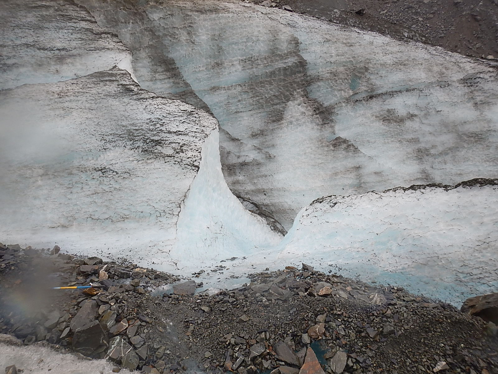
A parting shot of the beautiful surface of the ice. Do you think the early cave painters might have seen signs and symbols in these markings? I know I did.

An ablation marker. These poles are driven level to the top of the ice. As the ice melts, they become exposed. This marker shows a meter or more of ice has vanished, and it only took a week to happen.

Back to the huge bolder the size of a truck … on the way … from a different angle

A melting black hole. Though there’s nothing to show the scale of it, this is probably about 10 feet across and it is there to feed a huge and fast growing break-off of more ice.

Up into an ice canyon … this shot gives you a sense of the scale of the glacier. Trust me, it’s humbling.

The wet darkness of the earth, the frosty brightness of the ice, and the perfect fluidity of the water …

The dancing beauty of a hidden waterfall

The eternally contemporary art of ice … too too cool!

Another shot from inside that same cave looking out

Dave in an ice cave … and one we could pass all the way through. We were one of the first groups to see this particular ice cave and go through it. Jess said it might well be closed up and gone in just a couple of days.

The eye is in constant motion as well, trying to make sense of this otherworldly beauty

The ice is in constant motion …

Rock, ice and mountains and a waterfall … surround the glacier.
#3 – Click arrows to advance! Scroll over to read descriptions.
These monumental forces of nature, not unlike the ocean, do indeed work away at a glacial pace – one drop of water at a time, one blade of grass at a time, one gust of wind at a time, one wave at a time, and as they do, they slowly alter the face of the planet.
Here are some amazing facts I learned about the Fox Glacier:
· There are over 3000 glaciers in New Zealand!
· The Fox Glacier is one of the few in the world that ends in a rainforest before emptying into the ocean.
· The glacier is over 1000 feet thick (300 m) at its deepest point
· The glacier flows at the rate of 600 feet (183 m) per year
· The thickness of the ice near the terminal face is up to 100 feet (30 m) thick
· The river is about 80% melt off from the glacier.
· Measurement of the amount of change in ice thickness is done by placing long pieces of pipe called ablation poles, vertically into the glacier. They start level with the ice surface and gradually become exposed as the glacier melts. At the time we were there, one meter of pipe was showing, indicating about two weeks’ worth of change (melt).
· Estimates are that in about two years’ time, the glacier’s terminal face will no longer be accessible by foot.
· Half the glacier is contained in the upper “bowl” area where the snow collects and compresses into ice.
· The other half is called the “tongue,” which is the mass that flows down to the river area.
· The fissures and crevasses happen perpendicular to the compression stress of the glacier; closing and opening as the great masses of ice move and shift daily.
I feel humble and fortunate to have had the chance to experience these things firsthand and to share them with you. Rather than continue at this point with more words, how about we leave you review the photos of this amazing place in the three slideshows … or view them as an album on our BDX Facebook Page – and check out this video below that shows that slow moving boulder … more videos to come soon here … and on our BDX YouTube Channel.
And also very soon too, we will have ready for you a new Explorer Guide on the Fox Glacier, so that you can read and learn more about this world landmark.
Big Thanks,
– Dave
P.S. Here are a few Wikipedia links … to Fox Glacier, located near the coast in the Westland Tai Poutini Park near the small town of Fox Glacier.
