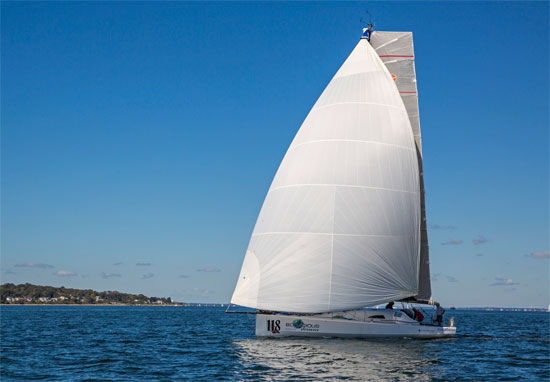
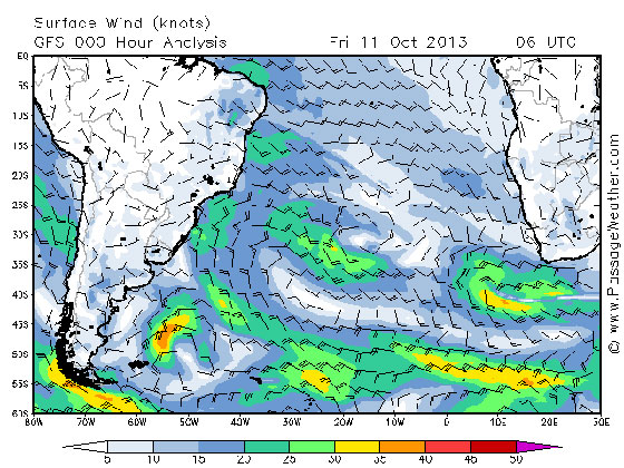
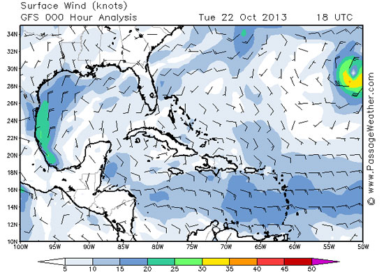
 It’s been a tough few days out here. We reached the trade winds on Saturday evening, at about the time we expected to. So while we are now in steady winds, all the finagling we did with those sparse winds east of Bermuda cost us extra time and fuel. The idea was to get a better angle on the trade winds, so we could sail them to our waypoint at the beginning of the doldrums. That wasn’t bad as far as ideas go. The reality however is a little wetter – LOTS of wave action, lots of pounding and lots of spray … everywhere. Fortunately, it’s all warm air and warm water, but still a challenge in that it makes sailing and life onboard more difficult.
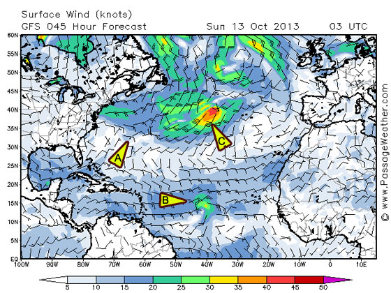
With winds gusting up to 30 knots, squalls through the night and morning, waves coming at us from three directions, it’s a constant game of adjustment to keep Bodacious Dream sailing forward in the direction we want to go. Needless to say, it also increases the difficulty of typing these updates.
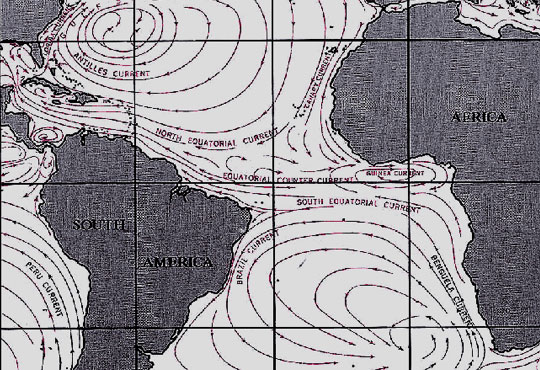
For those of you who were following us last year, these are the same trade winds I sailed through coming back from Portugal. However, last year, I was sailing WITH them instead of ACROSS them, so the sailing was a lot smoother.
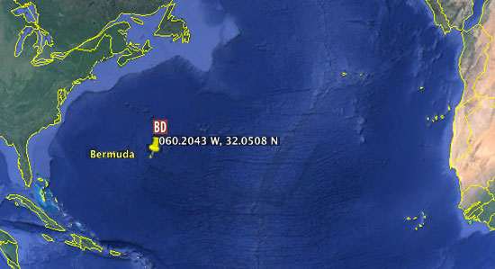
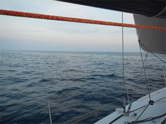
As I have no photos of current conditions, try this one … Ahh! 50.4951W, 28.6556N
The current situation wouldn’t be so bad if the wave sets were more consistent. There are three different angles to the waves, one driven by the force of the trade winds, and the other two created by squall wind shifts and an erratic low-pressure system. On the main wave, we slide along as if we were parallel to it – which isn’t so bad, and if that were all that was happening, we’d be looking good. The second set though comes in threes and at irregular intervals. Also, it’s more directly face on to us, so it throws the bow straight up and then in the trough behind the wave; the bow comes crashing down … with a ridiculously huge boom! This happens about three times in a row, before Bo can get back to sailing again – and at anytime during the sequence, the third wave can show up (pretty much out of nowhere) and throw a frothing gusher of water into the cockpit along with a head-banging slap upside the boat.
So picture this … I’m dressed in my foul weather gear, looking like the guy on the box of frozen fish sticks, trying to squeeze out a short nap on the deck, when I feel the boat lurch upward and I know the next movement it’s coming straight back down and landing with a big BOOM! And right when that’s over with, and I’m sitting back, ready to nod off again, a new wave comes pouring over me! This process repeats about 10 times a night and about 5 or 6 times in the morning. Fortunately, the afternoons and generally after midnight, things settle down and the skies clear up some. Maybe the sea needs to get some rest as well -though I know that’s wishful thinking.
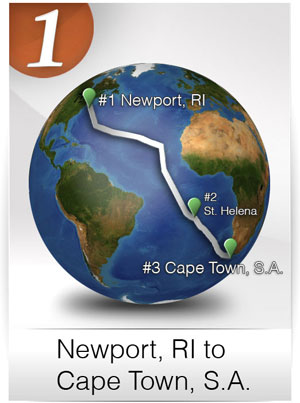
It’s all good fun really … nothing that we didn’t sign up for … though to be honest, I’d be fine if these conditions were to change. As it turned out, today the wind speeds slowed for a good length of time. Projections are for them to come back into the low 20’s for the remainder of the 750 miles to the waypoint, which means that hopefully I can arrive there by Sunday or Monday. From there on, the strategy changes for entering the doldrums and the South Atlantic.
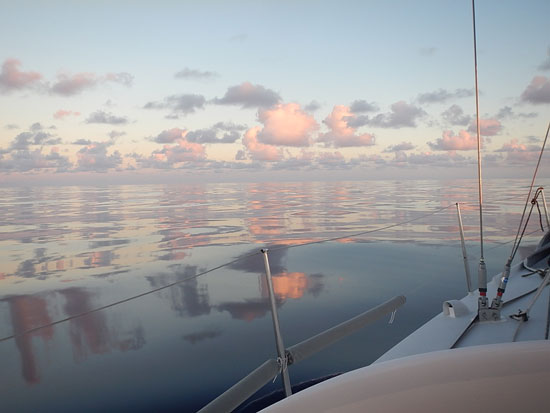
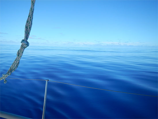
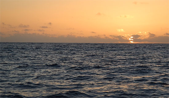
 Just a memory to me now … but a sweet one … 50.4136W, 28.4363N
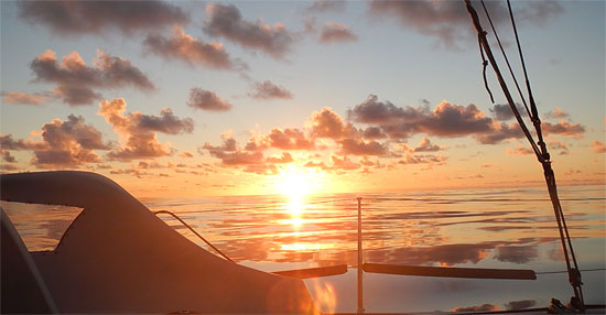
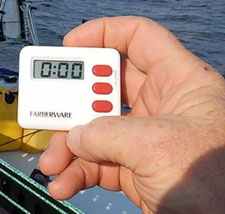
So, life onboard has been limited to eating what I can, resting when I can and keeping track of things and navigation … oh, and waiting out the clock. Back home, I can never slow the clock down enough to get through my lists. Out here, I can hardly get the minutes to pass! Time is such an elastic dimension. Soon it will be sunset, and we’ll head into another dark night, as the moon is down to just a sliver now and doesn’t come up until just before sunrise. With a gentler night of winds, perhaps the sleeping will be easier with fewer of Neptune’s rude poundings.
Extended situations like the one I’m describing here put your body to the test … and force you to manage it with some caution and care. There are three things I need to keep aware of … 1) hydration, 2) nutrition and 3) fatigue. Each of those factors takes a conscious effort to govern, especially in more demanding conditions such as these.
First off, I have to keep a steady flow of water in me. Even though it doesn’t seem like I sweat it out or eliminate it, I am. So, constant note to self … “Drink more water!”
 By dinnertime tonight, I was feeling tired and pretty uninterested in food. If I was that tired back home, I’d have just gone to bed and had a big breakfast when I got up, but out here, I knew I needed to put some calories into my body in order to stay warm at night and to have the energy I might need if in the middle of the night, something happened that required my going into overdrive. Believe me, boiling water to make lasagna isn’t so easy in a rolling and pitching kitchen. So, while it would have been easier to just forget about it, I pushed through – at which point, the seas calmed for a time, allowing me to have a nice meal under the stars. Ahhh!
Now the third factor, sleep, is something that simply amazes me. I often wonder why and how it works the way it does. When I am busy or stimulated by something, I rarely can sleep. With all the sounds the boat is making lately and with all the motion of the sea, I am having a hard time sleeping, even though I know I am fully tired. Still, I have to keep trying, even if only to lay my head down and rest. Eventually, my body decides that the stimulation isn’t as important as sleep is … and I nod off.
In my 15-20 minute nap intervals, I often have great dreams, and I regularly come back to the same one once I’ve been up and checked things out and gone back for another nap. I guess dreams are like an old well pump; once you prime it, it keeps pumping out a steady stream. Once I get into a sleep groove, I can keep returning to the naps for quite some time. But once I stop, I have to go through the whole start-up process all over again. It’s pretty fascinating this play between the conscious and unconscious mind and between the physical world without and the one within. I know there are a lot of brilliant people who study and write about sleep, and could probably explain it all to me, but for now I will have to trust my own internal sleep scientist.
Well, that’s it for now. I’ll send more as the weather allows.
Until then, we remain … soggy and sailing,
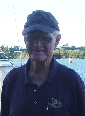
- Dave and Bodacious Dream
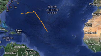
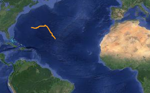
41.67044W, 15.54240N
Our Spot Adventure Page
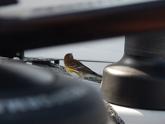

 “I’m happy to report that Dave’s bird sighting has been