Tegan’s Science Notes #5 – Penguins in Africa?

With Bodacious Dream back in the water in Wellington, a quick update from Dave followed below by an earlier but previously unpublished “science note” on African penguins from our ocean scientist colleague, Tegan Mortimer. 

Dave Rearick
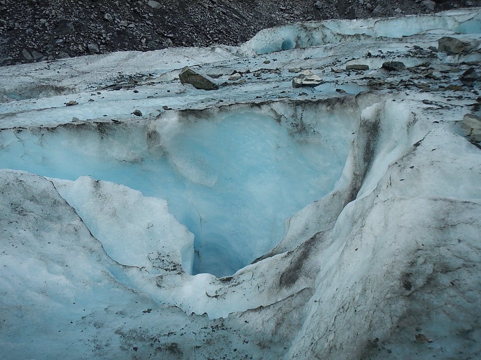
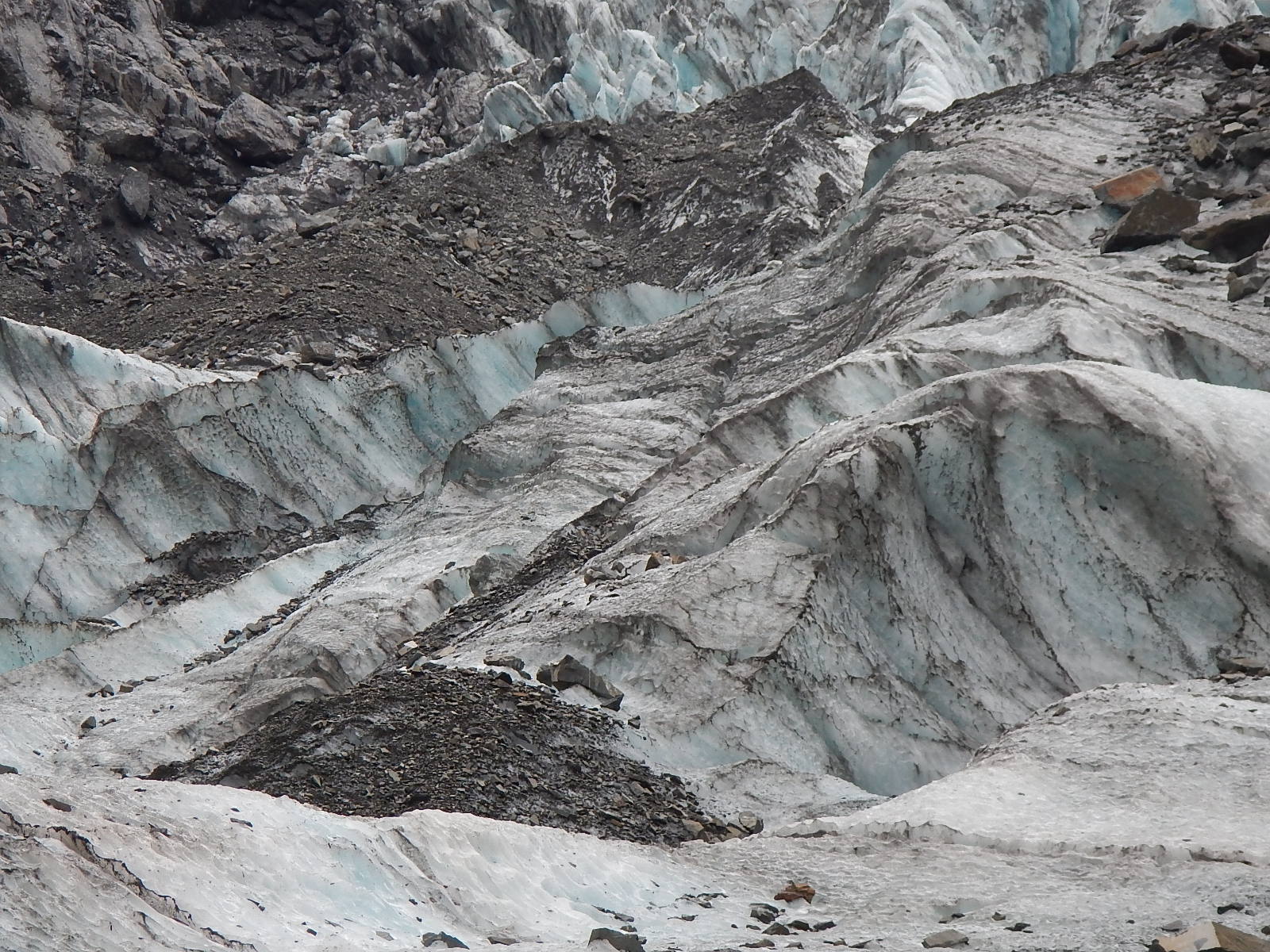
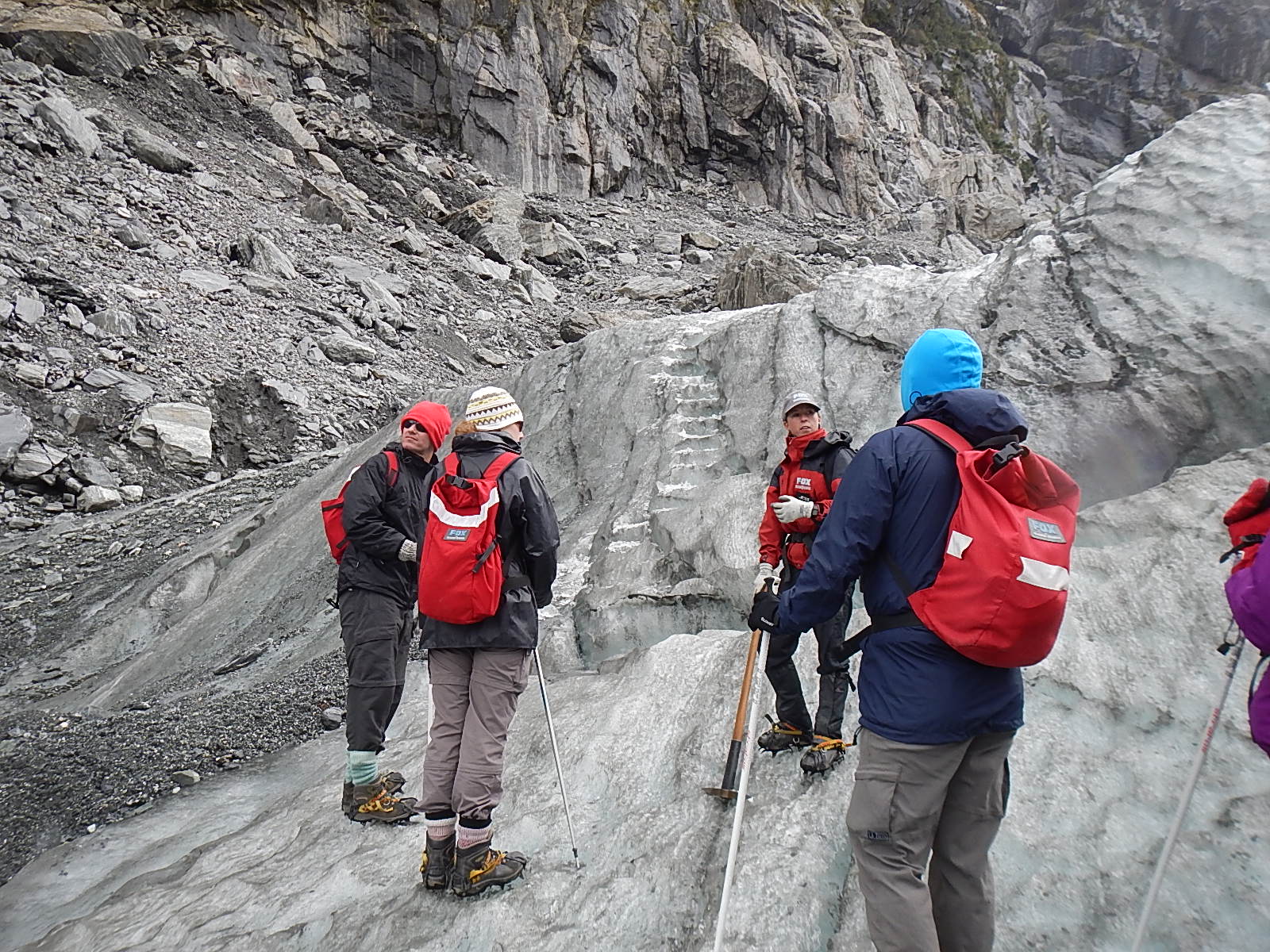
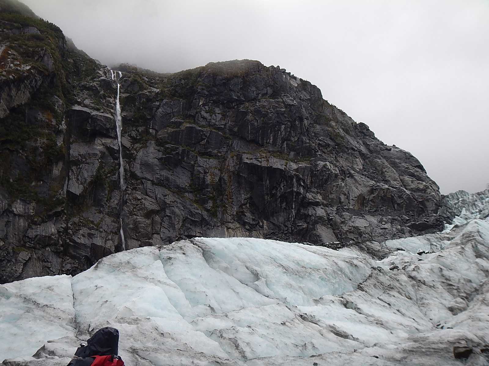
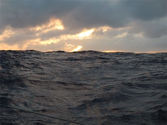
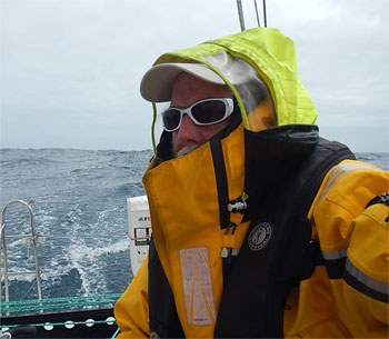
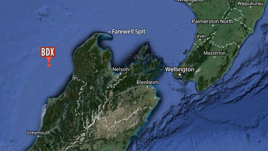
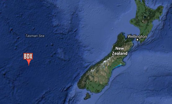
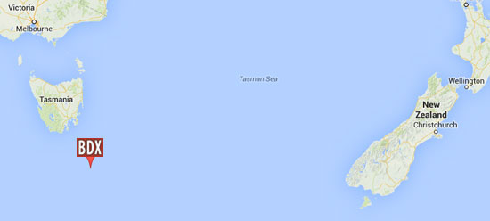
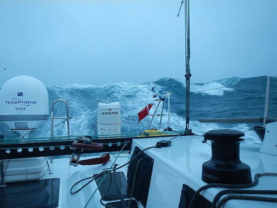
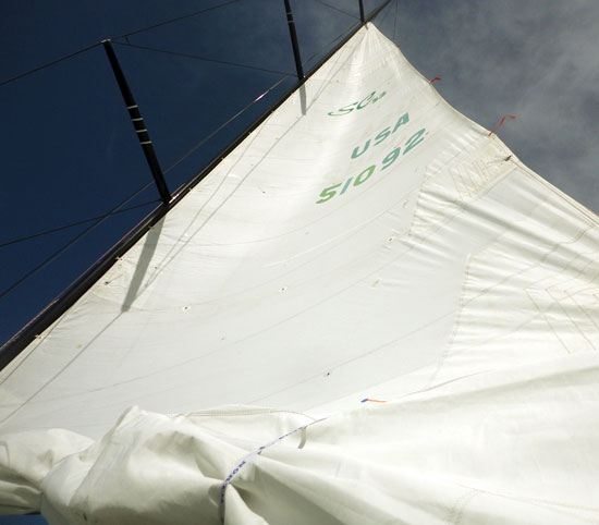
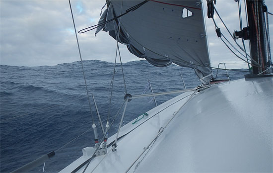
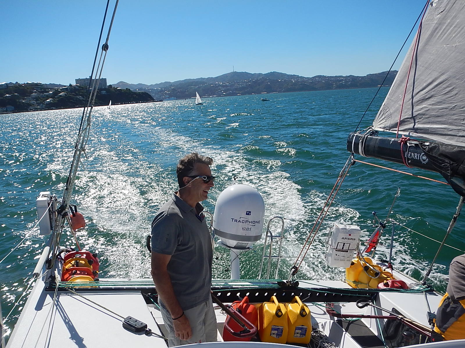
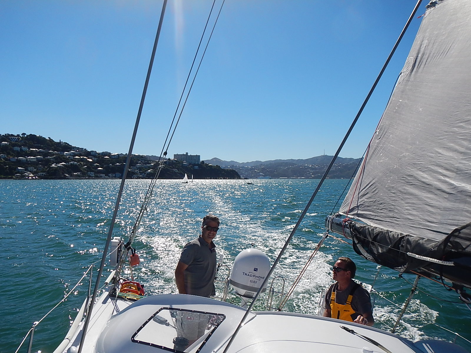
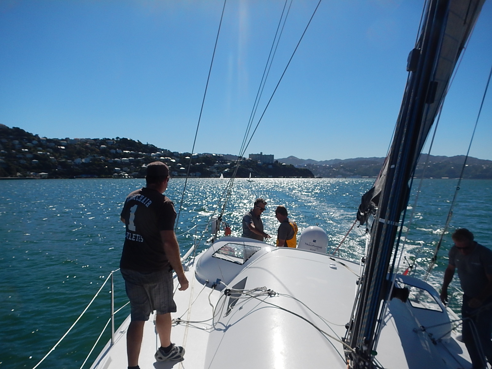
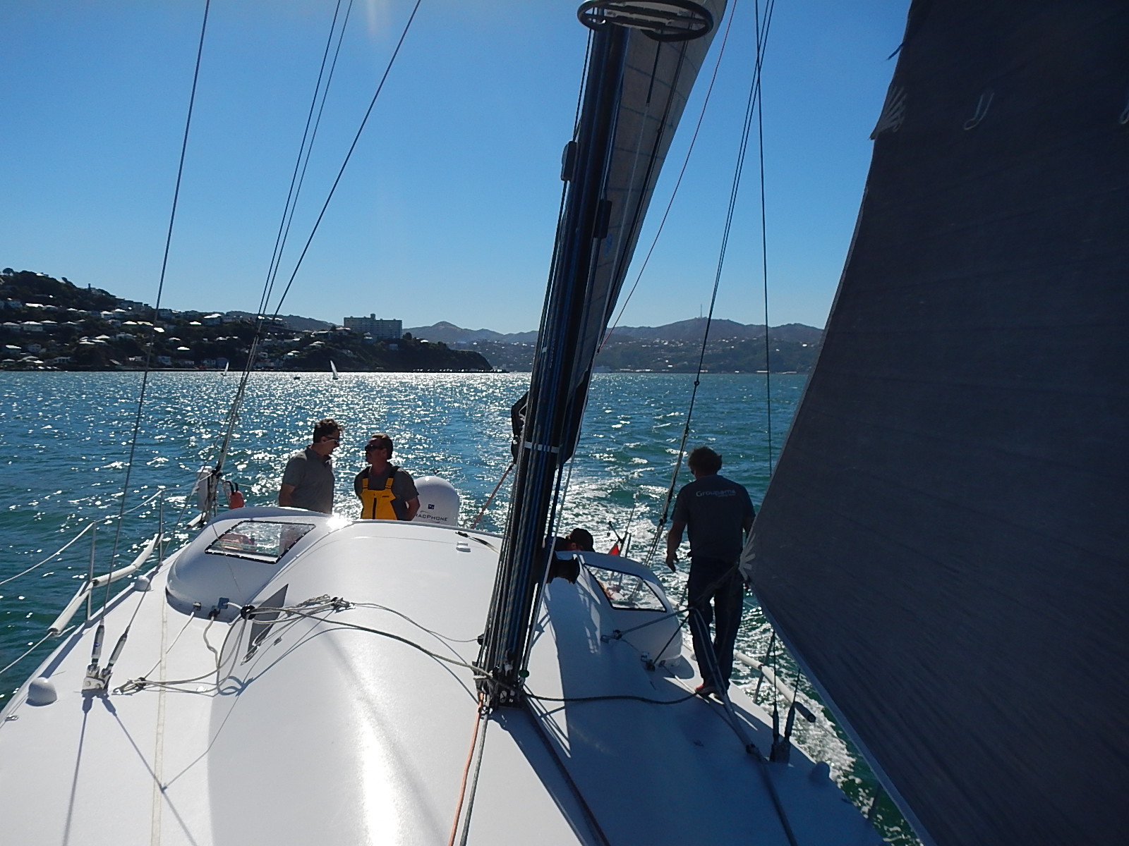
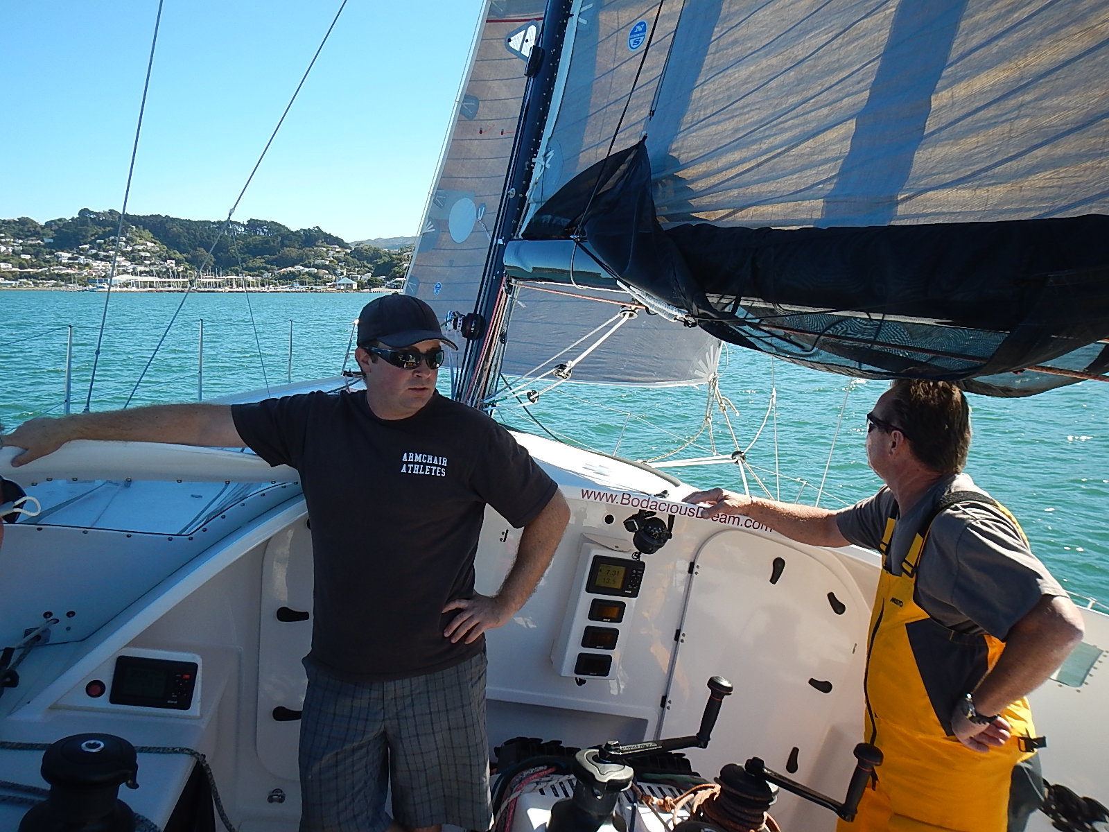
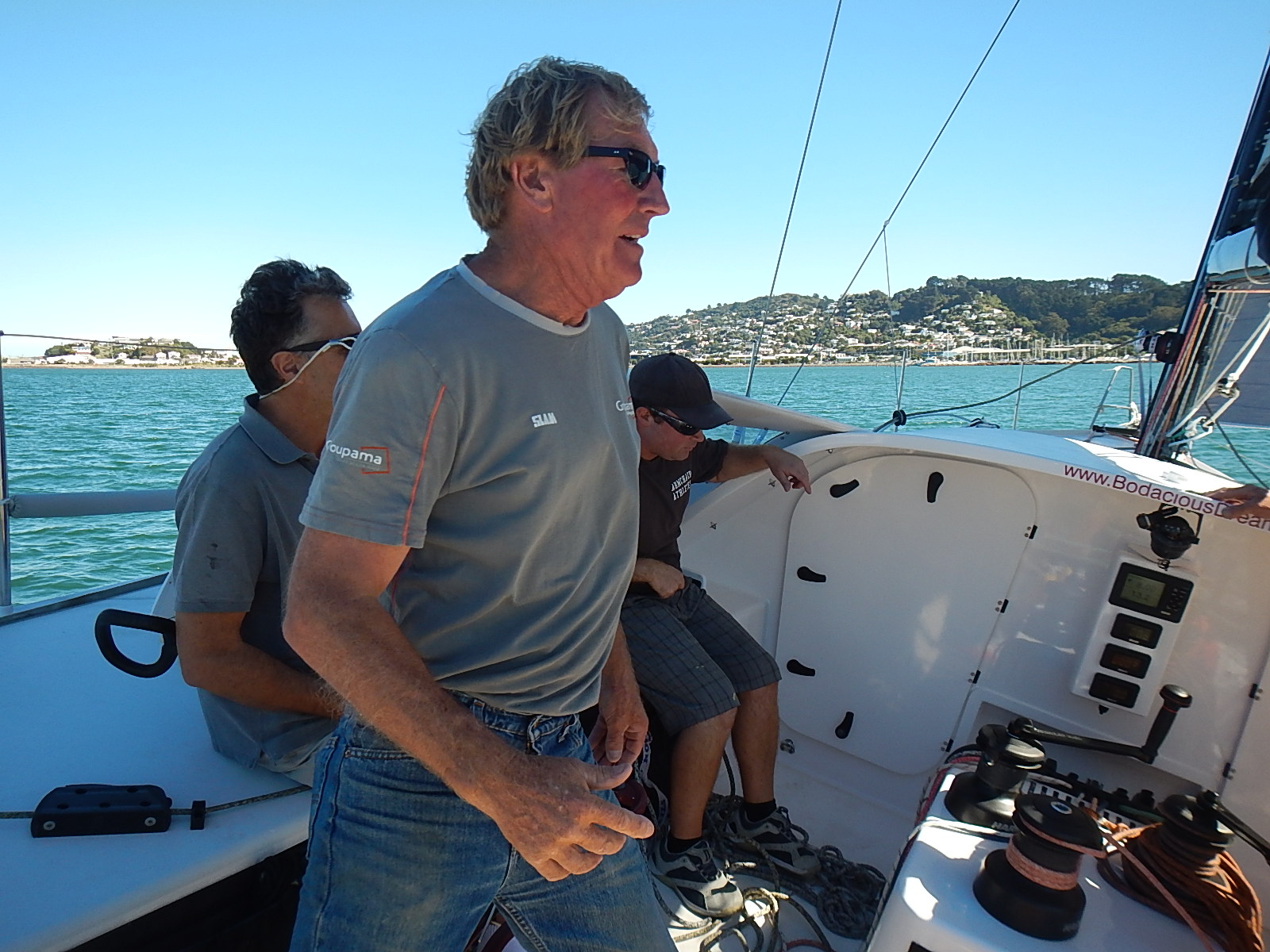
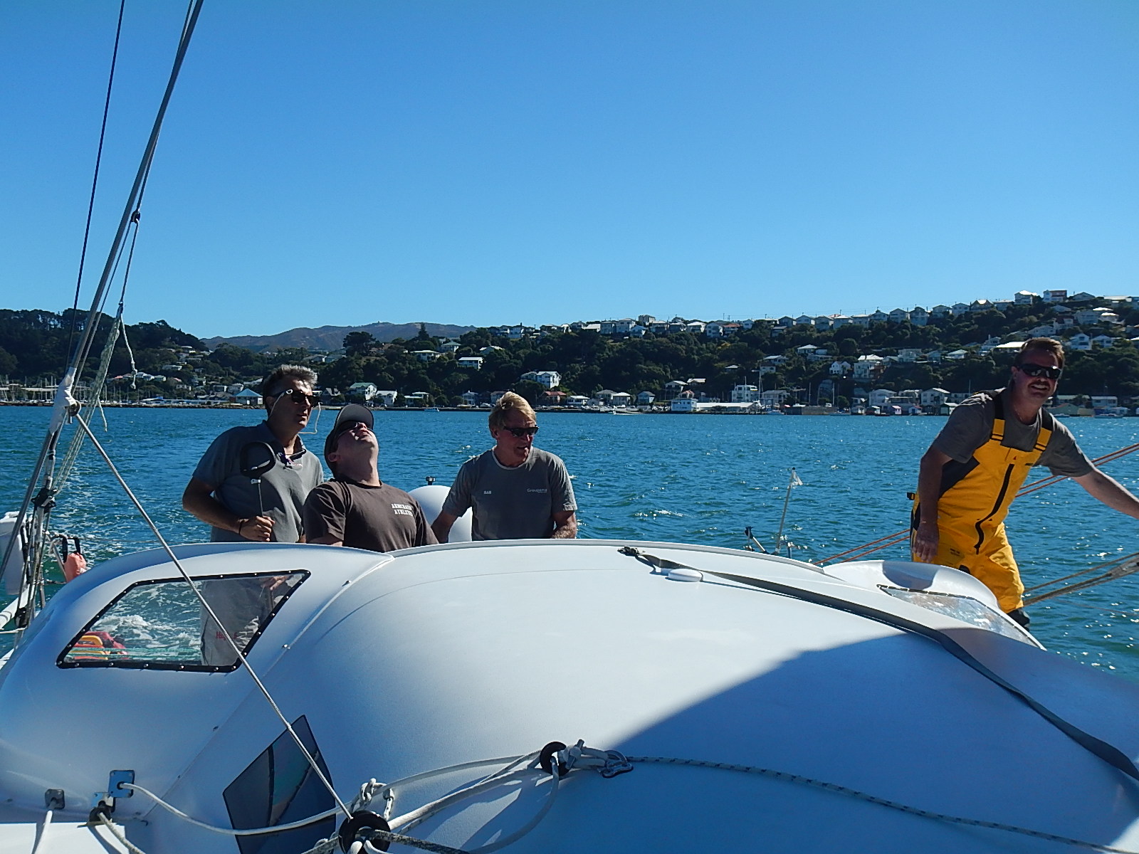
Dave Rearick: Wellington, NZ has a worldwide reputation for windy weather. For the past few days though, it has instead offered up absolutely gorgeous days of clear and sunny skies with winds at less than 15 knots. This has made for perfect conditions to test sail Bodacious Dream after the recent work and refit she just underwent. So far, everything is coming together just fine. Our awesome crew has done a great job getting Bo into shape for Leg 3! (See some pics below in slideshow format.)

Today, we’ll begin the sorting and packing of the boat as forecasts are for wet and windy weather to return this weekend. Our hope after that front passes is to get the go-ahead weather window that we need to depart early next week!

Test sailing … Click the arrows to advance, and scroll over to read the captions.

While we get ready for all that and I head off to do some major provisioning, we wanted to revisit some of Tegan Mortimer’s Science Notes, we didn’t have a chance to publish before now.

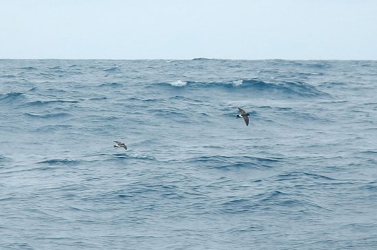
We are also readying a wonderfully informative science note on “Seabirds,” which includes a list of all the seabird sightings we’ve identified so far on the voyage. But before we do that, we want to focus in on one particular seabird that holds a special interest for people all over the world – and that’s penguins!

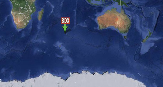
During our post-Leg 1 Cape Town stopover in December, we were treated to the unique experience of visiting a large colony of African penguins that reside near the Cape of Good Hope (the southernmost tip of Africa.) While the overall distance from there to Antarctica is pretty substantial, it is still within the habitat range for penguins, for reasons that Tegan will explain in her excellent report. And I’ll be back soon with more.

– Dave

Tegan MortimerTegan Science Notes #5 – Penguins in Africa?

When Dave and Bodacious Dream reached Cape Town and the end of Leg 1 of his circumnavigation at the beginning of the year, he took time to explore some of the many diverse natural wonders of that region.

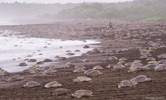
One of his first trips was to see the penguins. Yes, you heard that right, penguins in Africa! The African penguin is only found along the west coast of South Africa and Namibia, though it is also one of the most common species kept by zoos and aquariums.
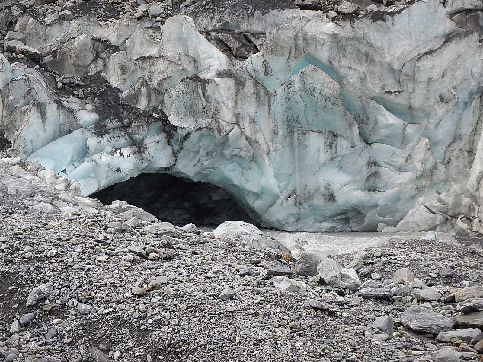
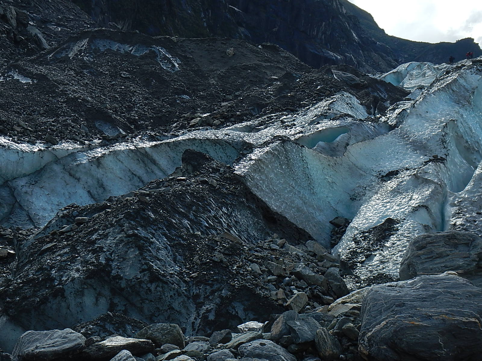
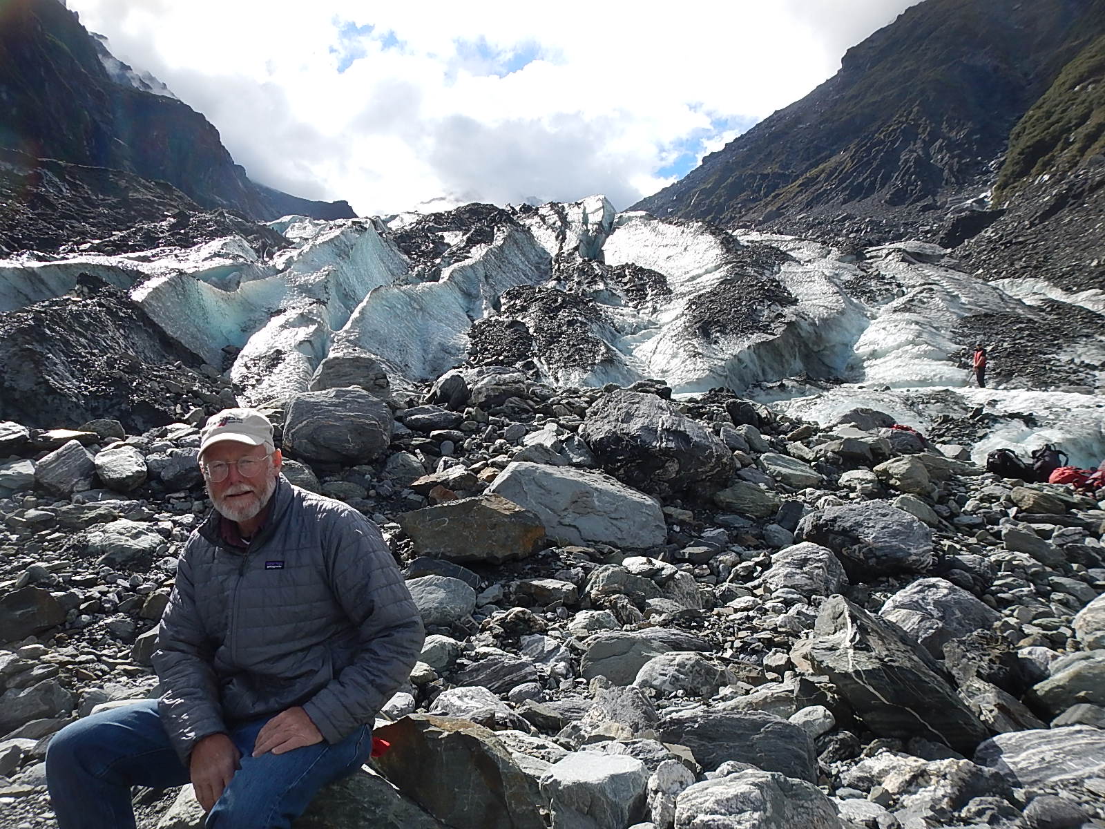
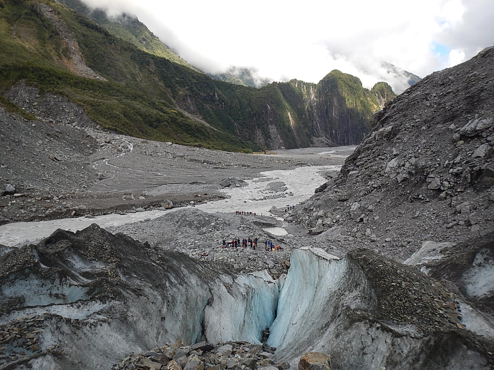
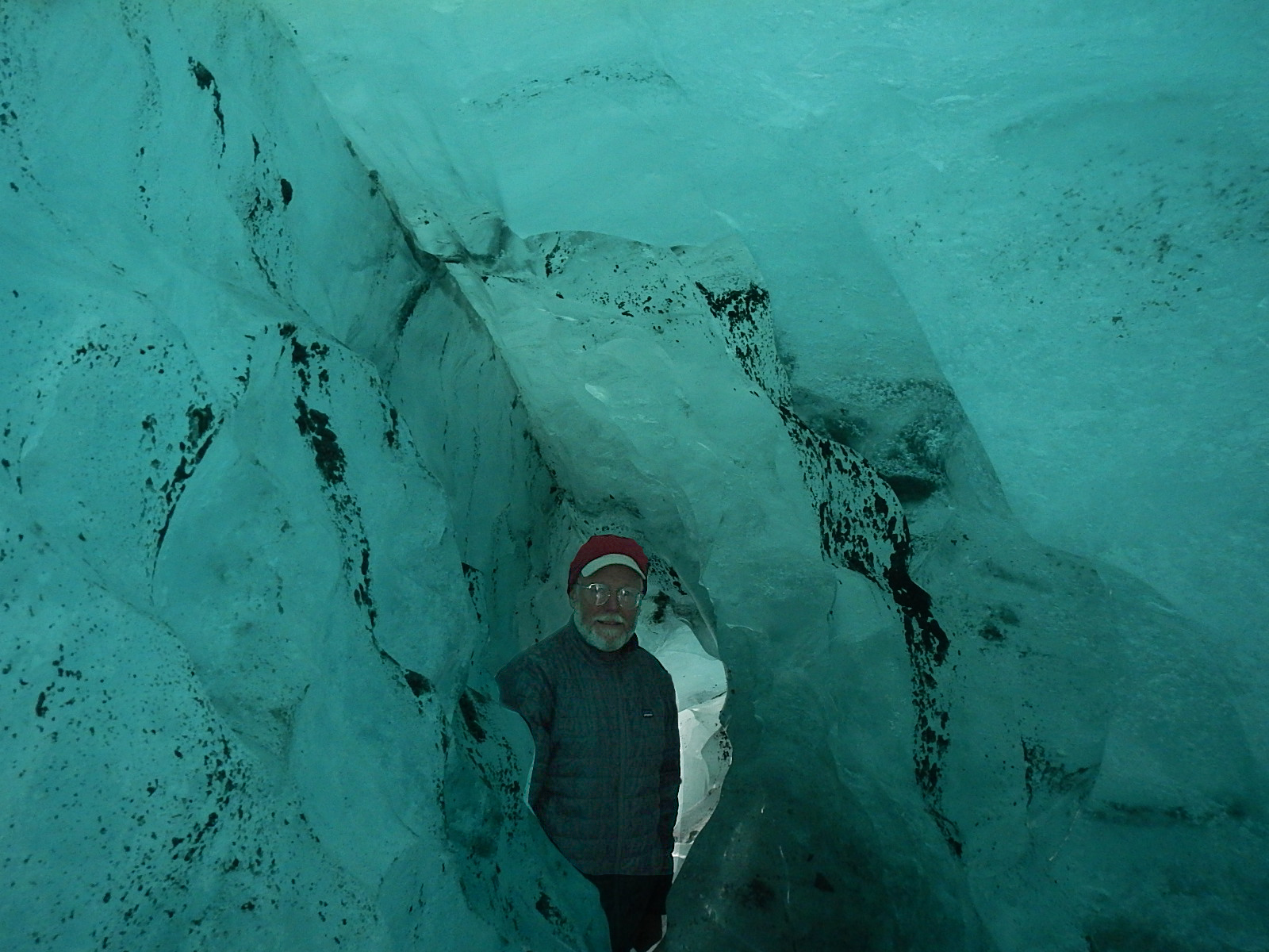
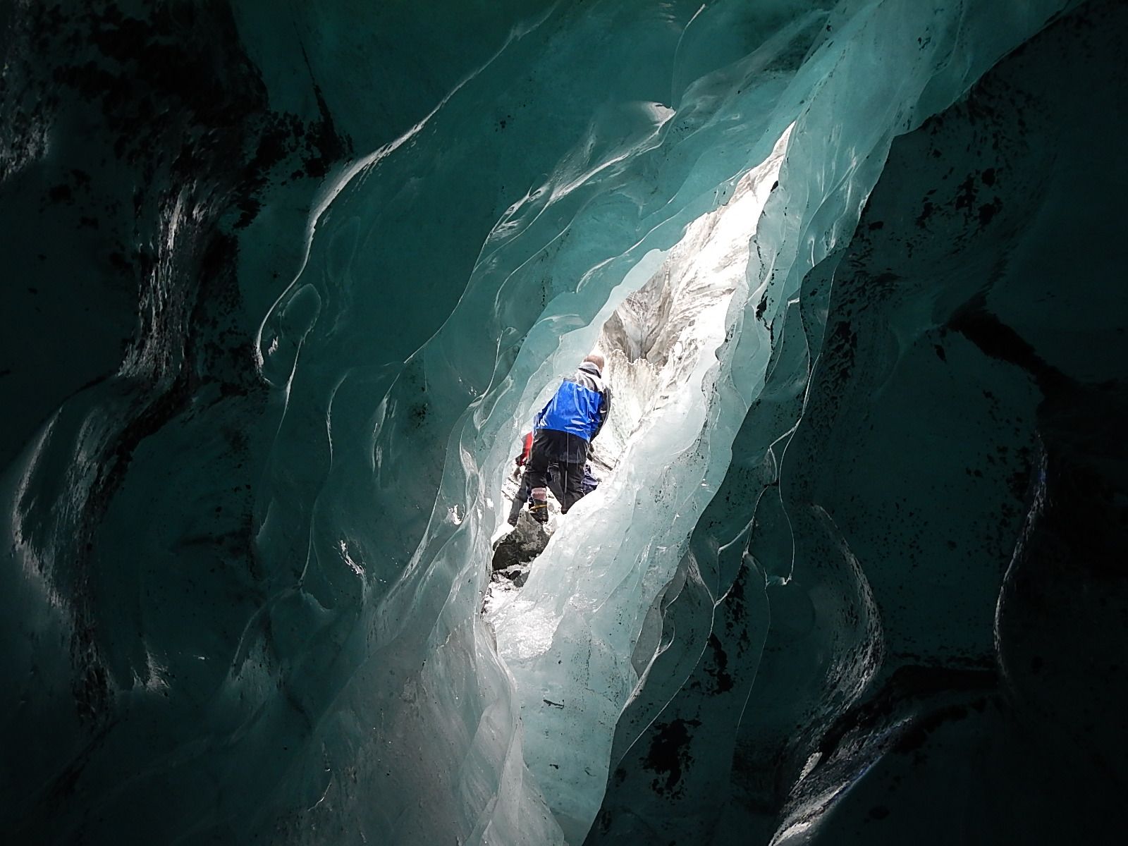
penguins_dave_550Dave’s Photo  …

We usually think of penguins as only occurring in the snow and ice of Antarctica, but there are actually quite a few species that live in more temperate habitats along the coasts of South America, Australia, New Zealand and of course Africa. All species of penguins are native to the Southern Hemisphere, so you would never find penguins interacting with Northern Hemisphere species like polar bears and walruses.

penguins_benguela_550
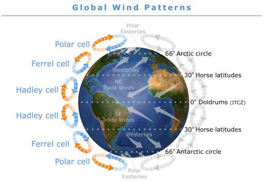
The areas in which penguins are found do have something in common though: cooler water. When we look at charts of surface water temperatures around South Africa, we see that there is colder water around the western coast of South Africa and Namibia, in exactly the area that African penguins are found. This is called the Benguela Current. This current carries cold water northwards and creates an upwelling zone near the coast. The South East trade winds then push the surface waters away from the coast which draws the deep cooler water up to the surface.

Cold water carries more oxygen and nutrients in it because it’s denser than warm water. When phytoplankton undergo photosynthesis, they use up nutrients and oxygen from the surface water; unless this surface water is replenished then photosynthesis will stop due to a lack of oxygen and nutrients. This is why upwelling is so important; it continually brings new oxygen and nutrient-rich waters to the surface. High levels of plankton support rich ecosystems of small schooling fish, krill and squid that then help sustain larger predators such as whales, sharks, and sea birds.

penguins_map_550

African penguins feed on small schooling fish, particularly sardines and anchovies which are supported in huge numbers by the Benguela Current ecosystem. Sardines and anchovies are some of the most important commercial fish species and are caught in large numbers throughout the world. In South Africa, penguins compete with fishermen for these precious fish.

Unfortunately African penguins are considered to be endangered. Their population has declined by about 60% in the last 30 years, which is a very rapid rate. It is thought that a lack of food is the major cause of the decline. This lack of fish is due to both the huge numbers that fishermen remove, as well as environmental fluctuations in fish numbers and distribution.

Earthwatch scientists are active in studying the nesting colonies present on Robben Island; trying to understand their rapid decline and formulate strategies, which will increase their chance of survival. One success so far seems to be the addition of artificial nesting boxes to the colony. These birds typically nest in burrows, but many of their nesting sites have had the naturally thick layer of guano removed for use as commercial fertilizer leaving nothing for the penguins to burrow into. Penguins now seem to actually prefer the nesting boxes, which allow them to be more successful at rearing chicks than if they were in a burrow or out in the open.

penguins_arkive_550

It is very easy in this instance to blame fishermen for catching too many fish, which reduces what is left behind for the penguins. It is true that many fishing practices are very destructive, both to fish populations and to the marine ecosystem, but it is also important to remember that the ocean is an ever-changing eco-system. If the lowest levels of the marine food chain (plankton and small school fish) change, we see changes in the higher levels too. Climate change is driving these changes, just as we humans are driving climate change. Everybody has the ability to make a difference by way of the choices we make every day. We all can help to save the African Penguin.

To close things off, here’s a cute internet video that shows the ups and downs of being a penguin.

– Tegan

:: Tegan Mortimer is a scientist with Earthwatch Institute. For more exciting science insights, check out our BDX Explorer Guides or stop by our Citizen Science Resources page, where you can also find all of Tegan’s previous “Science Notes.” We welcome your input or participation on our BDX Learning Discovery efforts. You can always reach us here or @ <oceanexplorer@bodaciousdreamexpeditions.com>

Fox Glacier Excursion

The South Island of New Zealand generously provided a number of amazing experiences over the week I toured it recently, but the one experience that stood out for me was a visit to the Fox Glacier, located near the coast in the Westland Tai Poutini Park near the small town of Fox Glacier.

Fox GlacierFox Glacier in New Zealand’s Westland National Park

We’ve all heard news reports that drum into us how the glaciers of the world are melting away, and what significance this might have. Getting the chance to see a glacier firsthand and up close made clear the pressing reality behind those reports. As you may know, I am a student of the world at large and especially of the natural wonders of the ocean, but nothing in my many wanderings prepared me for the transcendent beauty and force of a glacier.

DSCN2321A sample of the visions to be found. See slideshows below for much more.

The Fox Glacier moves down from a bowl area that sits higher up in the mountains where the snows collect and remain year-round. These snows pile up and compress under the weight of many years of previous snows, which turn into this massive river of ice that works its way down through the rocky passes and towards the ocean. In the case of the Fox Glacier, its terminal face, curiously enough, ends in a rainforest on the coast of the South Island.

crampons_300Upon arriving at Fox Glacier Guiding, we were fitted with boots, crampons (spikey boot attachments for walking on ice), special waterproof coats and pants, gloves and hats, after which we got special instructions and training from our guides. Once ready, the 20 of us boarded a bus for the three-mile drive to the parking area at the base of the glacier.
As we began our hike to the glacier, our guide Jess explained that the barren rock on the walls of the river canyon gave clear indications of where the glacier was as recently as 2008. Just five years ago, the ice was significantly higher up the walls of the canyon – (over 125 feet) and it reached a good deal further down towards the ocean. Maybe “significant” isn’t a powerful enough word … perhaps the photos can tell a better tale.

#1 – Click arrows to advance! Scroll over to read descriptions.

We hiked up to the terminal face and then up into the glacier itself, where for the rest of the afternoon, Jess took us past enormous holes where melting water runoff was eating away at the glacier. We hiked past caves and crevasses, up into ice canyons and through ice tunnels, all of such pristine beauty and stillness that it was hard to keep in mind the stark reality that this glacier was melting away at an alarming rate.

 #2 – Click arrows to advance! Scroll over to read descriptions.

As we came down from our last ascent, we looked across about 30% of the glacier that was too dangerous to traverse. Jess explained to us that this area was being eaten away by the river, and the unseen melt below was causing a collapse inward. From where we stood, we could see the unstable cave from which icy water rushed out. Jess further explained that by the end of this season, the entire area might well wash away and that within a couple of years, the entire terminal face of the glacier might be too unstable to access by foot.

 #3 – Click arrows to advance! Scroll over to read descriptions.

These monumental forces of nature, not unlike the ocean, do indeed work away at a glacial pace – one drop of water at a time, one blade of grass at a time, one gust of wind at a time, one wave at a time, and as they do, they slowly alter the face of the planet.

Here are some amazing facts I learned about the Fox Glacier:

· There are over 3000 glaciers in New Zealand!
· The Fox Glacier is one of the few in the world that ends in a rainforest before emptying into the ocean.
· The glacier is over 1000 feet thick (300 m) at its deepest point
· The glacier flows at the rate of 600 feet (183 m) per year
· The thickness of the ice near the terminal face is up to 100 feet (30 m) thick
· The river is about 80% melt off from the glacier.
· Measurement of the amount of change in ice thickness is done by placing long pieces of pipe called ablation poles, vertically into the glacier. They start level with the ice surface and gradually become exposed as the glacier melts. At the time we were there, one meter of pipe was showing, indicating about two weeks’ worth of change (melt).
· Estimates are that in about two years’ time, the glacier’s terminal face will no longer be accessible by foot.
· Half the glacier is contained in the upper “bowl” area where the snow collects and compresses into ice.
· The other half is called the “tongue,” which is the mass that flows down to the river area.
· The fissures and crevasses happen perpendicular to the compression stress of the glacier; closing and opening as the great masses of ice move and shift daily.

I feel humble and fortunate to have had the chance to experience these things firsthand and to share them with you. Rather than continue at this point with more words, how about we leave you review the photos of this amazing place in the three slideshows …  or view them as an album on our BDX Facebook Page – and check out this video below that shows that slow moving boulder … more videos to come soon here … and on our BDX YouTube Channel.

And also very soon too, we will have ready for you a new Explorer Guide on the Fox Glacier, so that you can read and learn more about this world landmark.

Big Thanks,

– Dave

P.S. Here are a few Wikipedia links … to Fox Glacier, located near the coast in the Westland Tai Poutini Park near the small town of Fox Glacier.

A Storm of Bodacious Videos

While maintenance and repair work continues on Bodacious Dream here in Wellington, I’ve found some time to review the many hours of Leg 2 video and photos I took on the voyage here from Cape Town, S.A.

big_wave_550
It’s a Very Wavy World Out There – 42.568808S, 120.320942E

As you may recall, during that 7000-mile leg, we encountered quite a few tenacious storms – or what the weather people call “strong frontal passages.” I compiled some video clips from some of the storms into two briefer and more watchable pieces. I did some simple edits on them … which is all I can manage at the moment. Maybe soon, we can do a cool edit, but even without a thrilling musical soundtrack, you should still be able to get a feel for what it’s like out there on the open ocean when the winds and seas are “up.”


At the same time you are experiencing loneliness and fatigue, you are also carried along by something both energizing and mesmerizing.

To remind you, these cold fronts blew up from the South (Antarctic) and progressed westward providing us with westerly winds that pushed us towards New Zealand. They generally announce themselves by a couple days of northwest wind, which then builds into the 30-knot range as the front passes through, after which the winds switch over to the southwest before gradually fading out.

Dave_Foulies_350One particularly interesting storm I wrote about previously, involved a spin-off of a low-pressure system from a cyclone, which teamed up with a passing cold front to amp up the winds and make our sailing a couple levels more extreme. While the strongest part of this front/low passed rather quickly over a 24-hour period, it was a week-long event of sailing as fast and as far east as we could to get in front of its path, so it could push us along instead of smacking us in the face. In the end, we did make it east of the storm, but just barely. During the height of the storm, we were clocking winds around 50 knots – and you’ll see in one of the video clips, the TWS (True Wind Speed) reading on the instrument panel showed gusts to 40 knots!


No matter how senseless and arrogant we humans are about using up the ocean’s resources and wasting its precious beauty, it’s hard not to think that it is the ocean that will have the final word.

While all of this seems a bit edgy to the uninitiated, rest assured that Bodacious Dream is designed and built to handle these conditions, and in fact, is much more adept at it than I am! It’s specialized and custom-built for such tasks, whereas we humans are generalists who must keep adapting by learning new tricks. At the same time that the tempest tosses you around like a toy, you can’t help but succumb to the storm’s seductive beauty. To be in the center of such oceanic intensity, all the while knowing that there is so much more potential scale and force there yet to be unleashed, is humbling to say the least.

Coming up next, in a few days, will be some video that shows another side of Earth’s majestic powers. I’m talking about the glaciers of South Island, New Zealand. Stay tuned for that, as I think my visit to the glaciers was one of the most awe-inspiring experiences of my life.

Hope you enjoy the videos. I have a lot more footage and will try to compile them into more videos for those of you that have the time to watch.

Thanks and more soon….

– Dave

P.S. As a bonus for those of you who consider yourselves “veterans” of the sea, I have included another video of around 6 minutes in length that is mostly me talking through a week of strategic adjustments that I had to make in order to deal with the storm.


A sailor’s way of thinking about storms

The Mystery at Farewell Spit

A quick update from Dave followed below by a very interesting new science note from Tegan Mortimer on recent mass pilot whale strandings exactly where Dave will very shortly be passing.

Dave RearickDave Rearick: We’re in sight of land now and heading up the west coast of New Zealand here. The cold front that we hoped would push us up to Farewell Spit at the northern tip of the South Island and down into Cook’s Strait dissipated and left us fighting through wind right on our nose. It was an unusual weather pattern that made for very rough seas with lots of pounding waves. I kept trying to work my way towards shore to grab the best angle north against the wind – but it was a slog with very little progress to show for a lot of effort. As my weather guy commented … It’s kind of like sailing up Lake Michigan in the Mackinac Race, getting to the bridge, and losing wind. You can see the finish; you just can’t get there!

41.1179S, 171.47621E

Yesterday, I began to grow concerned about having enough fuel to carry me through the notoriously unpredictable winds of Cook’s Strait. I got on the radio to see about landing somewhere along the rugged and dangerous coast, when a commercial fishing boat named “Ocean Odyssey” picked up my radio signal and offered to help. Eventually, we got our boats close enough together, that I was able to tie my gas cans to a line and drop them over the side, where they picked them up and refilled them for me.

The whole operation took us about two hours, but now I am better set for Cook’s Strait, with 50 gallons of fuel intend of 5. The skipper Barry even suggested that I come onboard the Odyssey for a shower and a hot meal … but I begged off, preferring to stay crusty with a belly full of freeze-dried filler. Today is all stormy and bouncy and so I have to stay focused.  Oh well, onward we go! Looks like another great update right here from our Earthwatch scientist Tegan Mortimer  – and on a very important topic, so be sure to check it out! Be back soon with more!

Farewell_mystery_550

Tegan MortimerTegan Science Notes #4 – Whale Strandings

At the very northwest corner of New Zealand’s South Island, Dave and Bodacious Dream will round a sandy spit which stretches 16 miles out into the ocean like a great arm creating the northern shore of Golden Bay. This is Farewell Spit and it is the longest sandspit in New Zealand. Sandspits form when currents called “longshore drifts” move and deposit sediment laterally along the coastline. In the case of Farewell Spit, currents and strong winds carry eroded sediments down from the Southern Alps, the mountain range that stretches the length of the South Island. As the spit builds, it shelters the leeward  (or inward) side where additional sediment then builds up allowing mudflats to form.

farewell_mudflat_300At low tide over 30 square miles of mudflats are exposed at Farewell Spit which is an important feeding habitat for shore wildlife. Recently through the month of January, it was the site of a massive effort to rescue a pod of around 70 pilot whales which had beached themselves several times in a mass stranding event. Mass strandings of whales are a complex and still little understood behavior, which most unfortunately can be deadly for the whales. Why did it happen here?

What’s a pilot whale?

The pilot whales are actually two different species, there is the short-finned pilot whale and the long-finned pilot whale. The two species look almost identical and it is very difficult, especially where the two species’ ranges overlap in habitat, to tell them apart. Both varieties of pilot whales are toothed whales which usually frequent deep water habitats such as the edge of the continental shelf and along deep water canyons where they feed on fish and squid. Tagged whales have been known to dive to depths as much as 2,000 feet! They are highly social animals and live in pods of around 10-50 animals though groups can be of more than 100 animals. Pods keep in contact with each other through complex whistles and other vocalizations which are believed to be unique to individual pods. Animals will instinctively follow the calls of key animals such as mature older females which act as pod leaders or to the distress calls of young whales. This behavior makes pilots whales particularly susceptible to mass stranding.

Pilot Whales
Pilot Whales

Why do whales strand?

Around the same time that pilot whales where stranding on Farewell Spit, there was also pilot whales stranding in the Florida Everglades. Pilot whales together with other social and toothed whales like dolphins, killer whales, and sperm whales are the most common whales to become stranded. You might remember me talking about sea turtles stranding in my last Science Note when the turtles get washed on shore after becoming stunned by the cold water. Toothed whales seem to actively beach themselves, swimming into shallow water where they get stuck as the tide recedes. The tight social bonds between animals in a pod mean if just a few do this, then it’s likely that whole pods will follow suit and strand together. Why this occurs is a mystery and there is probably no single answer that fully explains the behavior.

There are a few causes which are often pointed to when whales strand. Individual animals may beach themselves if they are sick or injured. Other healthy animals may strand if they are unwilling to leave an injured pod member. This seems like it might have been the case of the pilot whales that stranded in Florida, they were not in very good condition and necropsies (animal autopsies) of the animals that died showed that they had nearly empty stomachs.

whales_300x200In contrast to the Florida pods, the whales that stranded on Farewell Spit were in good condition and seemed healthy, so probably they stranded from other reasons. These whales may have gotten trapped in shallow water as the tide flowed out of Golden Bay. Farewell Spit forms a long hook which can be difficult to navigate out of, which is made worse by the quick drop in sea level when the tide recedes. The soft muddy bottom doesn’t reflect the whales’ echolocation, which means that the whales can’t “see” the bottom. Essentially they don’t realize they are in shallow water until it is too late. There is also evidence that noise disturbances from seismic testing and military sonar could also be a factor in mass strandings.

Unfortunately, stranding is fatal for whales. Out of the water, whales as quickly susceptible to dehydration and overheating. Whales are designed for a weightless world, which allows them to grow very heavy. Out of the water, all this weight presses on their vital organs and can cause death in and of itself. Unless they refloat on an incoming tide there is little chance for a whale to get back to deeper waters.

whales_stranded

Luckily there are well-developed stranding response networks in many places around the world which can hastily mobilize volunteers and experts to attempt to rescue stranded whales. New Zealand has one of the best rates of successfully rescuing stranded whales. However it is still a difficult task and many whales die naturally or have to be euthanized, and even whales which are successfully moved to deeper water will return to re-beach themselves a second time.

Here are two particularly good articles about the stranding in New Zealand.
:: http://www.nzherald.co.nz/nz/news/article.cfm?c_id=1&objectid=11189886
:: http://www.nzherald.co.nz/nz/news/article.cfm?c_id=1&objectid=11191661

:: Also, if you happen to know other scientists, educators or journalists who might be interested in contributing on our Learning & Discovery side, we’d love to make their acquaintance @ <oceanexplorer@bodaciousdreamexpeditions.com>

Some Key Links: Email List Sign-Up :: Explorer Guides :: BDX Facebook

The Great Circle Game

For some reason yet to be determined, Dave has lost his Iridium email service. He still has phone and text capability, and is checking in frequently to let us know all is well … but for now, no email, so updates will be brief or will (as we do below) include some older updates that never got posted.

The following update was received over the phone.

“Going along real nicely here on a course headed for the northwest corner of South Island of New Zealand (Farewell Point.) We’re averaging over 8 knots the last couple days and likely for another couple of days as well. We do have a cold front weather system coming in Tuesday night, which will bring strong winds Tuesday evening into Wednesday, which should give us the push we need to take us down Cook Strait towards the southwest corner of the North Island, and into Wellington Harbor.

Cape FarewellFarewell Point, Northenmost tip of South Island of New Zealand (web image)

The bioluminescence is still around, though not to the spectacular degree I described it in the last post. Looking south towards Antarctica tonight, I can see a glow in the sky; similar to the sort of glow that a city makes when you are on the water and over the horizon. As we know there’s no civilization south of us here, so I can only think it’s the glow of the sun reflecting off the polar ice cap.

Had a fun time last night calling into the awards dinner for my friends in the Great Lakes Singlehanded Society. I spoke a bit and answered some questions. Thanks for the invite!

I know my Midwest and East Coast friends are getting hit with some dramatic weather of late … I’ll just say it’s summer down here … 55-60 out on the water. Food is getting down to final tally time. There are plenty of calories onboard … but the fun items on the menu are gone.  I’ll make up for that, when I get to Wellington towards the end of the week. Over and out!”

43.9857S, 159.55377E

:: As mentioned above, here’s an update though from some weeks ago that never got posted. It’s a navigation-related update, and its contents are still relevant to the current leg of the voyage. Enjoy!

Sailing long passages puts you in the middle of constantly shifting set of time and distance problems. These little mathematical calculations are always running through sailor’s minds when they’re not otherwise occupied with shipboard duties. Recently, I had one of those days where I had a whole bunch of interesting problems come up relative to navigation and latitudes.

I was trying to step back and figure out just how far it is from Cape Town to Wellington, NZ. Now I have a GPS locator onboard and it can give me a distance, but it works on what’s called the “Great Circle” route, which calculates the shortest distance along the curved surface of the Earth. Our own strategy though for sailing to Wellington is to stay along a particular latitude – namely 40 degrees south. We do this to maintain the best route through the least stormy weather. But back to the questions raised by the Great Circle method, let me explain a bit and also give you an experiment you can do on your own when you have a chance.

mercator projection mapOver time, all of us spend a good deal of time looking at maps and charts of various places. These might show us our hometown, or a route to a someones’s house, or a map of the country or maybe the large world map on a classroom wall. Typically, these kinds of maps that we are so used to, are as a class called “Mercator Projections.” They represent the three-dimensional world as if it were laid out flat on a tabletop. The problem with this of course is that the world is not flat but rather beautifully round and by creating a world map that is flat and rectangular; you end up distorting the actual distances – particularly so, once you start considering areas closer to the polar ends of the earth.

Here’s an amusing video clip from an episode of the TV show West Wing that deals with how the Mercator projections distort the actual size of landmasses as they actually exist on the globe.

South Pole GlobeIf you can find a globe and look at it carefully, then turn it so that the South Pole is facing you. Now if you can find a string, a shoelace or even take a piece of paper and cut a thin strip from it, then put one end on Cape Town South Africa and the other over to Wellington, NZ, you’ll see that the shortest route goes over the Southern Ocean and over Antarctica. This is what we mean by the “Great Circle” route. If you in were a plane, you could fly that route, but in a boat, it’s not an option. There are a number of reasons why, some of which are obvious such as the continent of Antarctica and the impenetrable ice, but also, the further south you get, the colder the water and the more dangerous the weather. So, that’s why we chose the route along 40 degrees south latitude. So, to get that distance, you have to work your way along that latitude with a measure of some kind and figure out the distance.

Now, while you still have that globe out, let’s take a look at something else. I believe I told you a while ago that the degree of longitude is widest at the equator at 69.172 miles (111.321) and gradually shrinks to zero at the poles. At around 40°N or S, where we are,  the distance between a degree of longitude is 53 miles (85 km). But as you can see, at the South Pole and the North Pole, all the degrees of longitude come together into one point. That’s pretty interesting isn’t it?

Nautilus 1958Here’s an interesting story I once read. Back in 1958, when the first Navy submarine (USS Nautilus) was able to travel under the ice pack of the North Pole and once they reached the pole, what do you think the navigator said when he called out his position? He sure must have enjoyed saying this … “90 degrees North latitude and ALL points longitude.” His meaning was that all the longitudes came together in one precise point at the North Pole!

So, I spend a lot of time trying to figure out some of these things when I have time, but if you’d like to, you can do the calculations to figure out how far it is along latitude 40 degrees south from Cape Town, South Africa to Wellington, NZ.  And if you can play the Great Circle game, how much shorter is that route than the one I am taking?

I think it’s worth noting that while I wrote this soon after leaving Cape Town, now that I’m approaching New Zealand I can see that my calculations at the time are still pretty much right on target.

– Dave, Bodacious Dream and Franklin (my onboard globe for this trip.)

Some Key Links: Email List Sign-Up :: Explorer Guides :: BDX Facebook

Great Mother of Wonder

Another run of exceptional days out here in the Southern Ocean – two cold fronts in two days, our first lightning storms … not to mention a kelp attack, close encounters of the “bird” kind and an utterly amazing experience with bioluminescence.

The two back-to-back cold fronts began last Sunday night. The first one arrived in typical fashion, riding in on a northwest wind, but the second came in with a headwind that took forever to switch back over to the northwest, which was fine by me as it put the wind behind us and made the sailing easier. Once it did switch though, it brought along with it lightning and thunderstorms. I had not seen lightning in these squalls before, so it made for an interesting (and dramatic) night. Eventually both cold fronts and their stormy winds passed, leaving us with good winds for racking up some good miles.

45.35797S, 148.83321E1300 Miles to Port – 45.35797S, 148.83321E 

As I write this, I’m just passing under Tasmania at about 45.5 South Latitude and setting my cross-hairs on the southernmost tip of the South Island of New Zealand! That waypoint, at about 155 East Longitude is just about 600 miles away, but there’s still a lot of sailing as the course to Wellington travels up the South Island and then down the Cook Strait. By my estimate, there’s still over 1300 miles left to the end of Leg 2 … but isn’t that cool? I figure, since leaving Jamestown, Rhode Island on October 2nd, I’ve sailed over 15,000 miles! I’m still hoping by the 10th of February to be tied up at Chaffer’s Marina in Wellington, New Zealand, and celebrating my return to Terra Firma.

Now, when I say KELP attack, I probably should have said kelp “attach!” The other morning, just after the second cold front, I began to feel that something was slowing down the boat. That’s the sort of learned intuition one gets around boats. You sometimes sense it before you have any idea what it might be. I finally looked aft and saw a long brown object dragging off the starboard rudder. I hooked up my tether and reached over the side to grab onto it and pulled as hard as I could but got no release. This one was tenacious, but after several attempts, I was finally able to dislodge it. Here’s a picture of it.

kelp
Encrusted kelp – 42.5441046S, 134.5444664E 

For a few moments, I thought that maybe it was a piece of waste rubber, but it was obviously kelp. Upon further inspection, I found it was laced with some sort of crustaceans that were incredibly beautiful in their simplicity and in their subtle color shading. Here’s a picture of them.

42.5441046S, 134.5444664E
Something special, wouldn’t you say? –
 42.5441046S, 134.5444664E

Having never seen anything quite like it before, I could not help but marvel once again at nature’s infinitely fertile ability to manifest life forms of such diverse and inexplicable beauty. Now, I wonder if anyone can tell us more specifically what type of crustaceans these might be? (My best guesses to the questions I pose here are all down below.)

Now as to the BIRDS, for the past week or so, this very interesting group of birds has been regularly circling the boat. I’ve watched them for endless hours, entranced by their curious flight patterns. They aren’t big birds; one would probably fit in the palm of my hand. They have a white band around their mid-section, but what captures your attention is the way in which they fly. Swooping up and over waves, but getting right down to the water and then seeming to dip their right wing in the water, time and time again. Darting up and down in quick motions … it almost looked as if they had a dysfunctional wing.

Now I figured there was some sort of feeding action going on, but I couldn’t tell exactly what, even though I watched for days on end. I did start to notice that they occasionally dipped the left wing too, so maybe it was just a matter of convenience relative to their stalking food. Even after days of watching them, I find it hard to take my eyes off of them. But here’s a picture of one of them about to dip his or her wing. Anyone want to take a guess as to what kind of bird these are?

42.2220238S, 127.330546E
As close to constant companions as I get for now – 42.2220238S, 127.330546E 

So, the other morning, after the last cold front passed, I was up on the foredeck making a sail change and noticed something unusual … tiny fly-like bugs on part of the deck. I wasn’t sure where they could have come from, but after a much closer look, I realized that what I was looking at were like very tiny shrimp, but no longer than a couple of millimeters. I thought these must be what the birds are catching as they swoop and dip into the waves. How about this species … anyone have a clue what they might be?

bioluminescenseAnd as if both these creatures weren’t fantastical enough, the other night, an explosion of bioluminescence proved as spectacular as any I’ve ever seen in all my years at sea. As I typically do, I came up on deck to have a look around. It was pitch dark out and raining with some flashes of lightning off to the north. At first look I panicked … thinking I was seeing the stern light of a ship just in front of me. (In case you’re curious, I haven’t seen another ship for about four or five weeks now.)

As my eyes adjusted to the darkness, I realized what I was seeing. The sea was alive! Every wave top, every white cap was glowing whitish green. The wake from the boat was looking like I had a light on under the boat. The trails from the rudders looked like luminous streamers flying from a circus tent flagpole. Most amazing of all were these floating orbs, glowing bright in the water … and not just one orb, there many all around me! At one point, I counted 20 or more behind the boat and you could see them for quite a ways away… constant in their gleaming brightness.

bioluminesenceOn each side of the boat, there was this same density of bioluminescence. Quite the surrealistic event, I can assure you – sailing along at 10 knots, all alone in the black of night, thousands of miles away from anywhere, in the middle of a thunderstorm and rain … with this incredible beauty erupting all around me. I’ve been back out every night since looking for them, but nothing more so far. I suspect that night was so uniquely spectacular because of conditions that followed from the electrical storm and the super-charged air.

On reflection it strikes me that the closer you get to the ocean, the more it reveals, the more you become part of its surface life. It is truly the great mother of wonder. It surrounds us, feeds us and cleanses the earth and the air. It also provides us with pathways to anywhere in the world and along the way, never stops teaching us and showing us sights and sounds even beyond our wildest imaginings. I so wish there was a way I could photograph this bioluminescence to show you all, but perhaps it’s one of those things you just have to see for yourself. I stood there for half an hour observing it all in the pouring rain. I was both soaked and stoked when I finally went back inside again.

:: (SPOILER ALERT! As to the QUESTIONS above, I shared my observations with Tegan Mortimer, our Earthwatch ocean science colleague for the Circumnavigation, and here are our combined best guesses as to what I saw.

  • The creatures that attached to the kelp are called goose barnacles!
  • The birds look to be gray-back storm petrels.
  • The type of flying they do is something called “dynamic soaring,” which Tegan says she will soon be covering in a new science note about pelagic sea birds. (See Tegan’s previous science notes on our Citizen Science Resource Page here!)
  • Strangely enough, if the birds are in fact gray-back storm petrels, they actually concentrate on feeding on the larvae of goose barnacles, so the tiny shrimp I saw on deck were likely that, which is what the petrels were stalking the whole time.

So, if our answers are correct, then all these sightings were actually interrelated, which gives me a special feeling of gratitude to be able to plumb a little deeper into nature’s mysterious and inter-connected cycles. ::

So onward towards New Zealand! Just another 7 to 10 days and I’ll get a chance to take a break, eat some real food, reconnect with old friends, restock the chocolate and cookie supply, as well as everything else, and begin to prepare Bodacious Dream for Leg 3 of this amazing journey.

I do hope you’re enjoying following along with these updates. I also hope you’ve had a chance to share the Explorer Guides with some young people in your lives or to look them over yourselves. There’s so much more to share and explore out here. Give me a few days once I arrive in New Zealand to get some of these amazing photos and videos up for you to see and enjoy! And here’s the link to the Email List Sign-Up.

But for now, it’s back to sailing. “Roll East Young Franklin, Roll East!”

– Dave, Bodacious Dream and (the well-weathered) Franklin

Tegan’s Science Notes #3 – Sea Turtle Rescue

Explorer GuidesMost conservation efforts around the world are focused on protecting animals and their habitats in their natural conditions. Many of our Earthwatch Institute scientists study endangered species so that we can better understand their lives, their movements and how they interact with their environment. Such scientific efforts also help to inform lawmakers who can then move to protect important areas, ban hunting or harvesting of rare species or manage existing threats to animal populations.

I am very lucky to be involved in conservation action which takes a slightly different route to protecting endangered species: rescue and rehabilitation of sea turtles.

Sea Turtle Rescue
A green sea turtle getting an exam(source: rescue.neaq.org)

Every winter, turtles in New England run into trouble if they fail to migrate south to warmer waters. Sea turtles are superbly suited to life in the ocean, but as they are reptiles they don’t thermo-regulate. Instead they rely on the surrounding water to control their body temperature. If the temperature drops too low, the turtles can suffer from a form of hypothermia called “cold-stunning.”

Cape Cod Sea Turtle Rescue AreaWe usually associate sea turtles with warm tropical waters, but New England waters are important summer foraging areas for several varieties, including juvenile Kemp’s ridley, loggerhead, and green sea turtles. When the air temperature starts to drop, that’s a sign that the turtles need to start moving south; they’re usually long gone by October. But some turtles fail to migrate and end up incapacitated by the cold water. They float in the water unable to move and are pushed by wind and waves until they wash up on a beach. In Massachusetts, the highest concentration of these strandings occur along the beaches of Cape Cod Bay.

It’s not known why some turtles don’t head south. Some scientists believe that turtles that are spending time in shallow bays may be caught suddenly as the water can cool very quickly in these types of environments. Others think that turtles which enter Cape Cod Bay may be unable to navigate out of it as heading north to get around the tip of the cape is counter to their instincts. In any case, every year many turtles will strand on these beaches, though 2012 was a record-breaking year with over 240 turtles rescued off cold beaches.

The rescue operation starts with a team of very dedicated volunteers from Massachusetts Audubon’s Wellfleet Sanctuary, who carefully walk the beaches after every high tide whether that’s early in the morning, late at night or in bad weather. When the turtles wash ashore they are exposed to extremely cold air, so it is important to find these turtles as soon as possible. After a quick exam, the turtles are transported to the New England Aquarium Animal Health Center where veterinarians and rescue staff coax them back to life.

As the turtles slowly warm up they will be assessed for injuries, have blood drawn, have x-rays taken and be allowed to swim in shallow pools with supervision. Once they warm up, they will be moved to the big tanks to continue their recovery. Rehabilitation can take months as turtles can have injured flippers, pneumonia, eye injuries among other ailments which need medical attention. One turtle even received acupuncture!

Sea Turtle Rescue TanksTanks hold turtles until they are recovered enough to released – (rescue.neaq.org)

Once they are stable they may be transported to other facilities that will continue to care for the turtles until they can be released to the wild. Over 80% of the cold-stunned turtles which come to the New England Aquarium will make a full recovery and be released back into the wild. Some of these turtles will be fitted with satellite tags which will track them in their first months of freedom. This is helping scientists learn more about sea turtle navigation and movement.

Sea Turtle Rescue
Kemp’s ridley turtles being released – (rescue.neaq.org)

Why is this work important? The rescue team regularly rehabilitates three species of turtle: loggerheads, greens, and Kemp’s ridleys. All three of these are classified as “endangered” with decreasing populations. The Kemp’s ridley in particular is the most critically endangered species of sea turtle in the world; in the past 70 years, the population has gone from 89,000 nesting females to only around 1,000! Kemp’s ridley turtles have an interesting nesting ritual callled an “arabada” or mass nesting where the females will come on to the nesting beach all at once taking over whole sections of the beach. (See photo below.) This behavior makes them very susceptible to hunting, which has severely reduced their population. Today they are also threatened by habitat destruction, pollution and entanglement in fishing nets. There is a huge amount of conservation work being done to address these threats including fitting trawl nets with turtle exclusion devices (TEDs) and protecting nesting beaches. The work to save these turtles from certain death in Cape Cod Bay is just one part of the bigger work being done to save these species from extinction, and part of the much grander effort to preserve the diversity of life in the natural world, of which we are all a part.

Want to learn more about sea turtles?
• Follow the New England Aquarium Rescue team’s blog at rescue.neaq.org to learn more about cold-stunned sea turtles.
• Visit seaturtle.org which has lots of interesting information about sea turtles and sea turtle science.
• Take the hands-on approach and sign up for an Earthwatch expedition studying sea turtles.
• If you live in the Cape Cod or Long Island region volunteer as a beach walker or turtle transport driver.

Sea Turtle Rescue
An arabada, Spanish for “arrival” nesting event – (source: jameskaiser.com)

:: Tegan’s Earlier Science Notes:
#1 – Bird Migrations
#2 – Wind and Weather
:: Citizen Science Resources Page

:: BDX Explorer Guides
– Our Watery World
– Wind and Weather
– Math
– Sea Life
– Oceanography
– Sailboat Glossary
– Mentor Guide

Do you happen to know other scientists, educators or journalists who might be interested in our Learning & Discovery agenda? If so, we’d love to make their acquaintance. We can always be reached at oceanexplorer@bodaciousdreamexpeditions.comThank you!

Email List Sign-Up … Right here!

Stormy Beauty

The past week has been an interesting one out here on the Southern Ocean. Six days ago we crossed the 2000 miles from Cape Town line and just yesterday we made that 3000 miles from Cape Town. Turning around and looking the other way, it’s about 4000 miles yet to New Zealand. So on we go!

Early in the week, a series of cold fronts and low-pressure systems brought prolonged heavy winds and big seas for days at a stretch. Each day was pretty much the same as the one before it … more big winds and more big seas! Bodacious Dream and I handled it well, but we sure could have used a bit of a break. Like them or not, these are the prevailing conditions at the moment, and until I get about 500 miles further east, they will likely continue.

aquamarine_south_55039.5612499S, 70.330989E 

In the meantime, getting to experience storms up close, you begin to appreciate them not only for their great strength, but also for their great beauty; the size and shape of the waves, the rhythmic intensity of the winds, the swirling curtains of rain and the constantly shifting watercolor shades of grey. I try to capture some of these elements in my photographs, but they rarely show the bracing brilliance that you feel moving through the storm-charged air. As I’ve never before been in such extreme conditions for such an extended period of time, I am finding it all just mesmerizing. (I’ve shot quite a bit of video though, and once I’m back in Internet range, I’ll begin to upload some of it for you to see.)

So, what do you do when it’s storming out? Basically, you hunker down! You keep yourself wrapped in your foul weather gear, and at the ready to kick into action to address any situation that arises. In between times, I often sit below in the companionway and watch the storm (and time) go by. Occasionally, I read a bit from one of my books, but it’s a challenge to let your mind relax and drift away when all that’s going on around you is of such pressing importance and so incessant in its demands on your attention.

Not having a new video to send you, here is a video shot in the days before arriving in Cape Town taken in the gray morning after a long night of wet and windy weather.

Dave doing some hunkering down from the end of Leg 1

One of my little tricks to stay focused is to draw up a time schedule for extended storms. On it I mark for each hour the things I need to do; charging batteries, checking for water, navigating, making notes in the log, circling the deck and double-checking my gear. When each hour has passed, I cross it off. I do this on the sidewall of the cabin down below, and I find it helps to pass the time … but more importantly, it’s my way of making sure I don’t forget something very important in the process.

In harsh weather, the simple act of preparing and eating food takes on a new level of difficulty. Boiling water in rough weather is not so easy and can even be dangerous. Fortunately, the freeze-dried packaged foods CAN be eaten with cold water … but they’re certainly a heck of a lot better with hot water! So it is that cookies, crackers, cheese, beef jerky, chocolate and candies become your go-to snacks, though I sometimes have to scold myself to not eat so much of the candy!

When the wind is building up, one of the more difficult tasks is getting the mainsail under control. This is the large sail on the mast. It has a number of what are called “reef” points that allow you to reduce the size of the sail so that there’s less of it there to catch the more bullying winds. When the winds get to 30 knots or more, I pull the mainsail down to the storm “stub,” which is just a small bit of sail material above the boom. Sometimes, I take it down all the way. This can be rather difficult because when you get to that point in the storm, the winds are pushing the sail against the mast and rigging, making for a lot of friction which requires a lot more effort to take control of the sail. I occasionally find myself hanging my entire 210 pounds from the sail and it not moving at all!

BoDream Mainsail
My old pal, the mainsail …

When that happens, I have another system I use. I go up to the mast, climb up on the boom, hook a line over a part of the sail as high up as I can reach, and then bring the line back down to a winch, and then winch down the sail. Then I do the same thing again, and again a third time until I have it all down to the boom! It’s quite the physical feat, especially when you throw in wind, rain and waves, but it’s a necessity too … so you try to do it sooner than later. That’s not always a choice though, as sometimes the wind will just show up unannounced, in which case, it becomes a super handful of a job. But the good thing is that once the sail is down and tied to the boom, the boat becomes a lot easier to control because the small sail on the bow “pulls” the boat along, like it was a trailer behind a car as opposed to what happens when the mainsail is doing the work, where it’s more like a car “pushing” the trailer.

You know, now that I think about it, there are a lot of conversations going on between me and various parts of the boat … and the one I have going with the mainsail is among the most … well, comical I suppose, because it’s a bigger beast to tame.

By the way, in the Explorer Guides that we launched this past week in our previous BDX post, there is one called “Sailboat Glossary” that shows a picture of a single-masted sailboat like BoDream and shows you the names of all the main parts. Check it out, if you like.

Sailboat Glossary
From one of our new Explorer Guides

Well, it’s getting close to dark here, and predictably, the winds are supposed to build up again tonight and then even more tomorrow, so I want to get all my gear and schedules in order so I can keep control of this here boat. I guess sleep will have to wait until another day. I do get some sleep though over the course of the day, but it’s not easy when the winds are up and storms are shaking the house.

I’ve heard a lot of you have had it rough too with the recent and fiercely cold winter storms. I sure hope it’s breaking where you are and that the temperatures are starting to climb up again.

Be back as soon as I can …

– Dave, Bodacious Dream (and the soggy) Franklin

P.S. And you can always sign up for our email list … right here!

38.4578S, 86.5598E 38.4578S, 86.5598E 

An Ocean of Learning

The last three days have been pretty rough and tumble … quite “sporting,” as those understated Brits like to say … but this is what the Southern Ocean is known for. The winds have been gusting steadily in the low 30’s and up to 40 knots, with seas the size of big buildings … but all is well and good. Bodacious Dream and I have been hanging in there without major incident and I sure have learned an awful lot in a very short time about the personality of this boat and handling her in rough weather. Tomorrow another front passes through, but supposedly not as strong as this recent one – or so we hope.

It’s interesting how latitude and longitude boundaries work down here. We avoided headwinds by pulling north of Lat 40S early in the storm, and if I can get to Lon 90E by the weekend, there will be a different weather pattern in place that won’t carry so much of the effect of the cyclones spinning down on us from up north. There’s potentially another cyclone brewing that may slide down this way by mid-next week … but the cautiously bodacious plan is for me to be well east of it by then and in a high pressure pocket that will block its effect on me. It’s all a little like a huge rolling game of Tic-Tac-Toe.

I’ll have a lot more to say on the whole amazing week once I know things have settled down. This has definitely NOT been typing weather. And as I look out the back of the boat right now, I can see a squall about 5 miles to the south, so I’m going to cut this short before the action starts up again.

35.42201S,13.264919EWe’re talking considerably bigger waves than this … 35.42201S,13.264919E 

IN THE MEANTIME, we have something important we want to share with you.

Starting this week, we are launching our new EXPLORER GUIDES for this, our fourth (and obviously biggest) Bodacious Dream Expedition. We’re starting this week with three and will have three more next week.

Explorer Guide/ Watery World
A slice from the “Our Watery World” Explorer Guide

So, what are the Explorer Guides, what do they have to do with sailing around the world and why should you care? 

Those of you who know me, know that I am passionate about learning, and about sharing what we have learned as adults with the kids that we are lucky enough to meet, (and who are lucky enough to meet us.) Almost everything of any practical value I’ve learned in my life, I acquired either by pursuing it myself or through the kindness and patience of someone else who took the time to show me and talk to me and so help bring some new understanding or skill into my life. As I see it, the time to give back is always now. The time to respond and foment a child’s natural (and gargantuan) curiosity is now!

Education DaysMatt Scharl and I in NYC for the Atlantic Cup’s Education Day

Explorer Guides are study guides and worksheets on a variety of subjects, each of which is relevant to some critical aspect of the circumnavigation that a parent, a teacher or a family member can download, print and then share and discuss with the younger people in their world. We’ve also included a MENTOR GUIDE to offer a bit of guidance in how best to use the Guides.

We’ve drafted and shared sets for each of our earlier three 2013 expeditions (Baja, the Atlantic Coast and California to Hawaii.) In the case of this expedition, because the scope of our voyage is global, it’s taken us some extra time to compile these broader focused materials. But they are coming out of the kitchen now, and fully ready to share!

The first of the Guides is all about OUR WATERY WORLD and the second, drafted with the help of our ocean scientist, Tegan Mortimer from Earthwatch, (who also curates our fantastic CITIZEN SCIENCE page) is on WIND and WEATHER. The third is a simplified SAILBOAT GLOSSARY showing and identifying the parts of a single-masted boat like BoDream.

So, check them out and see what we are up to. Next week, we’ll be launching Guides on MATH, SEA LIFE and OCEANOGRAPHY.

Wind Patterns Chart
A slice from the “Wind and Weather” Explorer Guide

We will be using these Guides as touchstones for further discussion as the voyage continues, and as we acquire and share more media. For the moment, even though we have state-of-the-art electronics on board, we only have sporadic Internet connectivity, particularly where we are now in the largely desolate Southern Ocean. But you better believe we are taking photos and shooting videos (I only need one free hand!) … and so will have a whole lot to share once we get closer to New Zealand. So, what we’re saying is that our circumnavigation, when considered as a course of learning and discovery, will only grow deeper and richer with the passage of time.

So far, we have heard from several TEACHERS who are already using our updates and the various study problems we have posed in their classrooms, and we are inspired by that news. If you know of other learning professionals who might make use of the Guides in their classroom, or as part of their alternative learning agendas … please pass the word and let us know as well.

As you review the Guides and as you discuss their contents with your younger folks, know that I am here too and at the ready to respond to any questions that you might have, and to do my best to add the dimension of my own life experience to the subjects that are expressed more abstractly in the Guides. I also invite you to send me a note anytime at oceanexplorer@ bodaciousdreamexpeditions.com … and either I or Tegan or one of our onshore team will get back to you with the best response we can muster just as soon as we can.

In good hands
Hands across the waters (Don’t know who made this image – hopefully, they won’t mind)

One sets out on an adventure like a circumnavigation with all sorts of grand ambitions that you hope to fulfill. The reality of course is that the lion’s share of your days (and nights) are spent addressing the multitude of demanding tasks at hand. But for me, the importance of life-long learning and discovery (and especially when it concerns kids) is something that will remain a big part of my life long after I have returned back to Jamestown Harbor and the end of the voyage.

We invite you to bring your ideas and enthusiasms to our shared learning adventure. If we can be of help to you, out here on this rocking  and rolling “mobile-learning-platform,”  please let us know how, and if you think you can be of help to us in advancing this direction, let us know that too!

To all of you, from the middle of the deep blue sea….

– Dave, Bodacious Dream and (the mostly seasick) Franklin

38.993366S, 75.144650E38.993366S, 75.144650E as of 20:08:33 UTC
And if you haven’t yet, do sign up for the email list … right here!