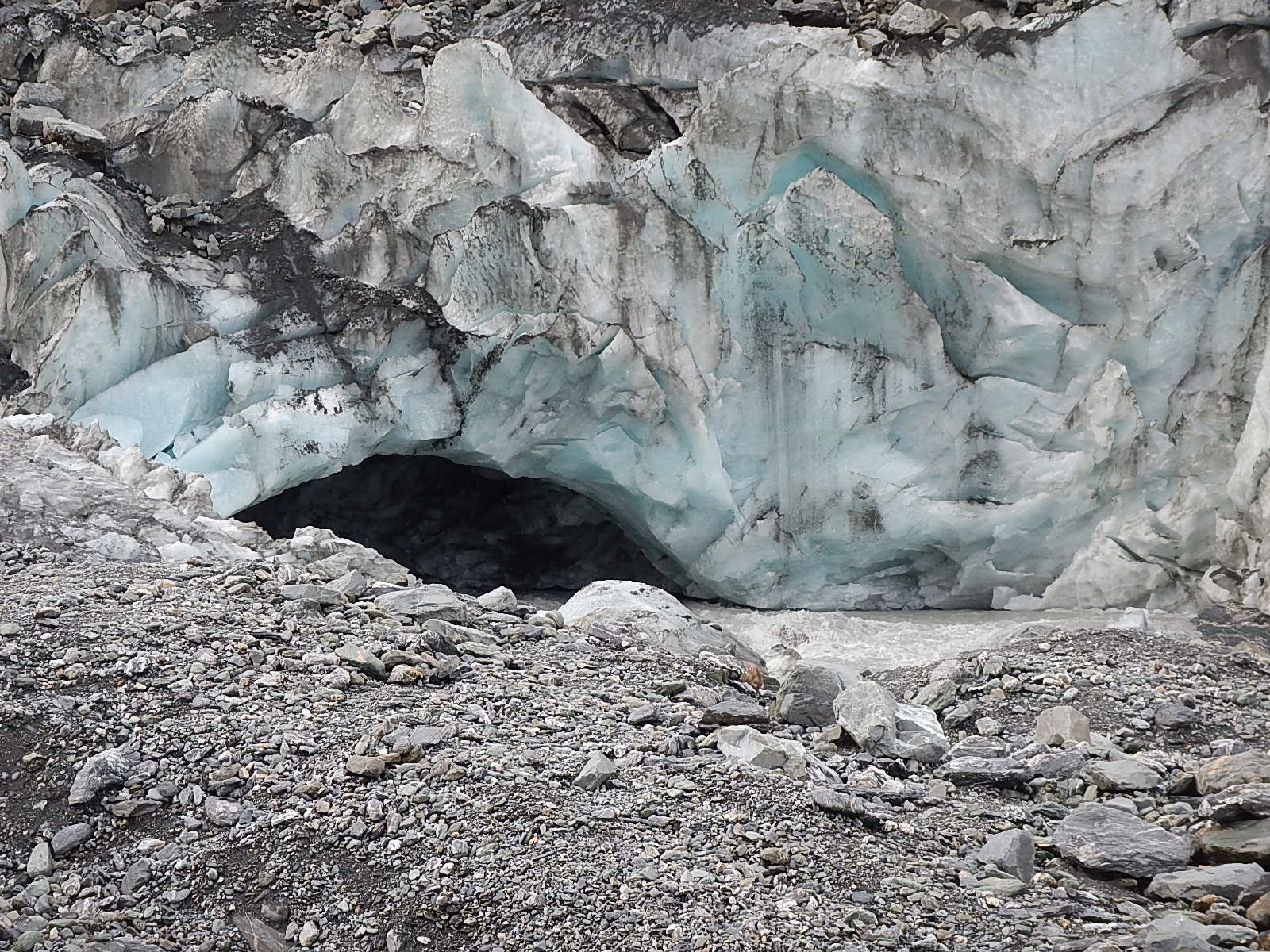
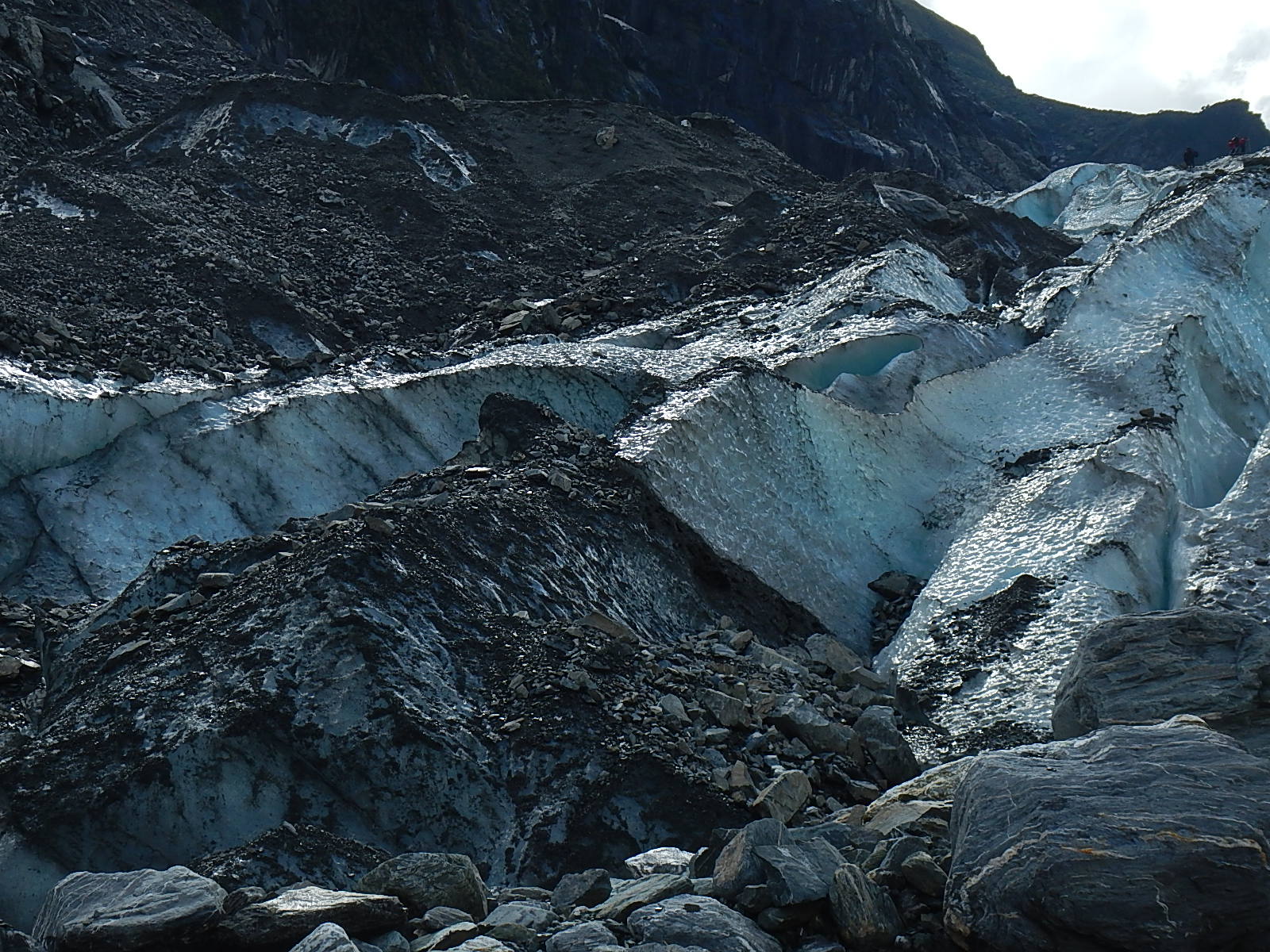
 It seems to me that there are three things that people most immediately associate with the Galapagos Islands; 1) Charles Darwin, 2) Giant Tortoises and 3) Blue-footed Boobies!
Since I’d already made my pilgrimage to the Charles Darwin Research Station to meet the giant tortoises (and land iguanas,) the next stop on my tour was to track down the blue-footed boobies!
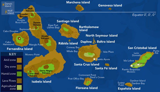
At 8AM last Tuesday morning, I (kinda sorta) sprang from bed to meet the bus that would take a number of us visitors on a day-long excursion to North Seymour Island, one of the more ecologically-important islands north of the central island of Santa Cruz. Sparsely populated as it is, North Seymour is famous for its many blue-footed boobies along with its equally legendary frigate birds, land iguanas, marine iguanas and sea lions. We would also have a chance to snorkel along the shoreline. Needless to say, I was pretty excited at what the day would bring.
My fellow touristas on the bus seemed to be from everywhere in the world – South Africa, Holland, New Zealand, France, Texas, London and Indiana (no, not me, someone else!) – all of us equally intent on spotting a blue-footed booby. George was our guide and the boat; the Galapagos Shark would be our vessel.
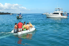
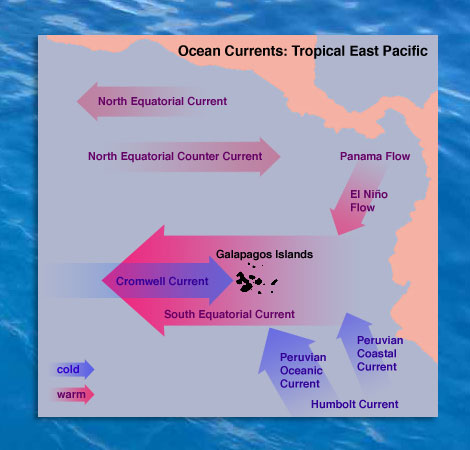
The bus ride to the north end of Santa Cruz Island took about 30 minutes. As we drove up and over the center of the island, we rose up to a height of 1600 feet… from which we could see across the tops of the ancient volcano craters out of which the island had originally formed. Then we headed back down to the shore on the north end where we left the bus and jumped into a small inflatable dingy that took us out to the awaiting Galapagos Shark. Once on board, we were given a brief safety talk and description of our day. We learned that the trip to North Seymour would be another 40 minutes passage along a beautiful shoreline pocked with small sandy beaches. Let me tell you, I made the most of my time having someone else drive the boat, by just riding along, sitting on the bow and watching the world roll by!
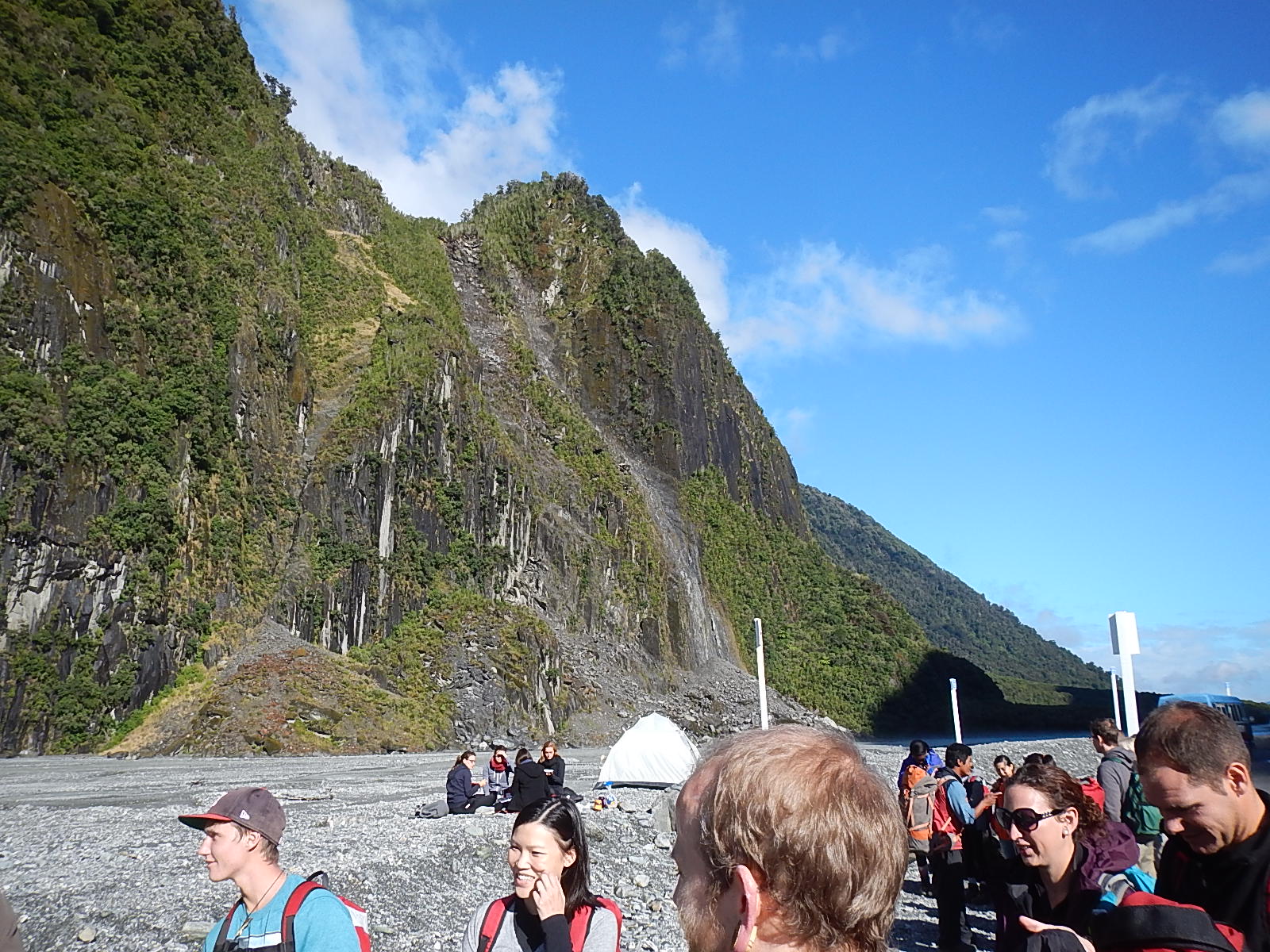
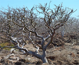 At first look, North Seymour looked none too inviting. Dark reddish brown lava rock met us at the difficult landing spot. Once on land, we were introduced to an array of scruffy trees, all about five feet tall… that looked next to dead. We were told that the environment this time of year is very dry and desert-like, and that this is as tall as the trees grow. It was good to know that they weren’t dead at least, but simply in a state of “summer hibernation.”
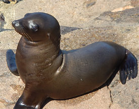 Once we were all regrouped on shore, we were in short order greeted by a small and precocious baby sea lion, barking as if insisting that we all come and play with him – right now! Our guide George explained to us that mother and father sea lions travel long distances out to sea during the day to feed and to bring food back for the little ones who stay behind on the island were there (lucky for them) there was an absence of predators.
Soon after commencing our walk, we began to see frigate birds – another iconic species of the Galapagos. These birds are known for their exceptional ability to float and soar for long periods of time, as well as their unique mating habits, all of which are observable there on North Seymour.
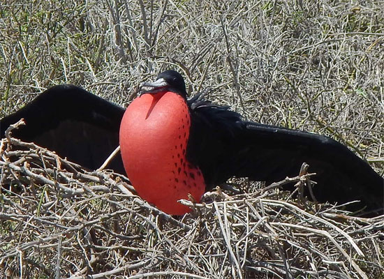
A fully inflated frigate bird …
One fun thing about the frigate birds is that the male bird has this bright reddish-orange sac under its chin which once engaged in its mating rituals, he inflates to a disproportionate size all in the hope of attracting a female, while they in the meantime, are soaring overhead scanning the group of puffed-up male birds looking for the one it finds the most attractive. Once paired off, the male presents the female with a stick as a sort “down payment” gesture to signal his readiness to begin nesting and breeding.
At this time of year, you can see a number of young in the nests who wait for the mother to bring food back to them. At the same time, other frigate birds were just initiating new mating cycles. So, there was quite a visual and sound mix of bloated red chins and chirping baby frigates going on as we tramped about the island.
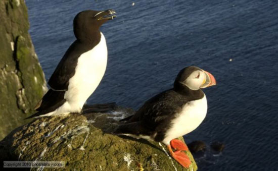
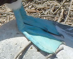
Towards the northern side of the island, we at last happened into a blue-footed booby neighborhood. I am happy to report that these birds do indeed have very blue feet. I mean it … really blue! I’m not talking blue-ish or fill-in-the-blank blue, but blue like a robin’s egg blue!
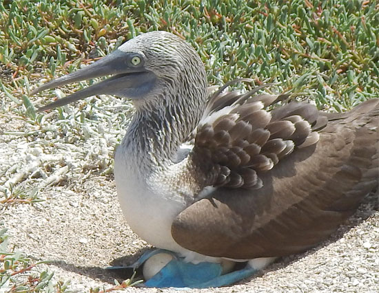
A blue-footed boogie avec œufs …
We walked through their nesting area and among the many nests, there were a number of birds actively incubating their eggs. The boobies use their blue feet to roll the eggs directly beneath them and then cradling them with those big blue feet, they lower themselves right down onto the eggs to warm them and so incubate them to hatching.
While the frigate bird nests up in the trees, the blue-footed booby nests on the ground. As we walked along and encountered both species, it was hard not to see them as eco-friendly collaborators, what with the boobies nesting on rocks just a foot or two off the ground and the frigates nesting in those tress, closer to five feet off the ground!
While it was fascinating to see the bright red necks of the frigate birds and the bright blue feet of the boobies, it was extra exciting to see these fairly substantial creatures ascend to the sky and fly with such grace and power over our heads in ballet-like formations of ten to twelve.
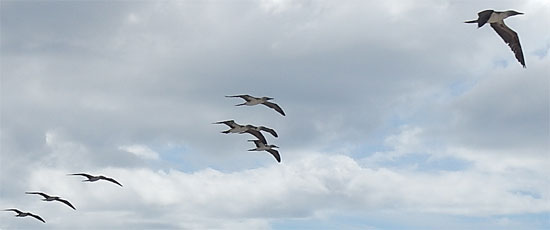 For these formidable aviarians, the sky’s the limit …
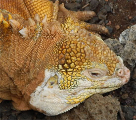 As if the blue-footed boobies and red-necked frigate birds weren’t enough, from time to time, we’d see large land iguanas as well, moving around under cactuses. As you can see, these creatures are vibrantly colored yellow and orange to blend in with their surroundings. Many of these iguanas live to over 40 years old!
Having had my curiosity about the blue-footed boobies satisfied, it was time to head back to the boat and see about doing some snorkeling along the shore of the island.
While the past several years, I never seem to be far from the ocean, the fact is that it has been many years since I’ve snorkeled – and this didn’t look to me to be a very inviting area to make my underwater comeback. But what the heck… ever the good sport, I donned my mask and flippers and slipped into the warm waters along with everyone else.
Starting in about 25 feet of water, I could see below me some rays slipping along the bottom. As I swam closer towards the rocks nearer to the shore, the water got shallower, and as it did, more and more different kinds of fish started to appear. From tiny darting fish to bigger, slower moving and more brightly colored fish – it was quite the sight to be down there swimming right alongside them. Darn! I’d forgotten how much fun snorkeling was!
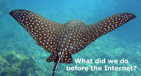 We had been snorkeling for half an hour or so when out of the corner of my eye I saw something large coming up right alongside me. Suddenly there appeared a rather large and very beautiful Eagle Ray propelling itself along so very gracefully – as if it were a bird in the air. So mesmerizing it was – its body black with white spots on the top and lightly colored underneath. I just floated and let it swim around me, as if I wasn’t even there! Alas, I had decided earlier not to risk bringing my camera … but that was at the cost of not having any photographs to show you of that magical Eagle Ray – except the one above, graciously provided by our dear been-everywhere seen-everything friend, the Internet.
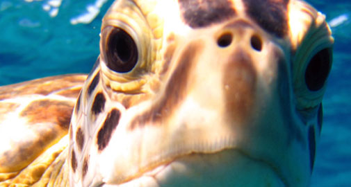
As if this wasn’t enough, and after a great lunch of grilled fresh fish onboard the Galapagos Shark, the Captain steered us towards a sandy beach where we landed and began to investigate the lagoon just inside the shore. On our way there, we saw the remains of a sea turtle nest. These were fairly large craters dug into the sand – some maybe 5 feet in diameter. This is where the sea turtles lay their eggs and from where new hatchlings scurry (if turtles can be said to scurry) across the beach and out to sea.
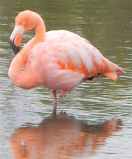 At the lagoon, we were also treated to the sight of two pink flamingos. Elegant and long-legged, with one leg artfully pulled up under its body; they rested and preened their feathers, as all in our tour group fell over each other in the rush to take photographs.
The Galapagos is such a unique marine environment that I would have to say that just showing up by boat on a random Tuesday without some kind of plan in place is not exactly the best way to take in all that’s there. As it was, by the time I began to call, many of the tours were booked and I was lucky to get on the one I did. Should I return, I’ll be sure to plan ahead so that I can catch even more of the deep-in-time experience that awaits you there.
On the bus ride back to town, we stopped for a moment at a huge sinkhole in the middle of the island. It was explained to us that this was not a volcanic crater, even though it looked like one. Nope, this was an actual sinkhole and it was no less than 1000 years old! The ground around it was a honeycomb of volcanic rock, and it was an earthquake that caused the ground to collapse. What a beautiful and amazing site it was.
So much to see on these islands that has remained largely undisturbed for thousands of years – an amazing place to explore… a place where you get the curious feeling that time has slowed down perhaps to better accommodate the great turtles.
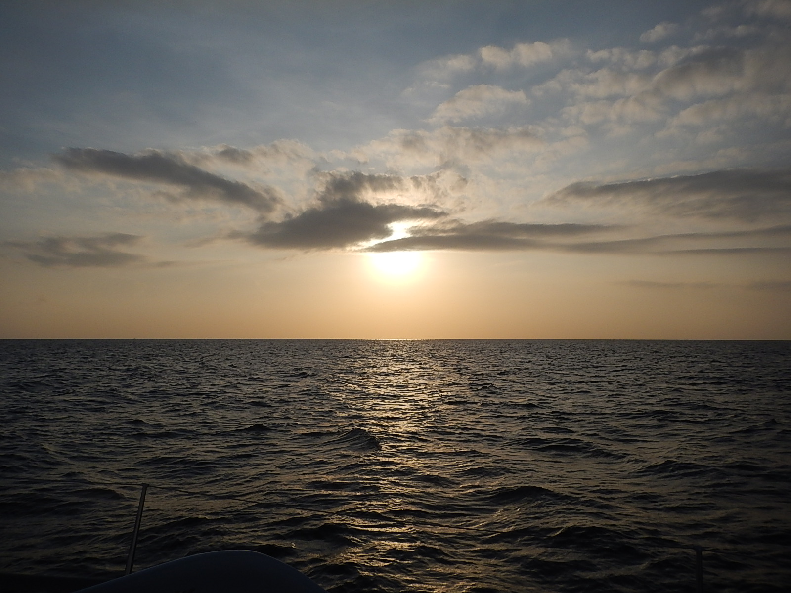
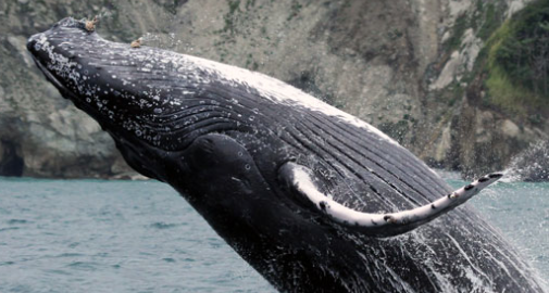
Now that I’m back on the water and continuing my sail to Panama, I continue to reflect on the beauty that I witnessed on the Galapagos Islands. I hope that I’ll get the chance to visit once again and to see more of it all at a more leisurely pace. Until then, memories of blue-footed boobies, red-breasted frigate birds, eagle rays and giant tortoises will have to suffice.
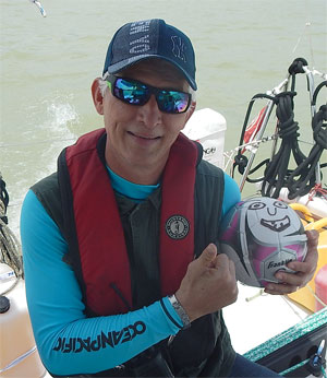
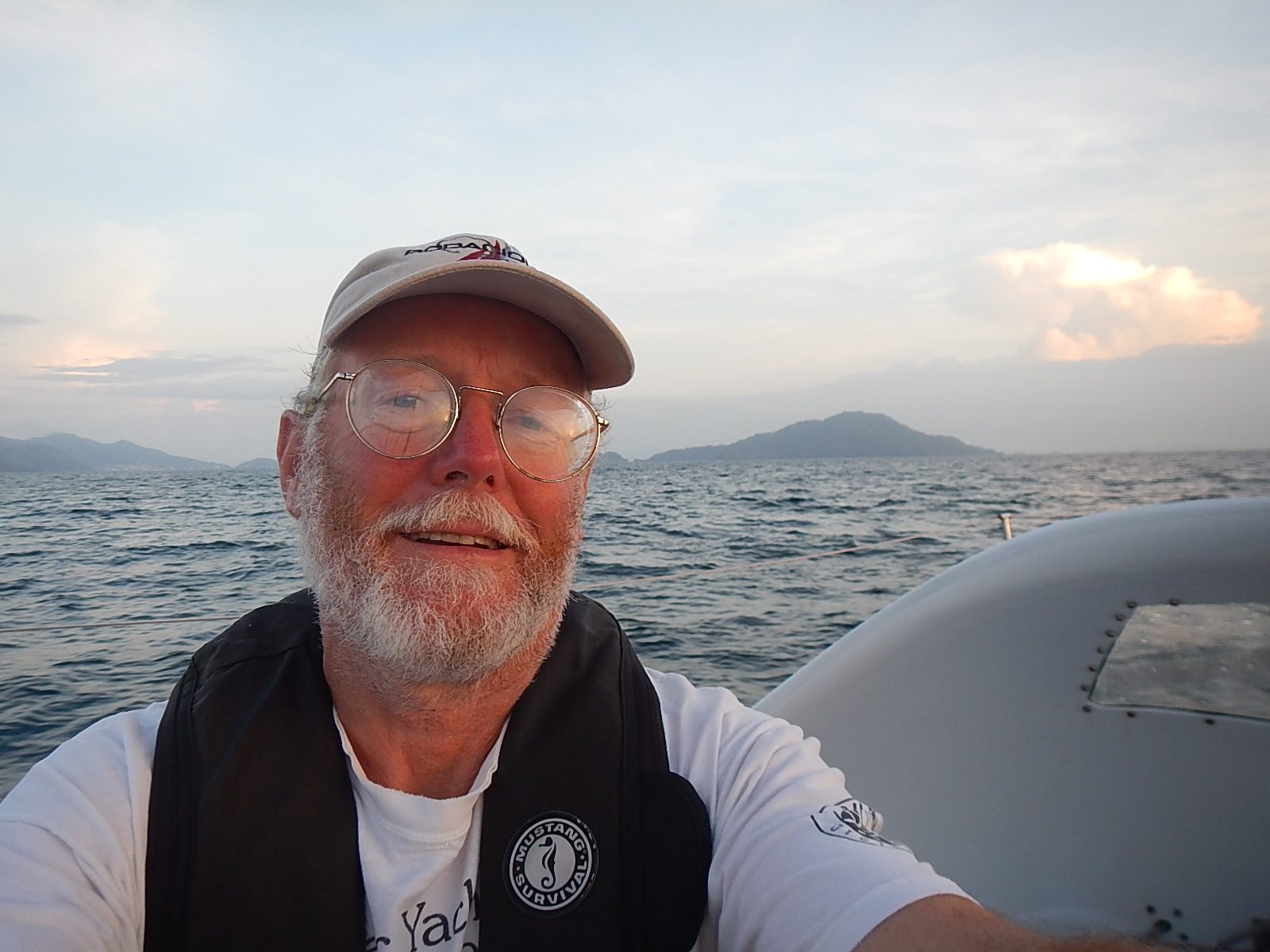
– Dave, Bodacious Dream (and the sea lion) Franklin

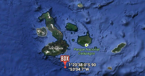
3.67462N, 83.3392W

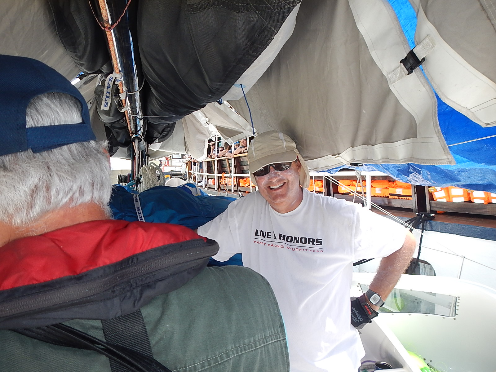
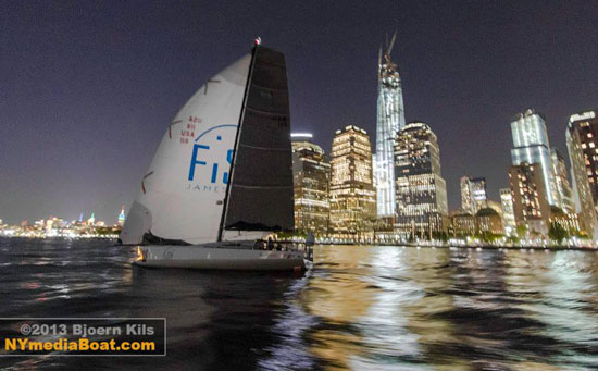
 Last week, just after arriving here in U.S. waters, I met up with an old friend Tim Kent. Back in 2002, Tim competed with his Open 50 in the “Around Alone” race, sailing the world singlehanded. Part of our discussion centered on the tools and technologies that I used to make a journey similar to the one he made 12 years earlier. He told me that from his boat at that time, he was able to send off daily email reports, which was fairly recent technology back then. Now – depending of course on the connectivity (which is pretty darn spotty in the more remote parts of the ocean) – I was able to send videos and photos off the boat. One day before long, it will no doubt be possible for sailors like Tim or myself to stream HD color video and high-quality audio from anywhere in the world. Imagine the windows on the world that will open!
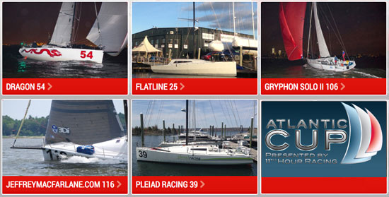
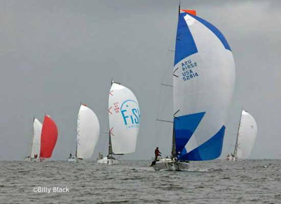
 Why not I thought, for the sake of our BDX Learning and Discovery agenda, interview some of my friends who are more knowledgeable than I in specific areas of new sailing-related technologies. So, that’s what I did … and I must say I was knocked out by the results. I would like to share with you here all three of the interviews that I conducted recently with a group of the most skilled folks I know, in the areas of Navigation, Rigging and Composite Technology.


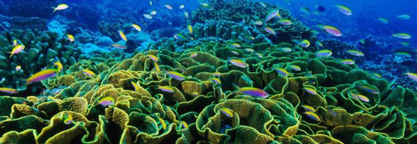
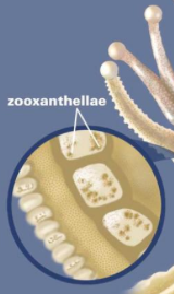 A coral reef is made up of many colonies of coral polyps which build the reef structure out of calcium carbonate. Tropical corals contain zooxanthellae, which is tiny algae that lives inside the coral where it photosynthesizes, creating food from sunlight. These algae are also what gives coral its brilliant and diverse colors. This means that coral can only occur in the “photic” zone, where sunlight penetrates the water. Corals polyps feed by extending stinging tentacles outwards to capture small prey and particles in the water column. Corals are related to other stinging animals including sea anemones and jellyfish.
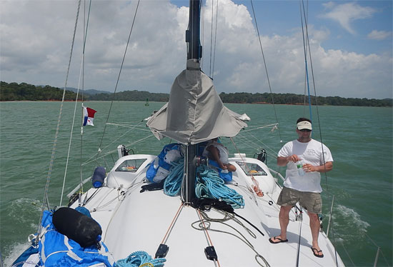
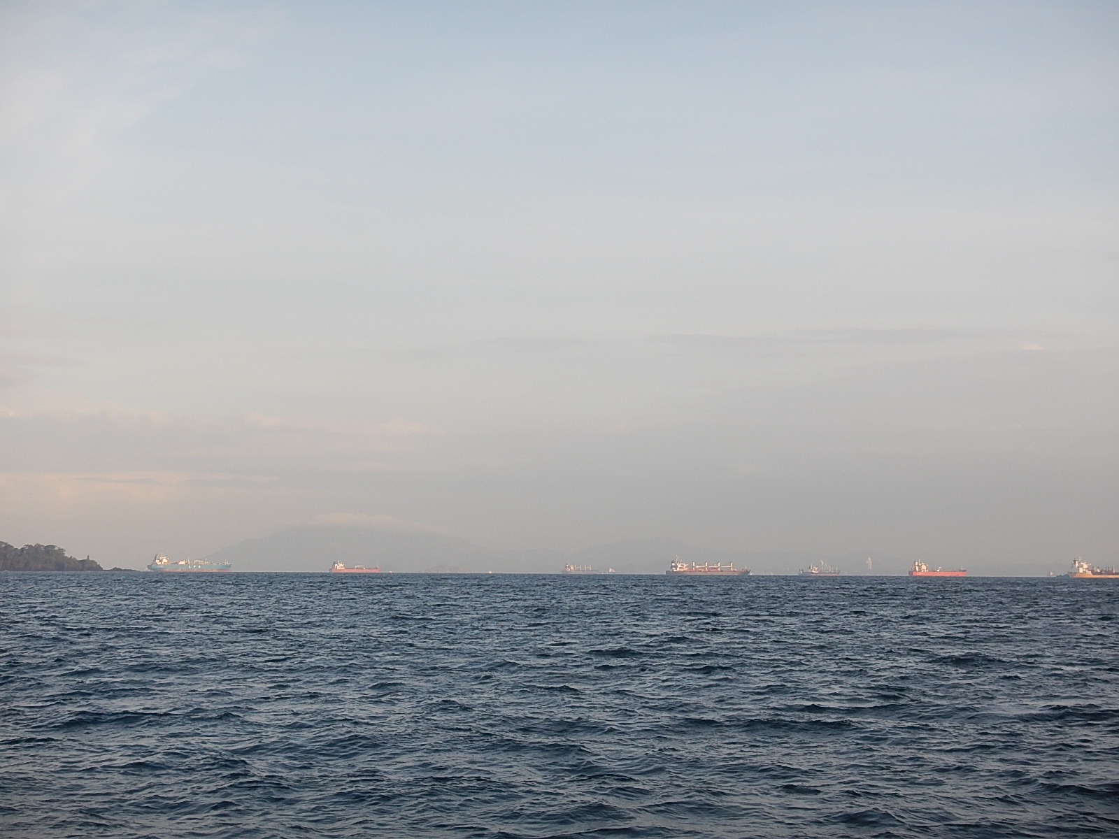
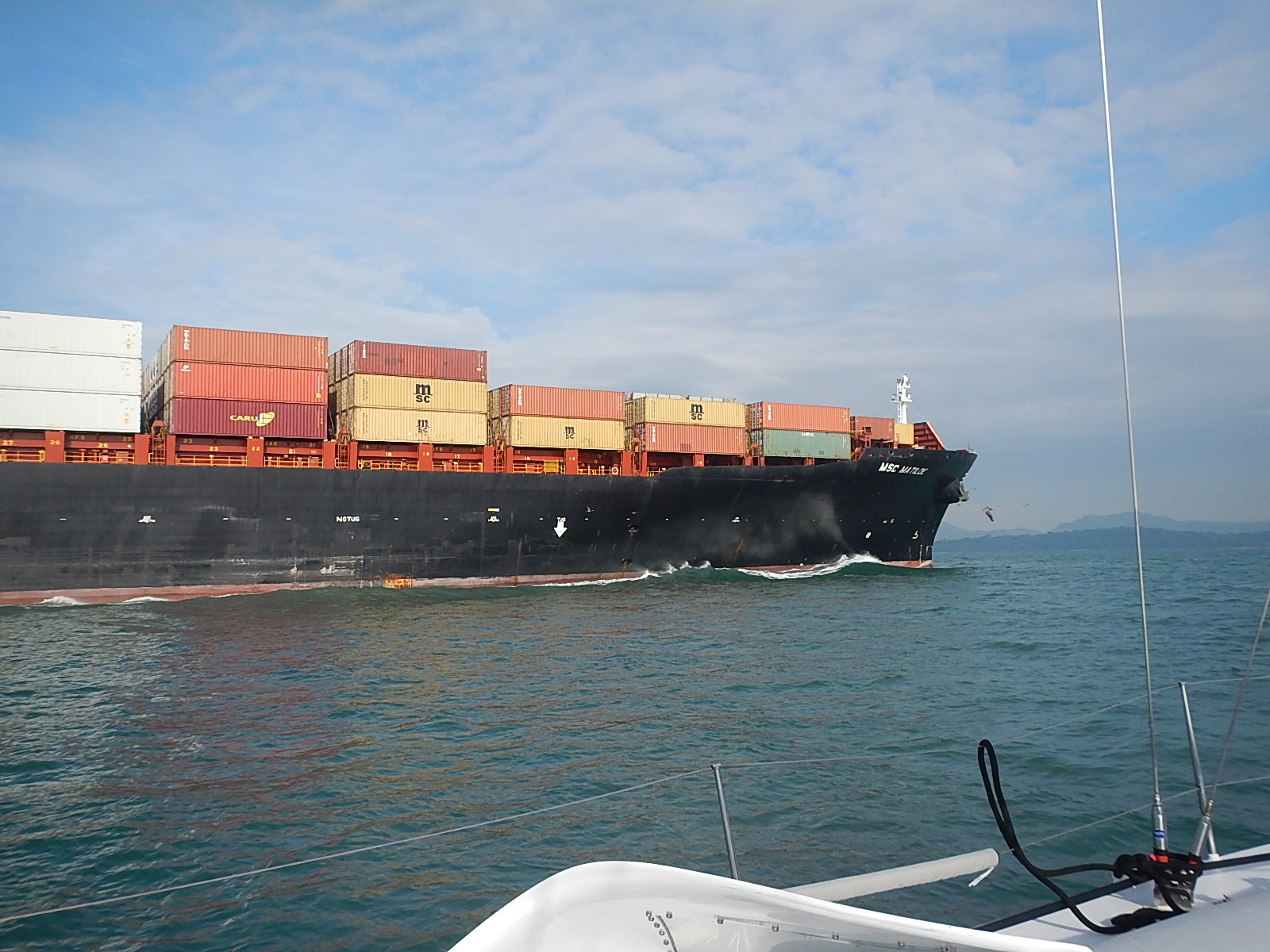
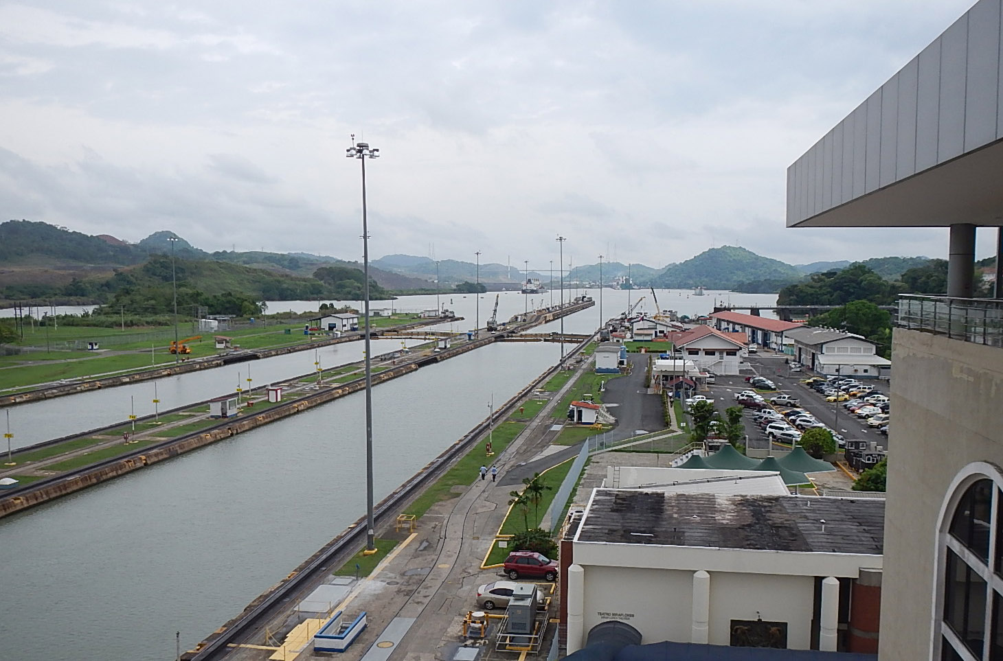
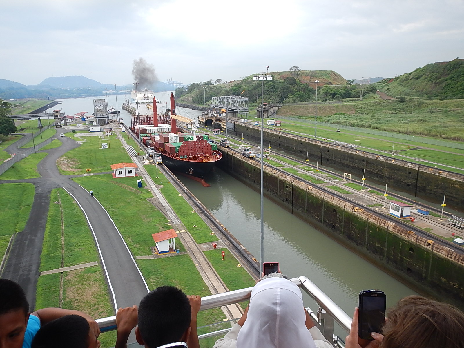
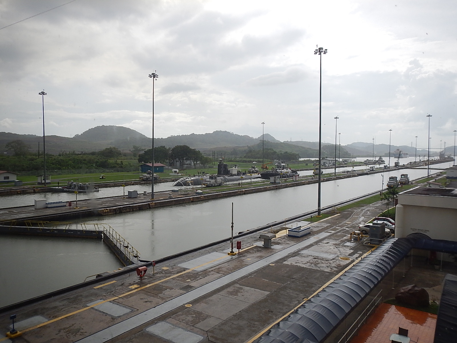
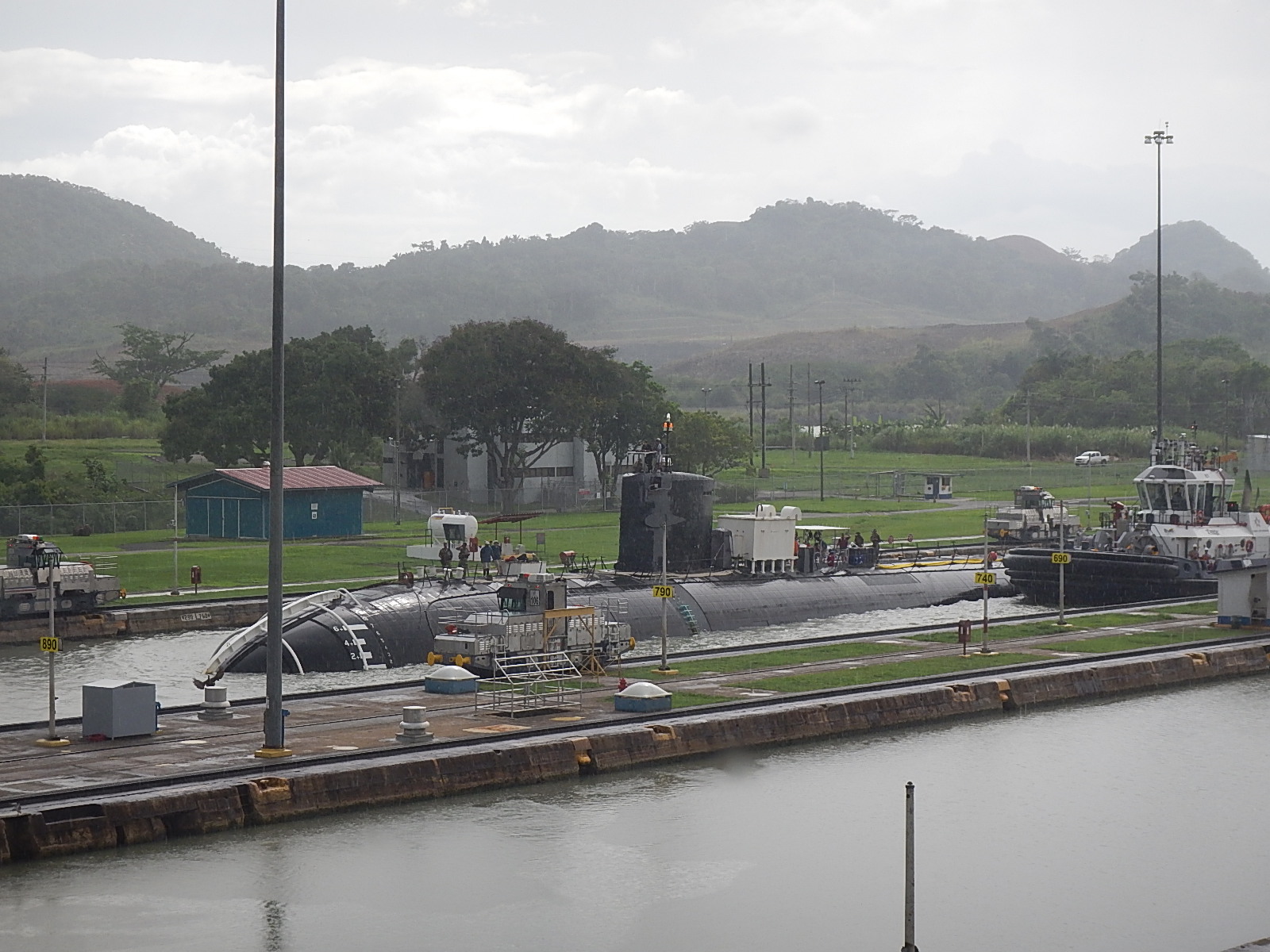
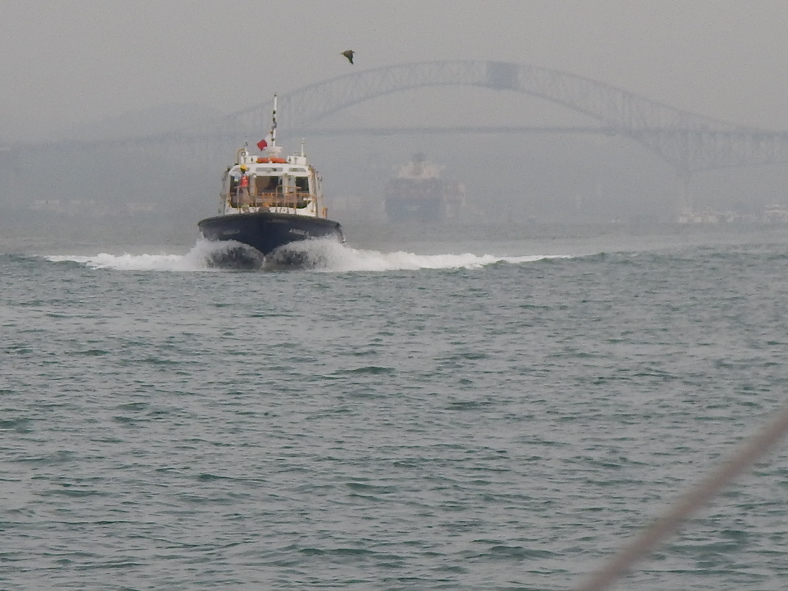
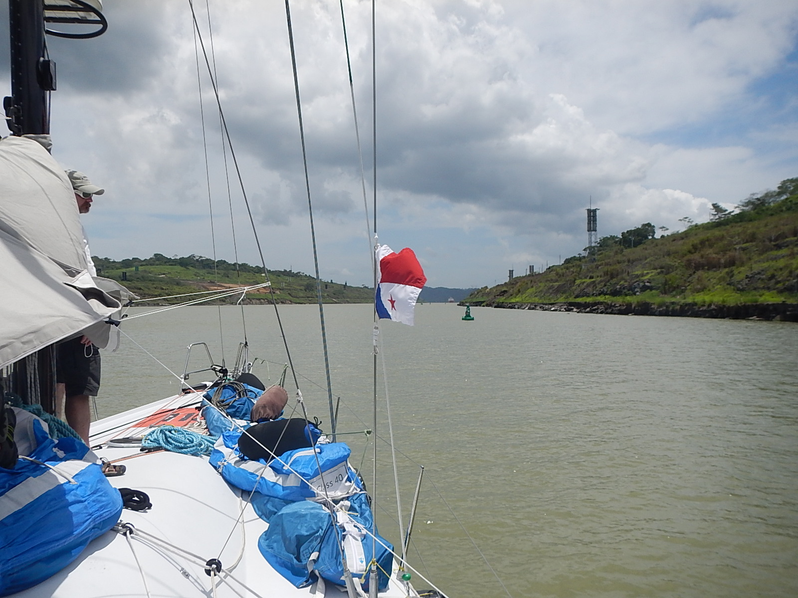
 It’s early morning on Thursday and I’m heading down to the marina to put final provisions and water onto the boat and hopefully, by the time you read this, I will have departed. Our course will take us north towards the Yucatan passage that runs between